Blank Africa Map: Free Printable Outline
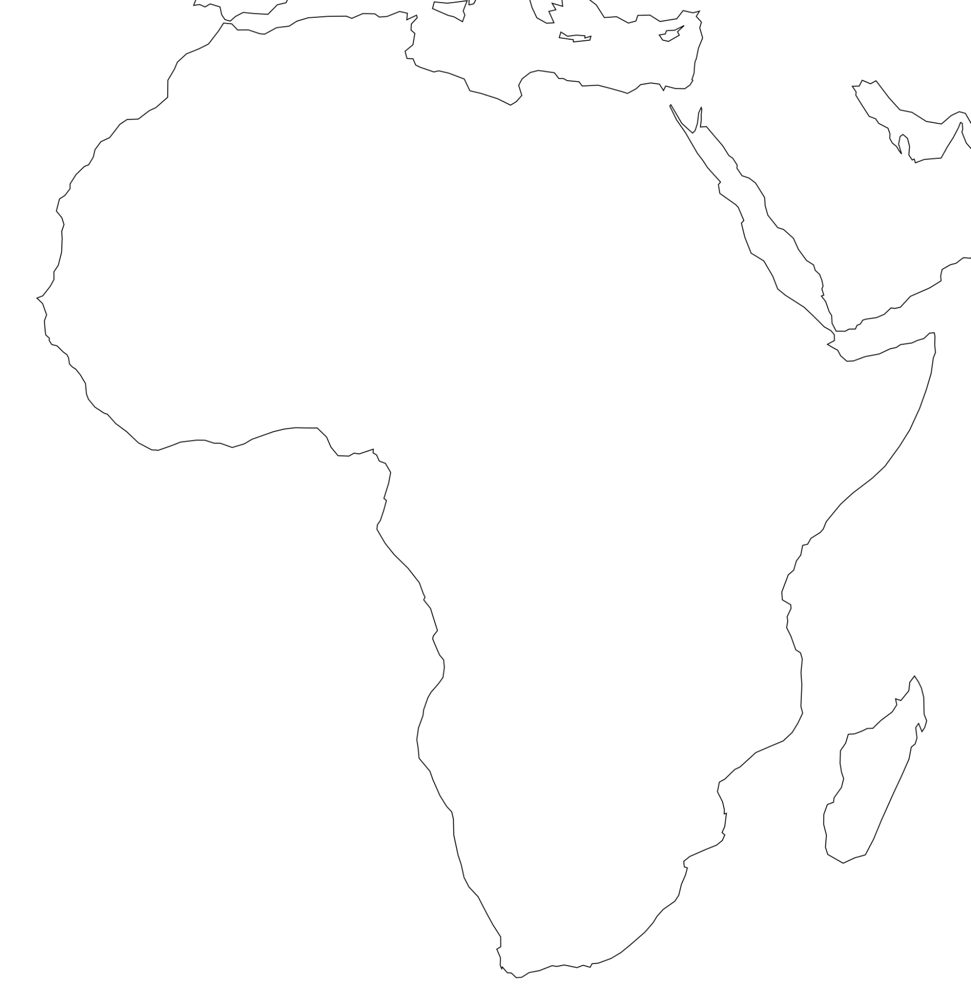
Download or print a free blank map of Africa below. The outline map shows the coastline of the African continent and Madagascar with no country borders or labels, so students can draw in borders, label the 54 countries and their capitals, or mark rivers, deserts and mountains. It is a high-resolution PNG (1900 × 1928 px) that prints cleanly on A4 or US Letter paper; use your browser's "Print to PDF" option if you need a PDF copy.
Last updated: September 2026
Below the downloads you will find an interactive practice map, a checklist of every country to label grouped by region, and a list of physical features that most geography worksheets ask for. When you have finished, check your answers against the political map of Africa or the physical map of Africa.
Interactive Blank Map Tools
Africa Geography Quiz
Download Free Africa Maps
All files are free for personal and classroom use. Click to open, then save or print.
Blank Outline Map (PNG)
Coastline of Africa and Madagascar only, with no borders or labels. Best for tracing borders, colouring and labelling exercises.
Download PNGPolitical Map for Checking Answers (PNG)
Africa with country borders and names (labels in French), plus the Equator and tropics. Use it as an answer key after a labelling exercise.
Download PNG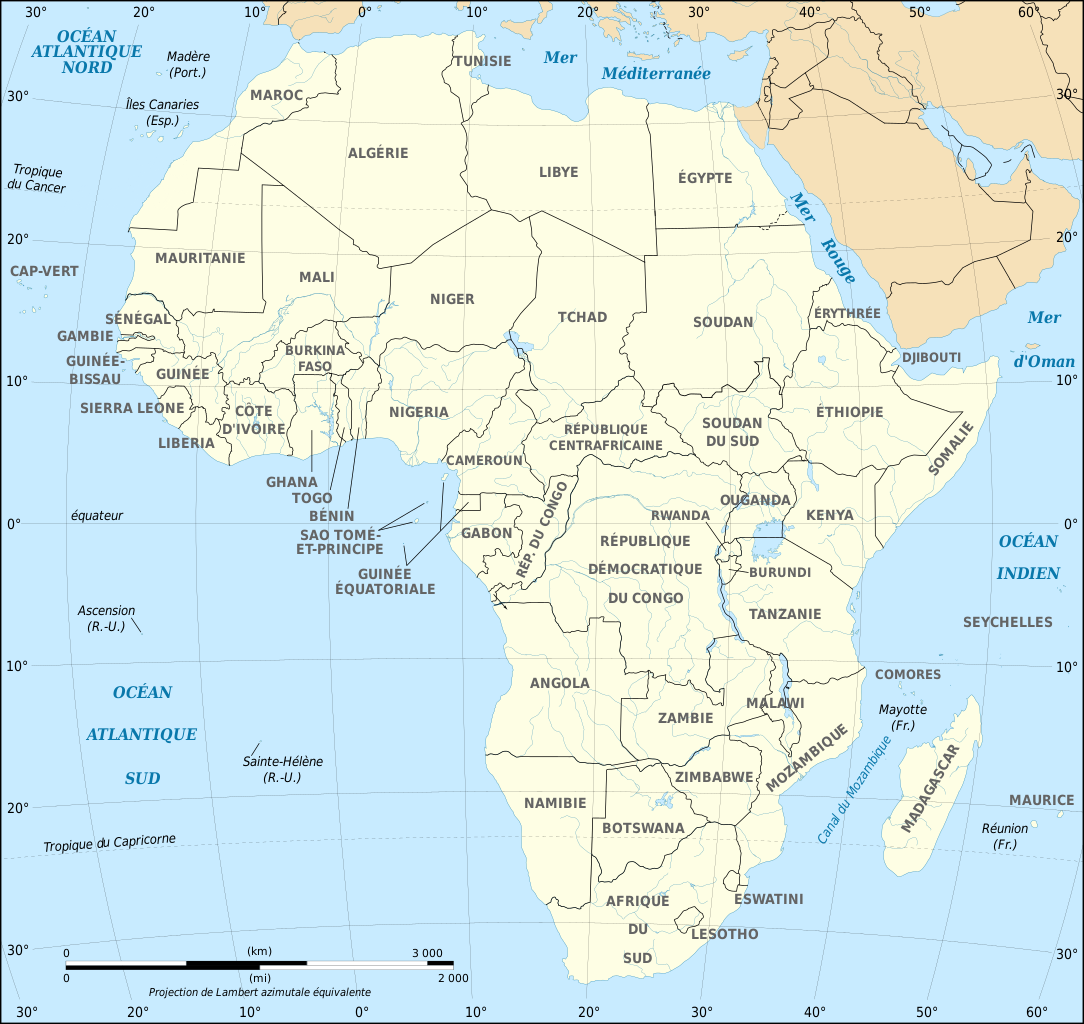
More Maps
Country maps, population-density maps and satellite maps of Africa are collected on the downloads page.
All DownloadsHow to Use a Blank Map of Africa
- Print the outline at 100% scale (turn off "fit to page" if the edges are cut).
- Add reference lines: the Equator passes through Gabon, the two Congos, Uganda, Kenya and Somalia; the Tropic of Cancer crosses the Sahara; the Tropic of Capricorn crosses Namibia, Botswana, South Africa and Mozambique.
- Draw or label countries region by region using the checklist below, starting with the largest (Algeria, DR Congo, Sudan, Libya) and the most populous (Nigeria, Ethiopia, Egypt, DR Congo).
- Add capitals and features, then compare your map with the answer key.
For younger learners, start with the five regions and the oceans. Older students can add all 54 countries and capitals, or turn the outline into a thematic map (climate zones, languages, colonial powers in 1914). For timed practice, try the Africa map game.
Checklist: The 54 Countries to Label
Grouped by the UN geoscheme regions. Western Sahara is a disputed territory and is not counted among the 54 countries, but it usually appears on maps with a dashed border.
North Africa (6)
Algeria, Egypt, Libya, Morocco, Sudan, Tunisia. North Africa map
West Africa (16)
Benin, Burkina Faso, Cabo Verde, Côte d'Ivoire, The Gambia, Ghana, Guinea, Guinea-Bissau, Liberia, Mali, Mauritania, Niger, Nigeria, Senegal, Sierra Leone, Togo. West Africa map
Central (Middle) Africa (9)
Angola, Cameroon, Central African Republic, Chad, Republic of the Congo, Democratic Republic of the Congo, Equatorial Guinea, Gabon, São Tomé and Príncipe. Central Africa map
East Africa (18)
Burundi, Comoros, Djibouti, Eritrea, Ethiopia, Kenya, Madagascar, Malawi, Mauritius, Mozambique, Rwanda, Seychelles, Somalia, South Sudan, Tanzania, Uganda, Zambia, Zimbabwe. East Africa map
Southern Africa (5)
Botswana, Eswatini, Lesotho, Namibia, South Africa. Southern Africa map
Tricky ones to remember: Lesotho is completely surrounded by South Africa; Eswatini is almost surrounded by South Africa and Mozambique; The Gambia is a narrow strip inside Senegal; the small island countries (Cabo Verde, São Tomé and Príncipe, Comoros, Mauritius, Seychelles) are easy to miss on a small outline. Capitals are listed on the African capitals page.
Physical Features to Label
- Seas and oceans: Atlantic Ocean, Indian Ocean, Mediterranean Sea, Red Sea, Gulf of Guinea, Mozambique Channel.
- Rivers: Nile (the longest, flowing north to the Mediterranean), Congo, Niger, Zambezi, Orange, Limpopo.
- Lakes: Victoria, Tanganyika, Malawi (Nyasa), Chad, Turkana.
- Mountains: Atlas Mountains, Ethiopian Highlands, Mount Kilimanjaro (5,895 m, highest in Africa), Drakensberg.
- Deserts: Sahara, Kalahari, Namib.
- Other: Great Rift Valley, Congo Basin, Sahel, Horn of Africa, Cape of Good Hope, Strait of Gibraltar, Suez Canal, Madagascar.
Printing Tips
Open the PNG in your browser, choose Print, set the scale to "Fit" or 100% and portrait orientation. For a PDF, choose "Save as PDF" as the printer. Print on thicker paper or laminate the map if students will reuse it with dry-erase markers. For display, the image is large enough to print at A3.
Frequently Asked Questions
What is a blank Africa map used for?
Blank Africa maps are widely used for education — students label countries, capitals, rivers and physical features to test and reinforce geography knowledge.
How many countries should I label on a blank Africa map?
Africa has 54 internationally recognized sovereign states. Some blank maps also show the disputed territory of Western Sahara.
Where can I download a blank Africa map?
You can download the blank outline map of Africa free as a high-resolution PNG on this page or on our downloads page. To get a PDF, open the image and use your browser's Print → Save as PDF option.
What should I label on a blank map of Africa?
Most worksheets ask for the 54 countries and their capitals, the Atlantic and Indian Oceans, the Mediterranean and Red Seas, the Nile, Congo, Niger and Zambezi rivers, Lake Victoria, the Sahara and Kalahari deserts, Mount Kilimanjaro and the Equator.
Which African country is completely surrounded by another country?
Lesotho is completely surrounded by South Africa. Eswatini is almost surrounded by South Africa but also borders Mozambique, and The Gambia is surrounded by Senegal except for its short Atlantic coast.