Download Africa Maps
Explore our comprehensive collection of high-quality Africa maps.
Continental Maps
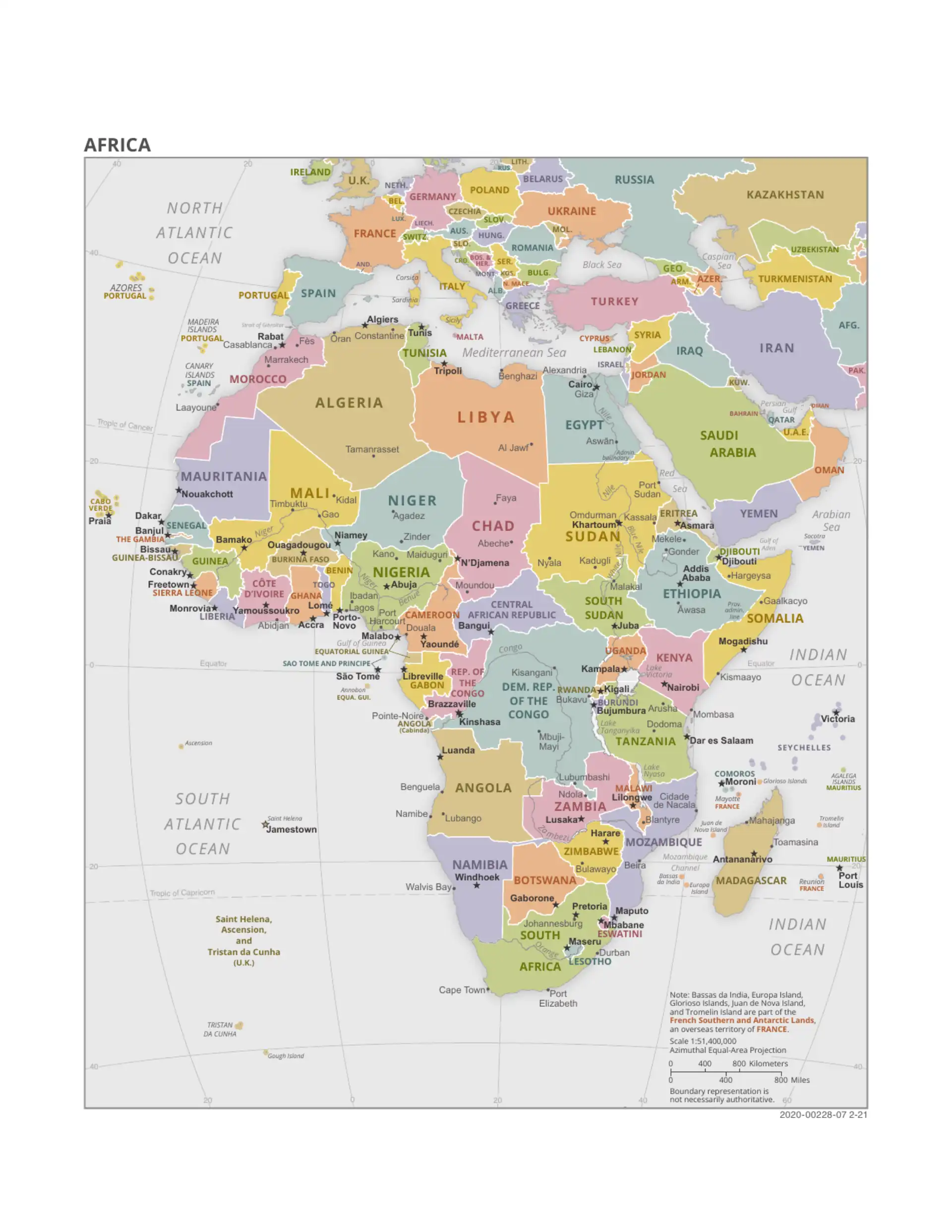
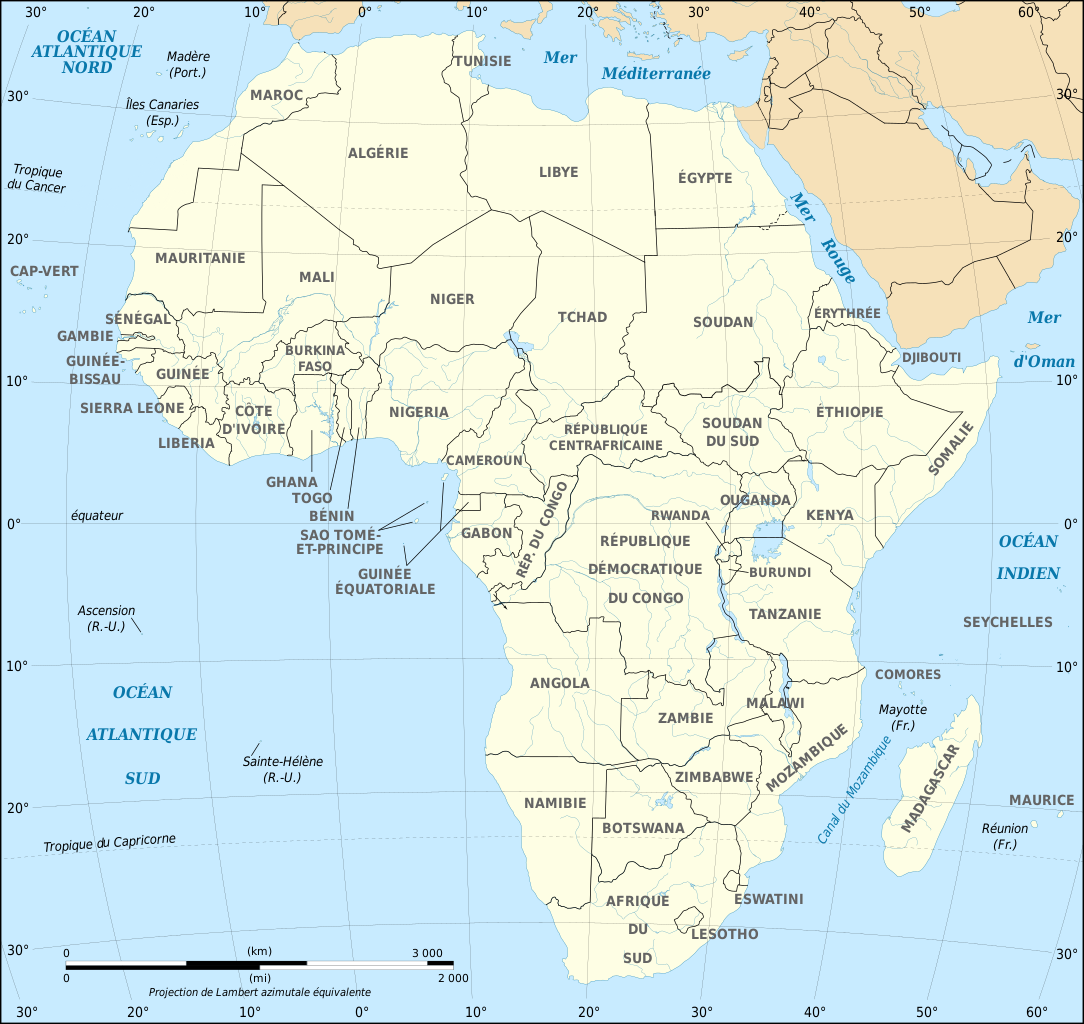
Political Map of Africa
Detailed political map showing all 54 African countries with clear borders and labels.
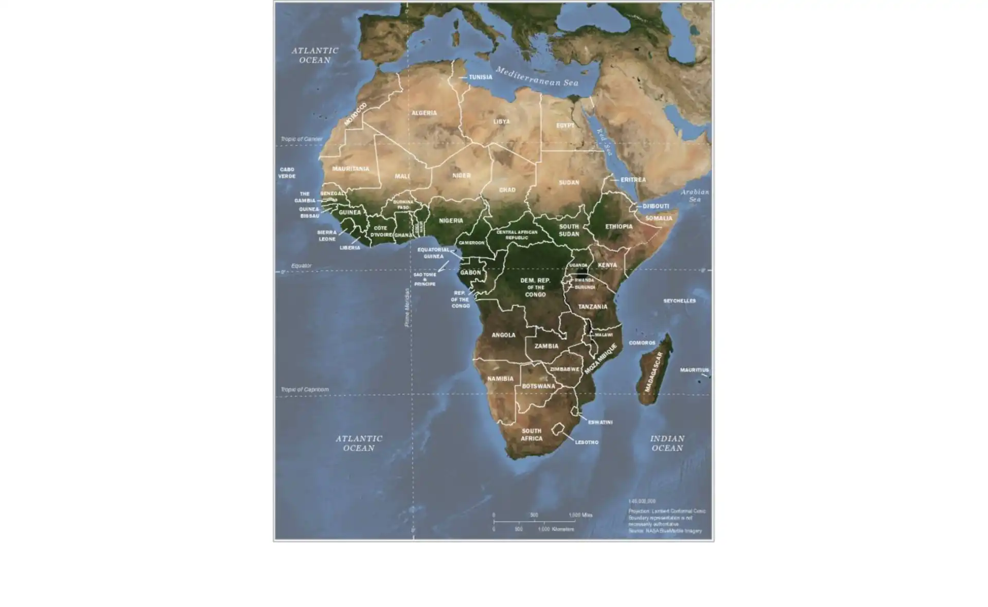
Satellite Map of Africa
High-resolution satellite imagery showing Africa's diverse terrain and geographical features.
Download WebP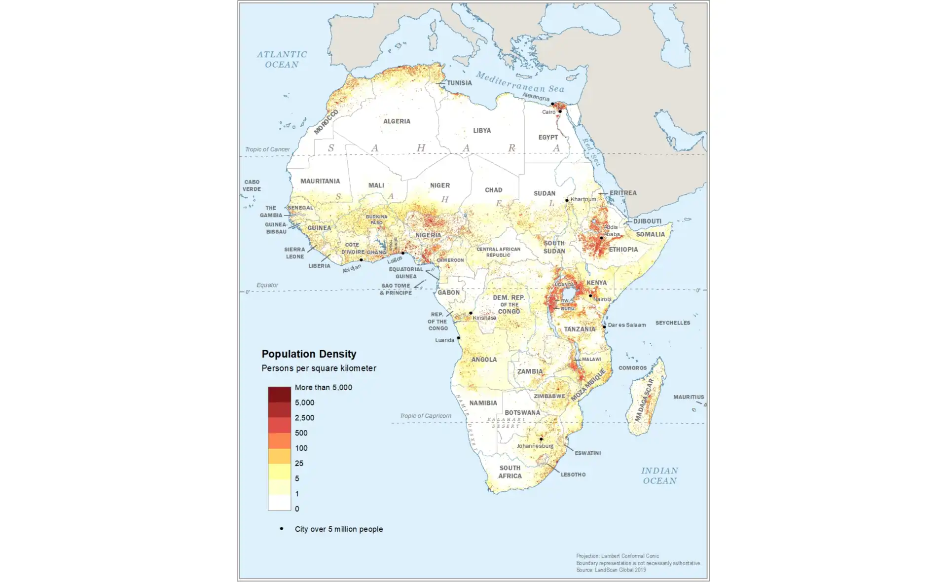
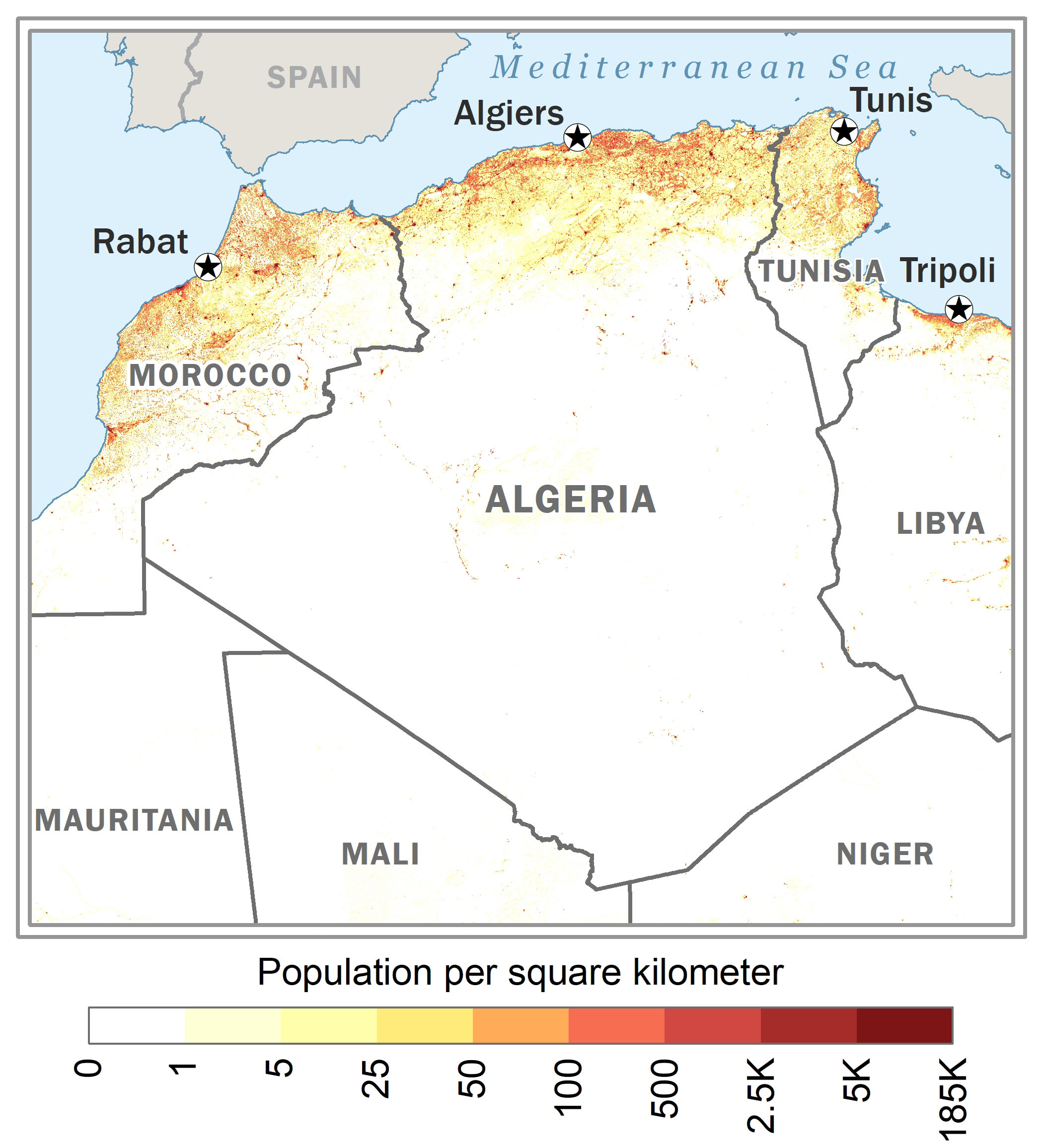
Population Density Map
Visualize population distribution across Africa with this detailed density map.
Download WebP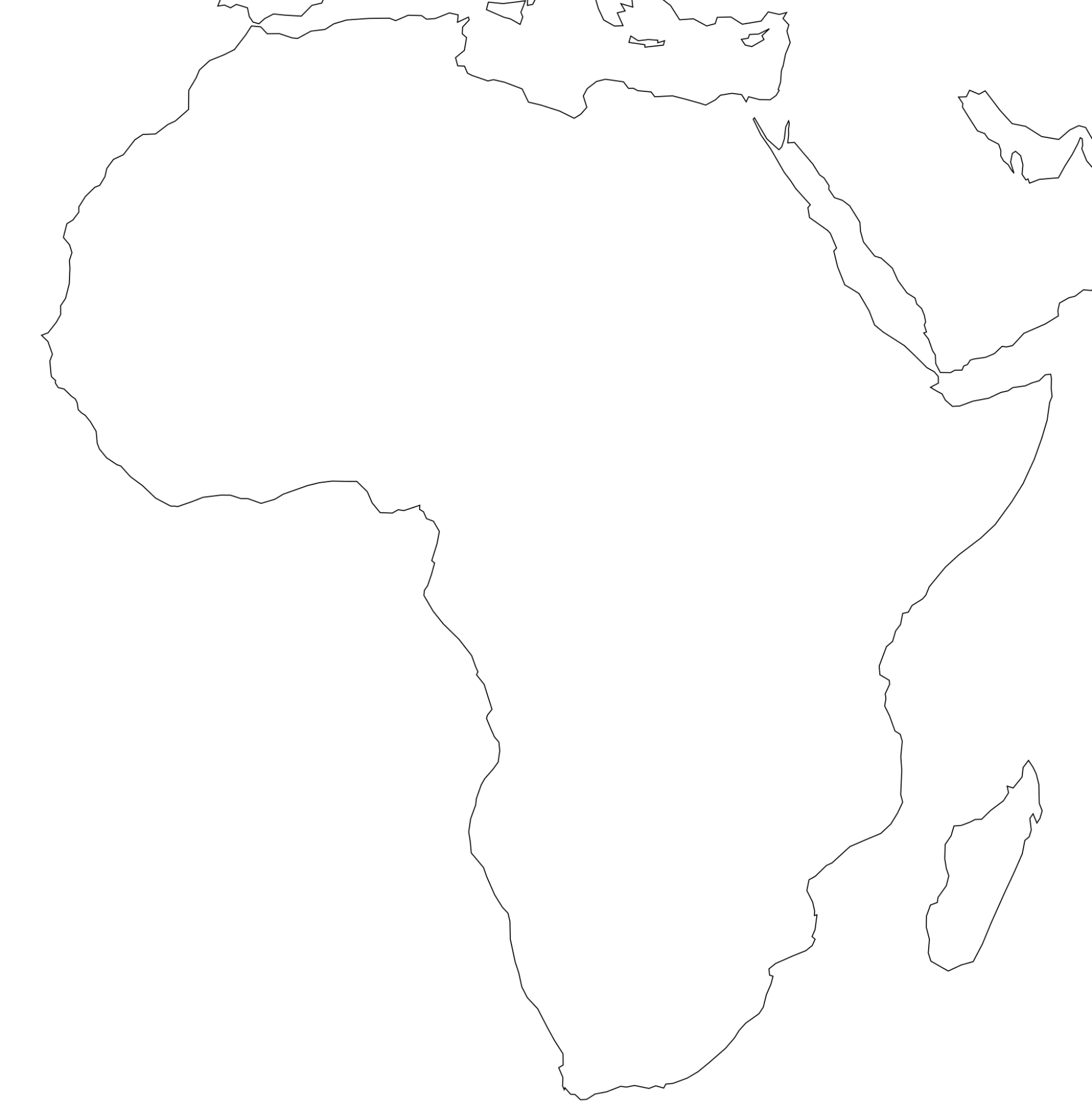
Blank Map of Africa
Perfect for educational activities, quizzes, or custom labeling projects.
Download PNGCountry Maps - North Africa
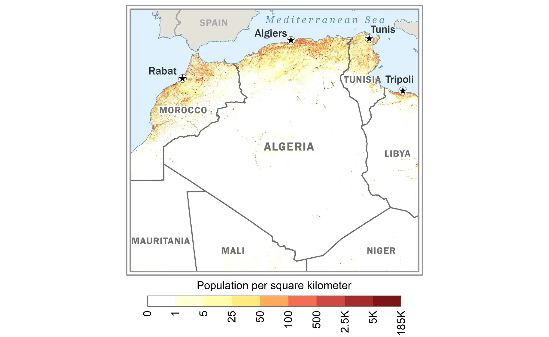
Algeria
Political map of Algeria, Africa's largest country by area.
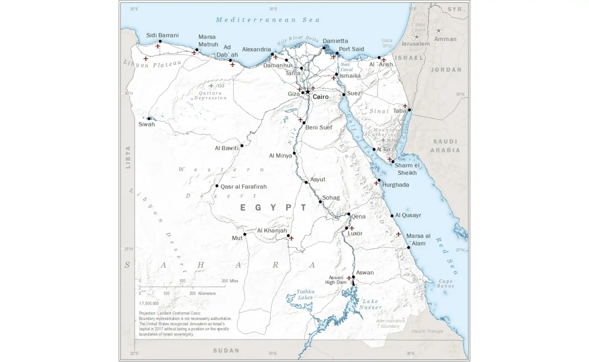
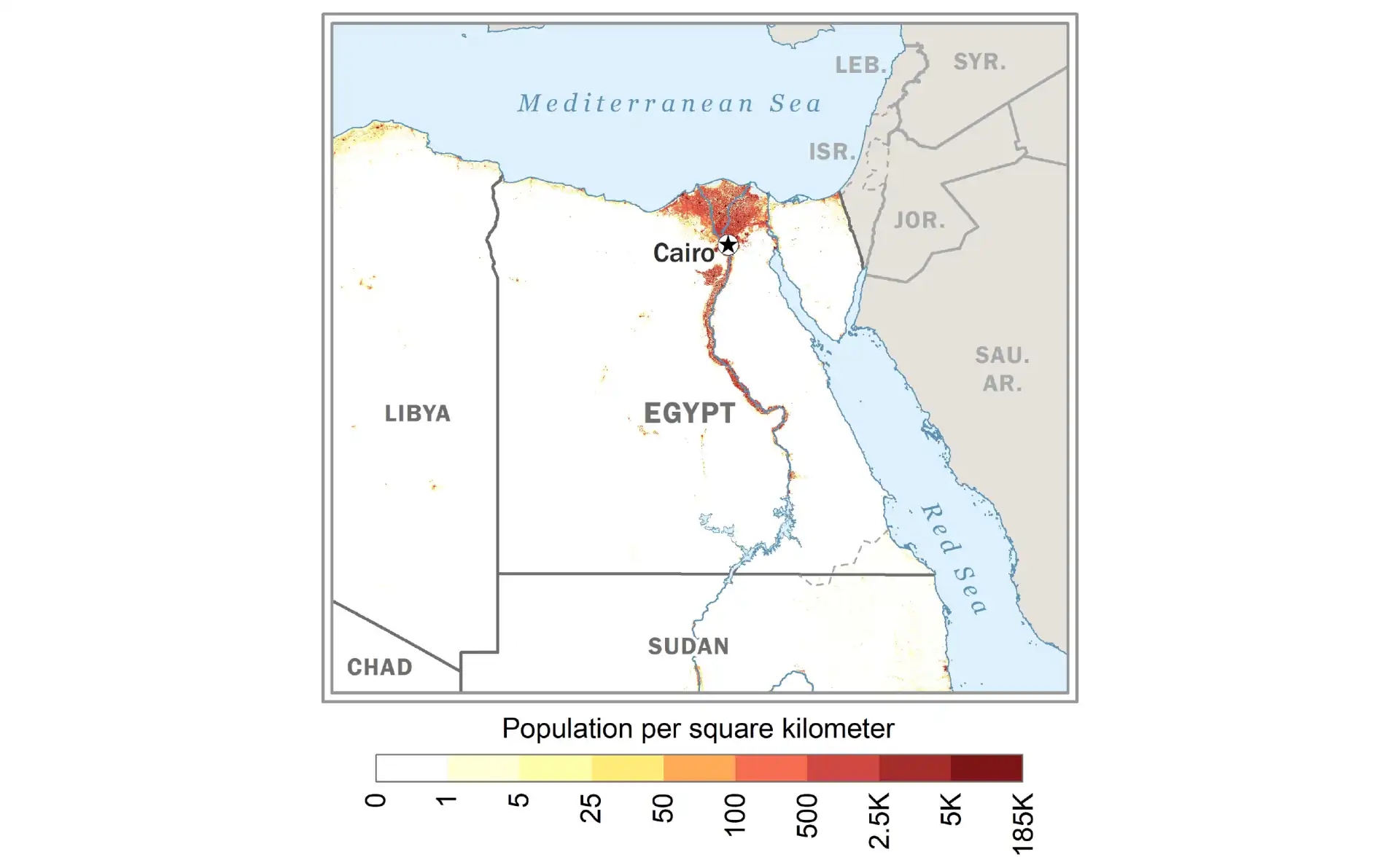
Egypt
Detailed map of Egypt showing major cities and the Nile River.
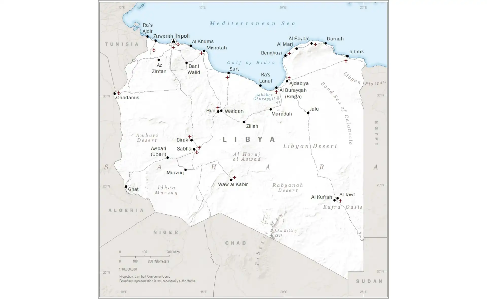
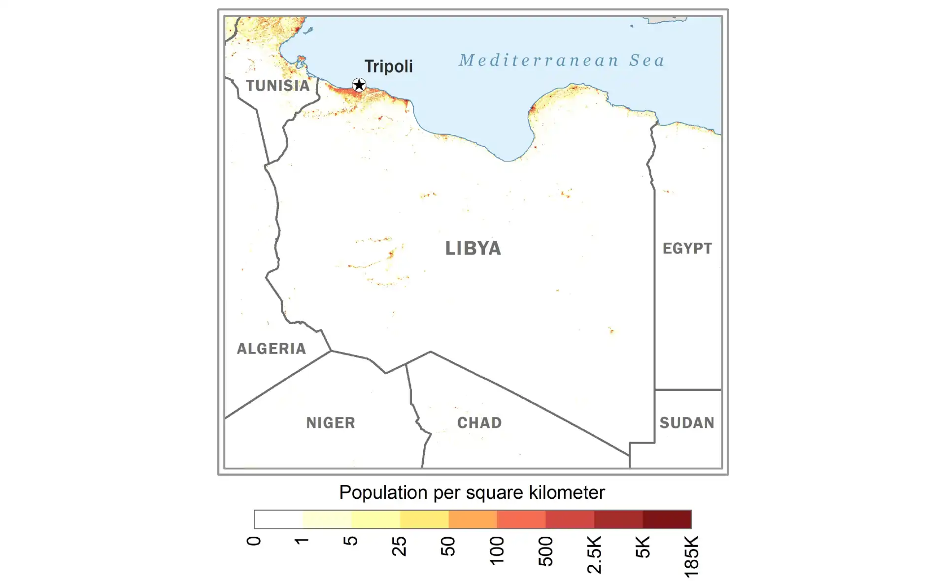
Libya
Political and geographical map of Libya.
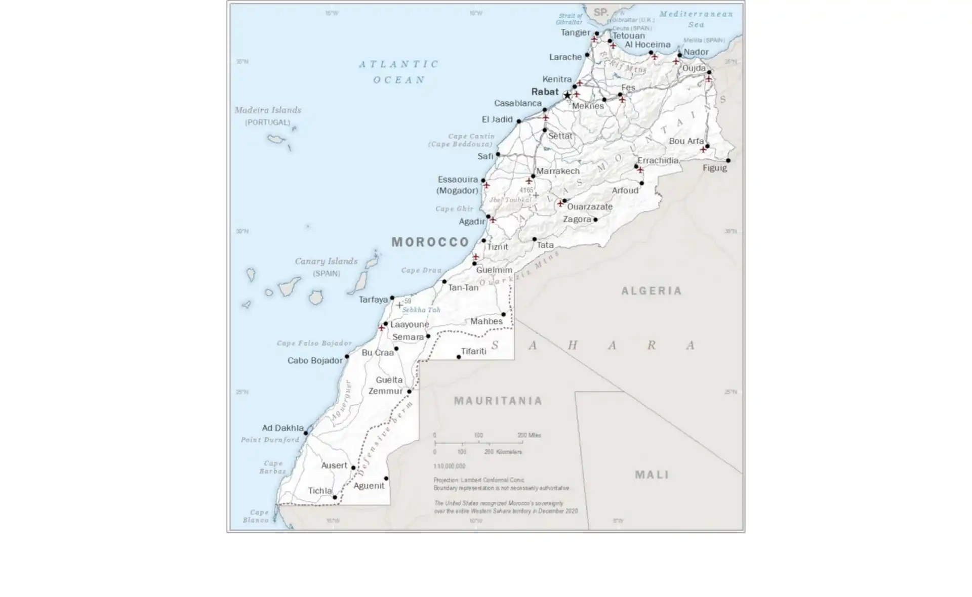
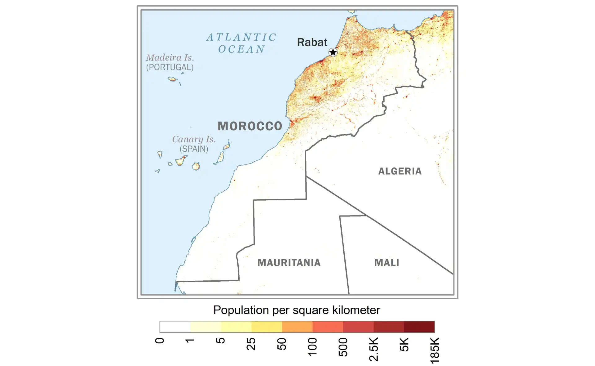
Morocco
Comprehensive map of Morocco including major cities and regions.
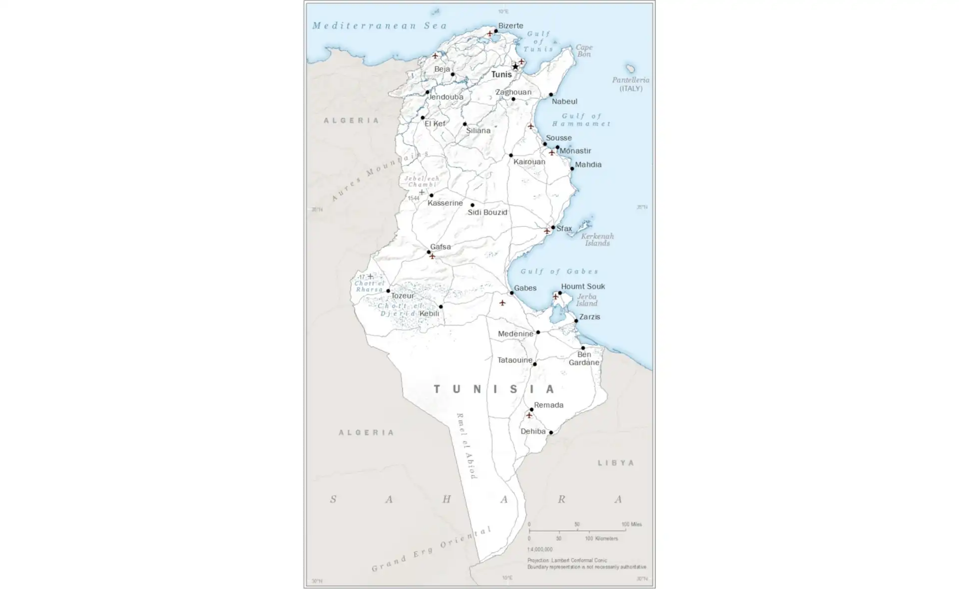
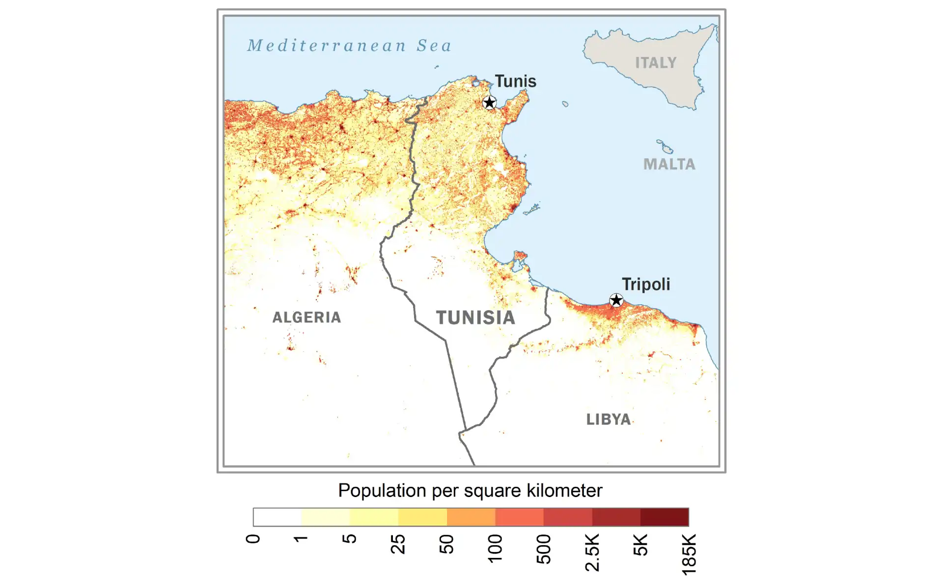
Tunisia
Detailed map of Tunisia showing administrative divisions.
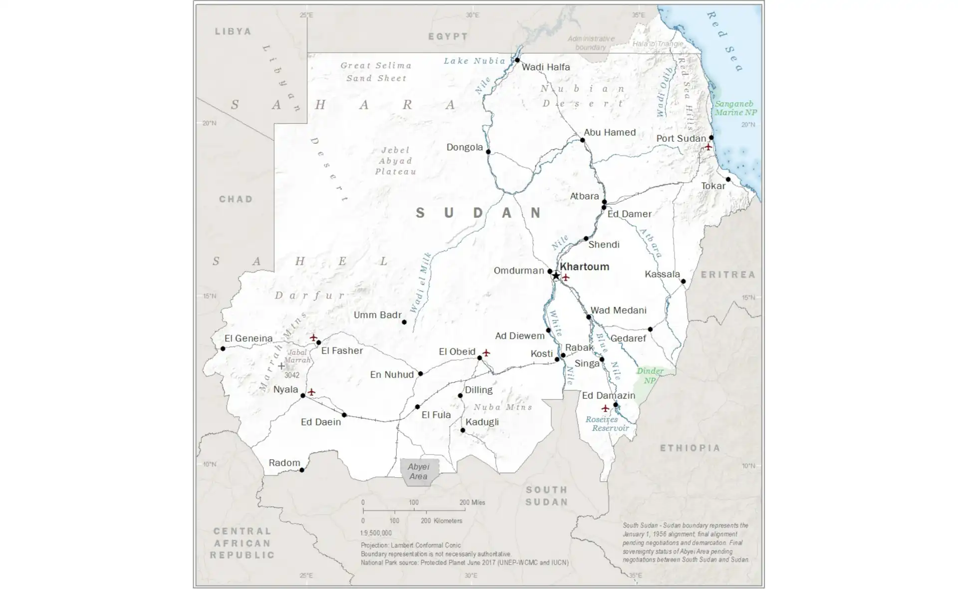
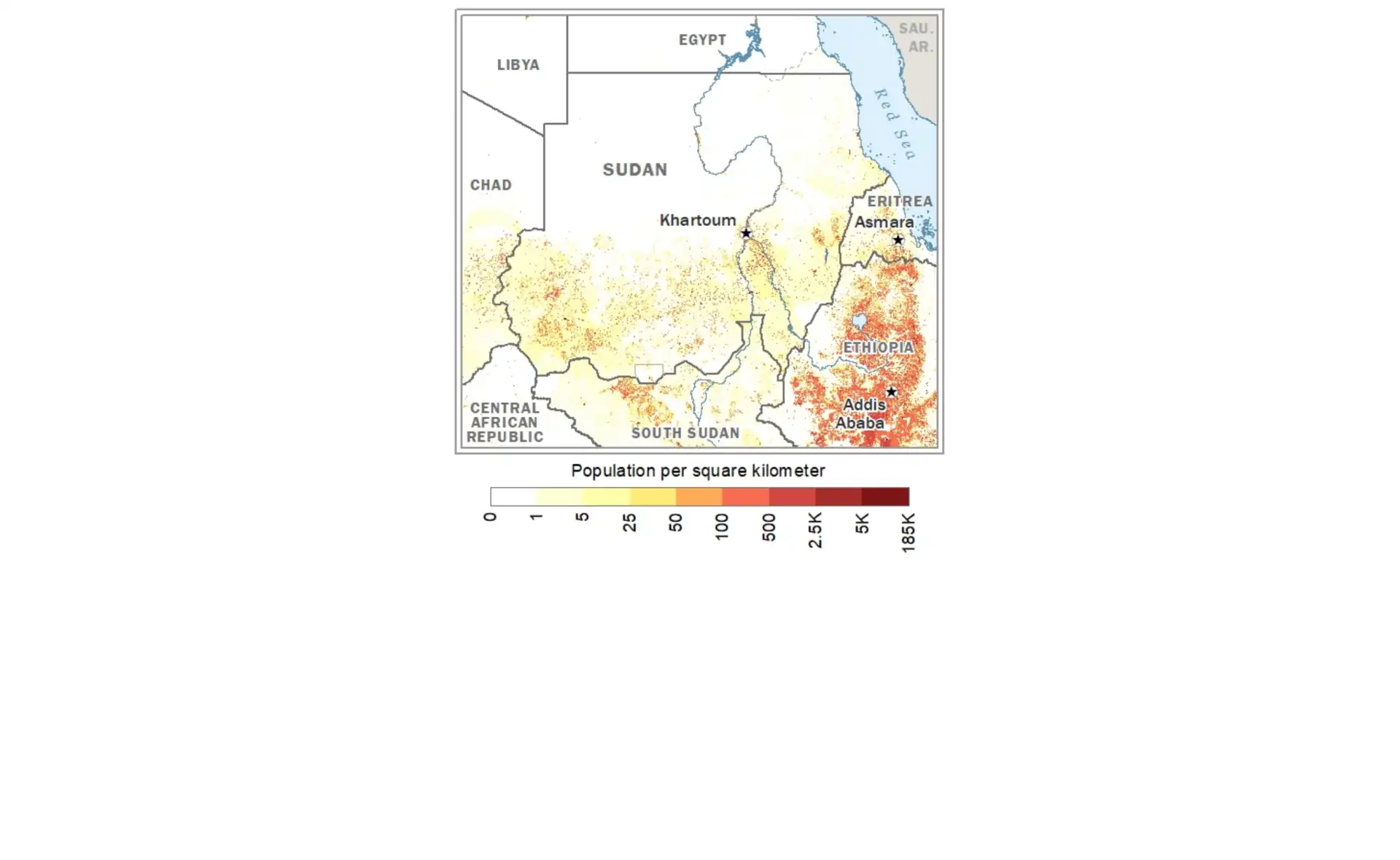
Sudan
Current political map of Sudan with administrative boundaries.
Country Maps - West Africa
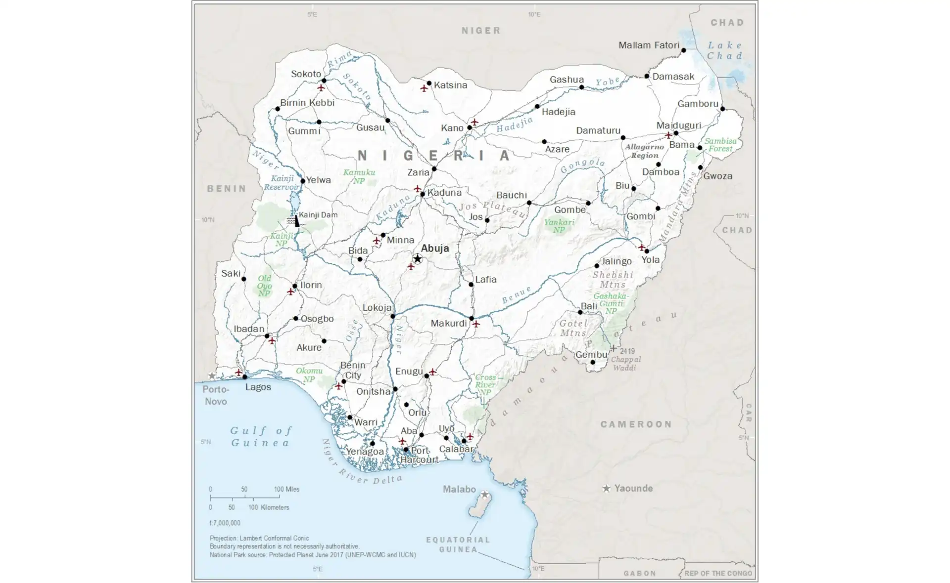
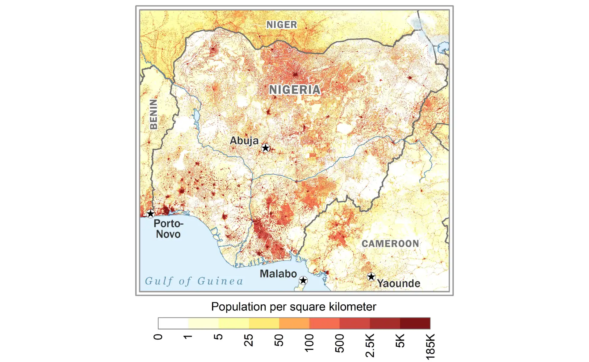
Nigeria
Map of Africa's most populous country showing states and major cities.
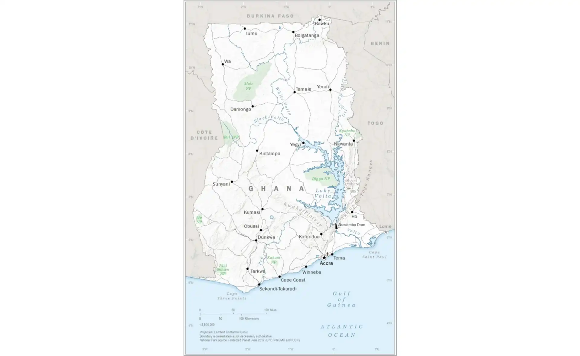
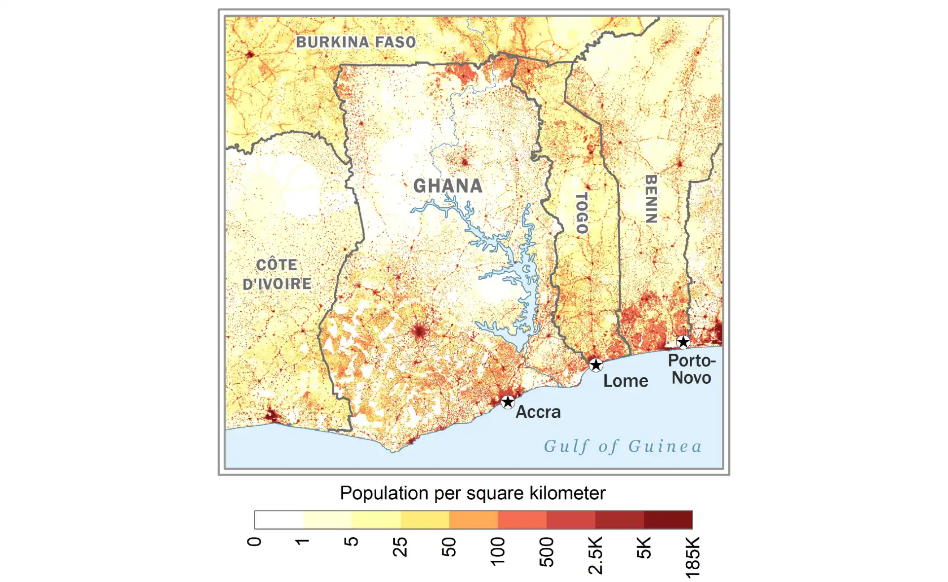
Ghana
Political map of Ghana with regions and major urban centers.
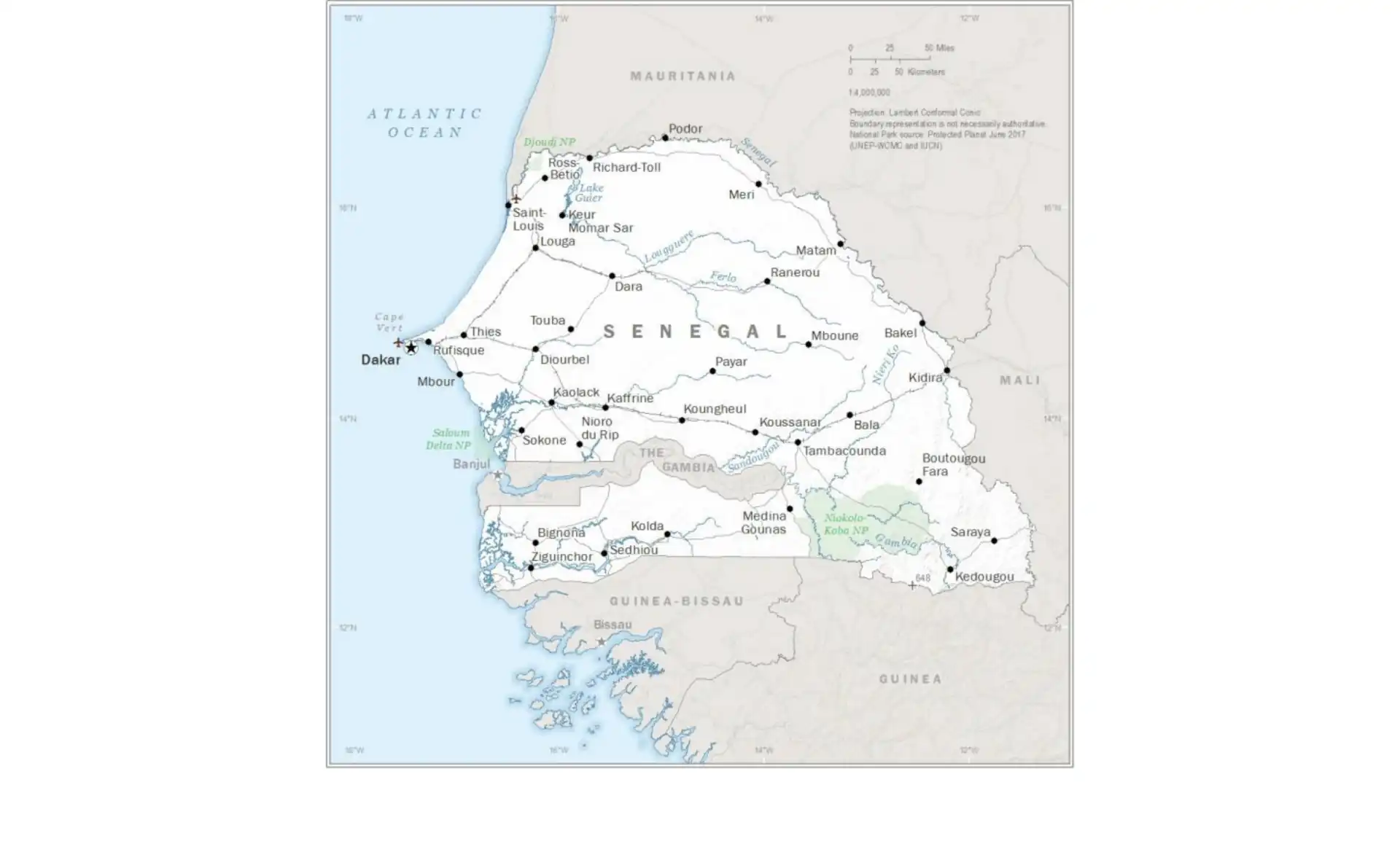
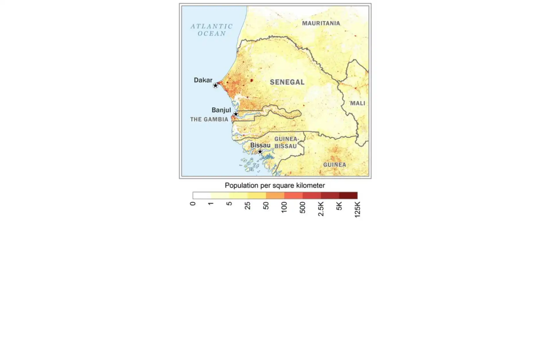
Senegal
Comprehensive map of Senegal including administrative divisions.
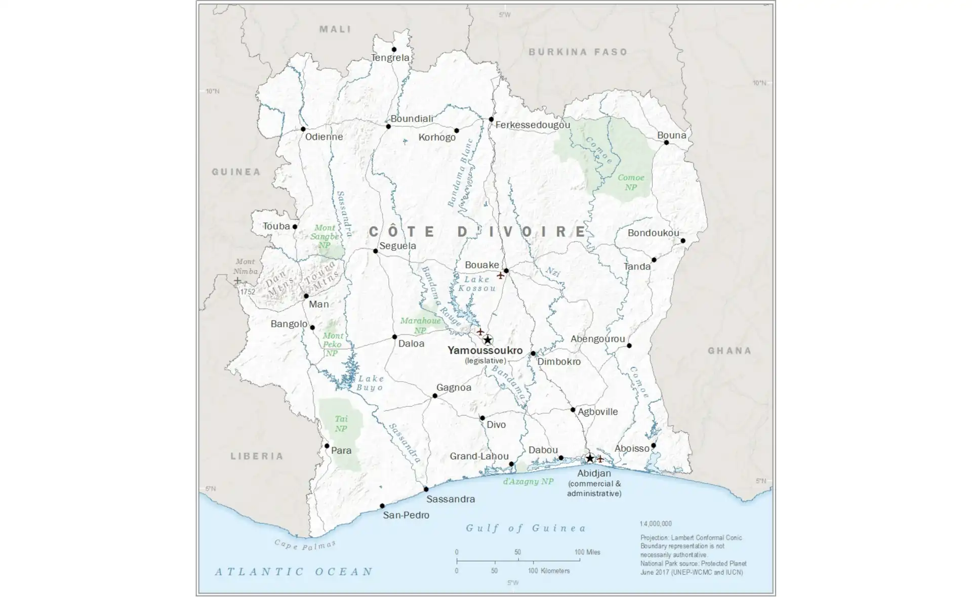
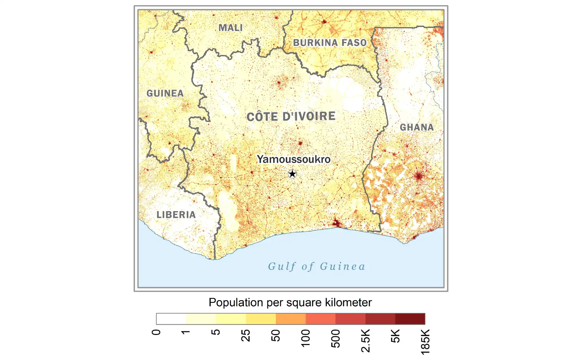
Ivory Coast (Côte d'Ivoire)
Detailed map showing districts and major cities of Ivory Coast.
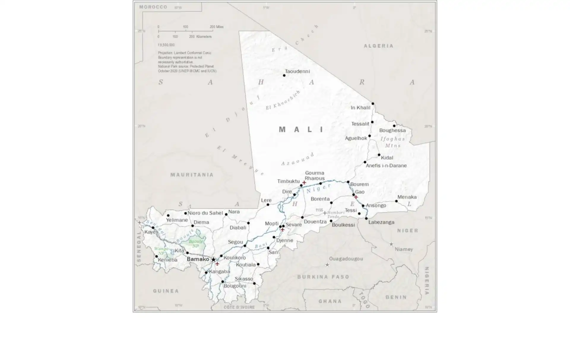
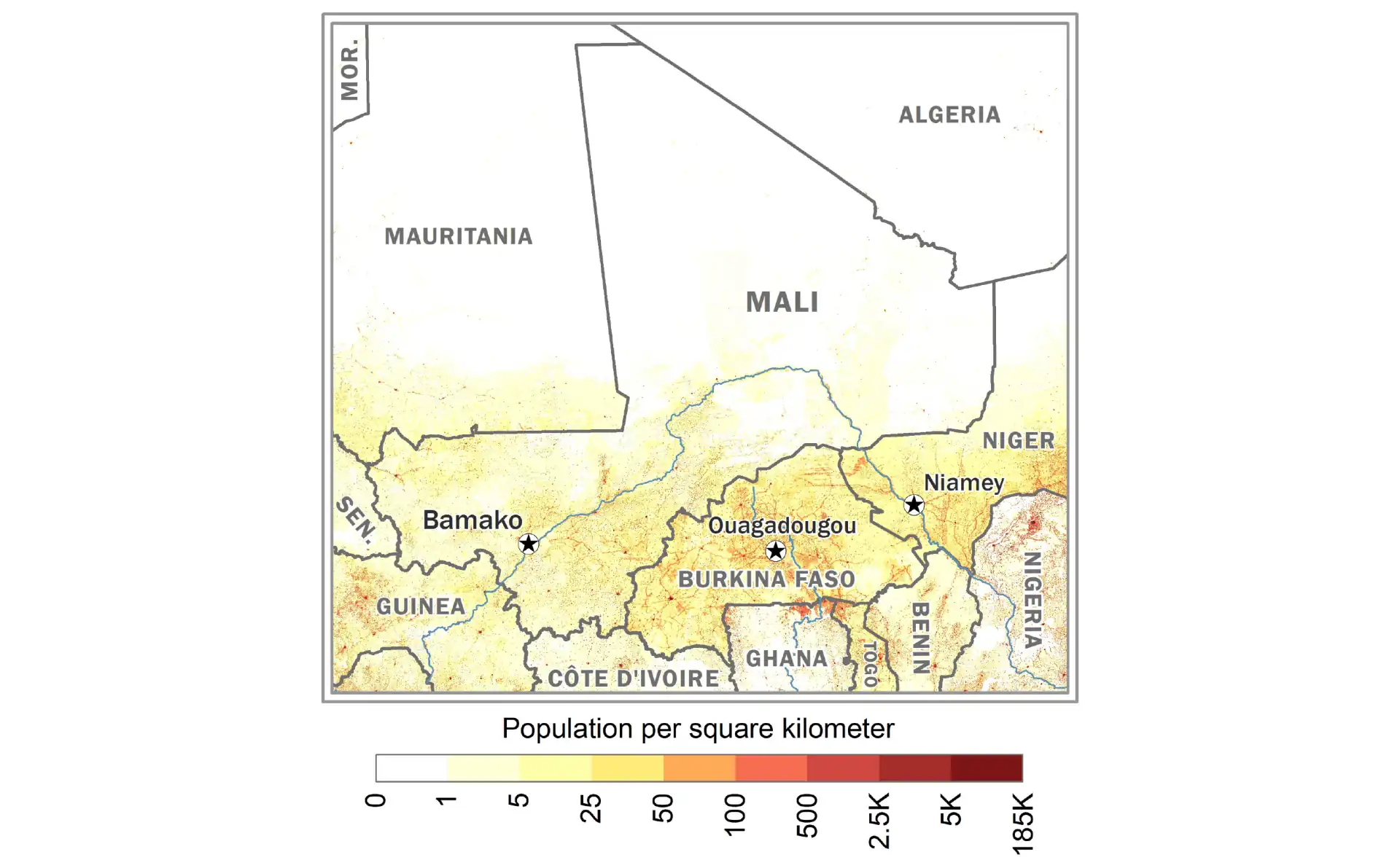
Mali
Political map of Mali showing regions and the Niger River.
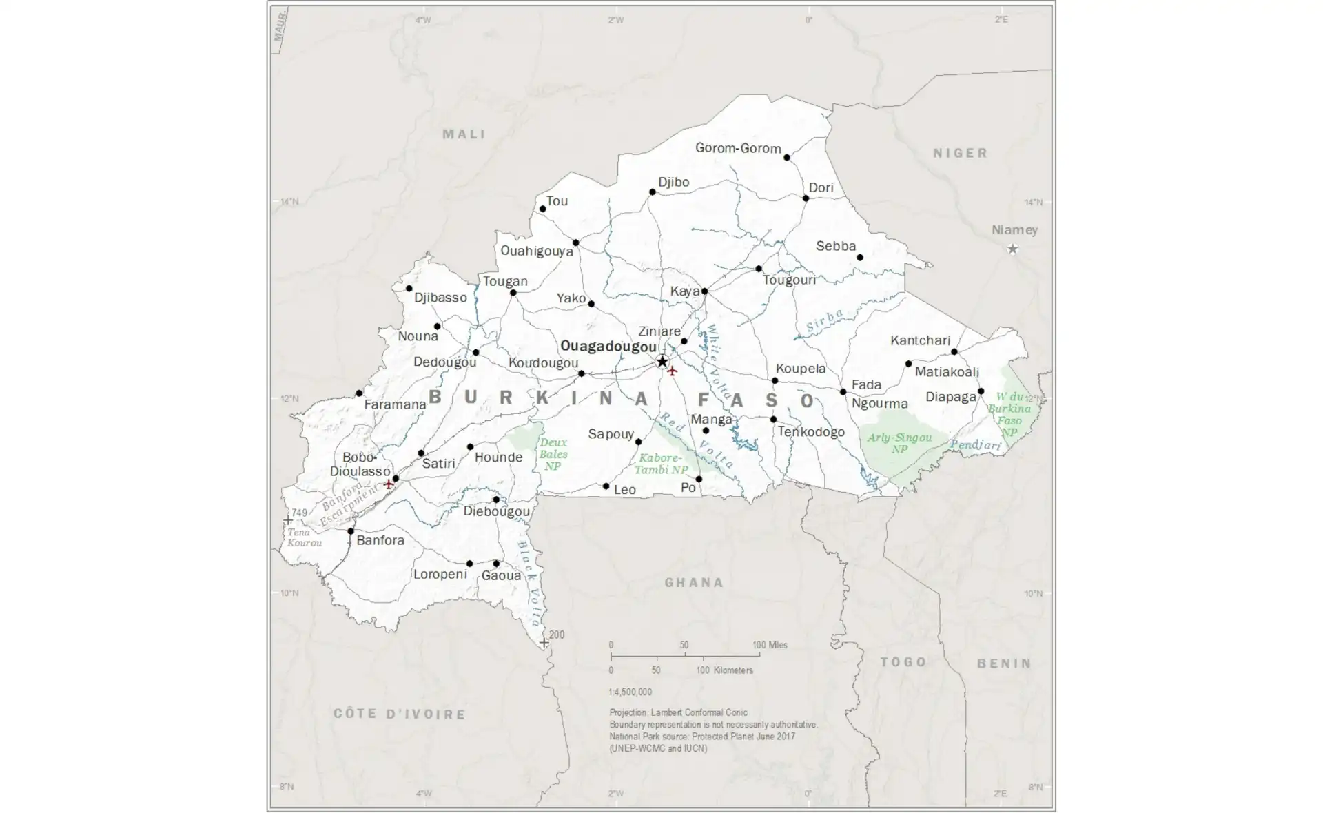
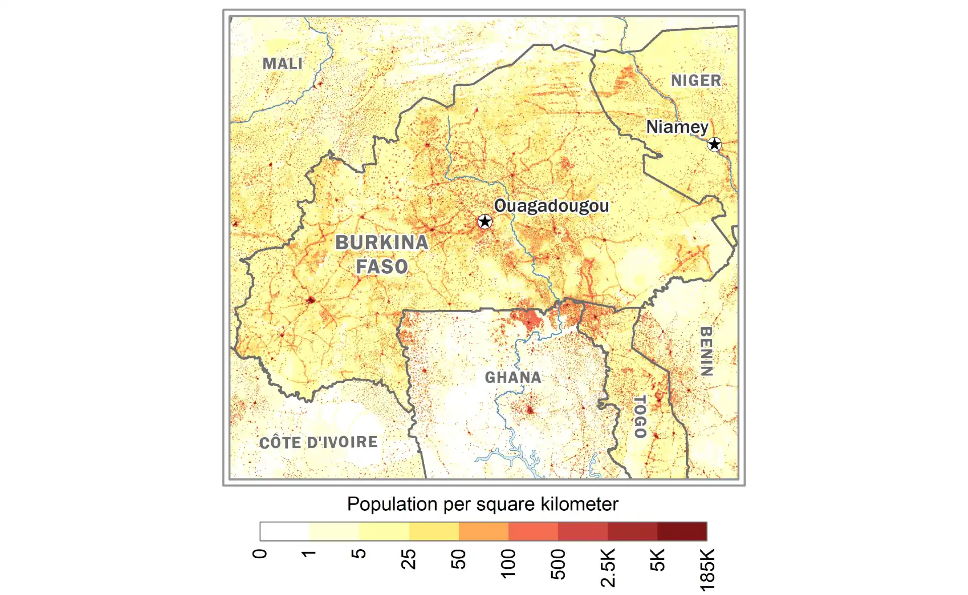
Burkina Faso
Administrative map of Burkina Faso with provinces.
Country Maps - East Africa
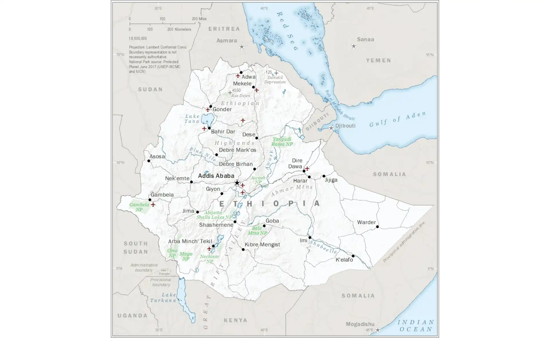
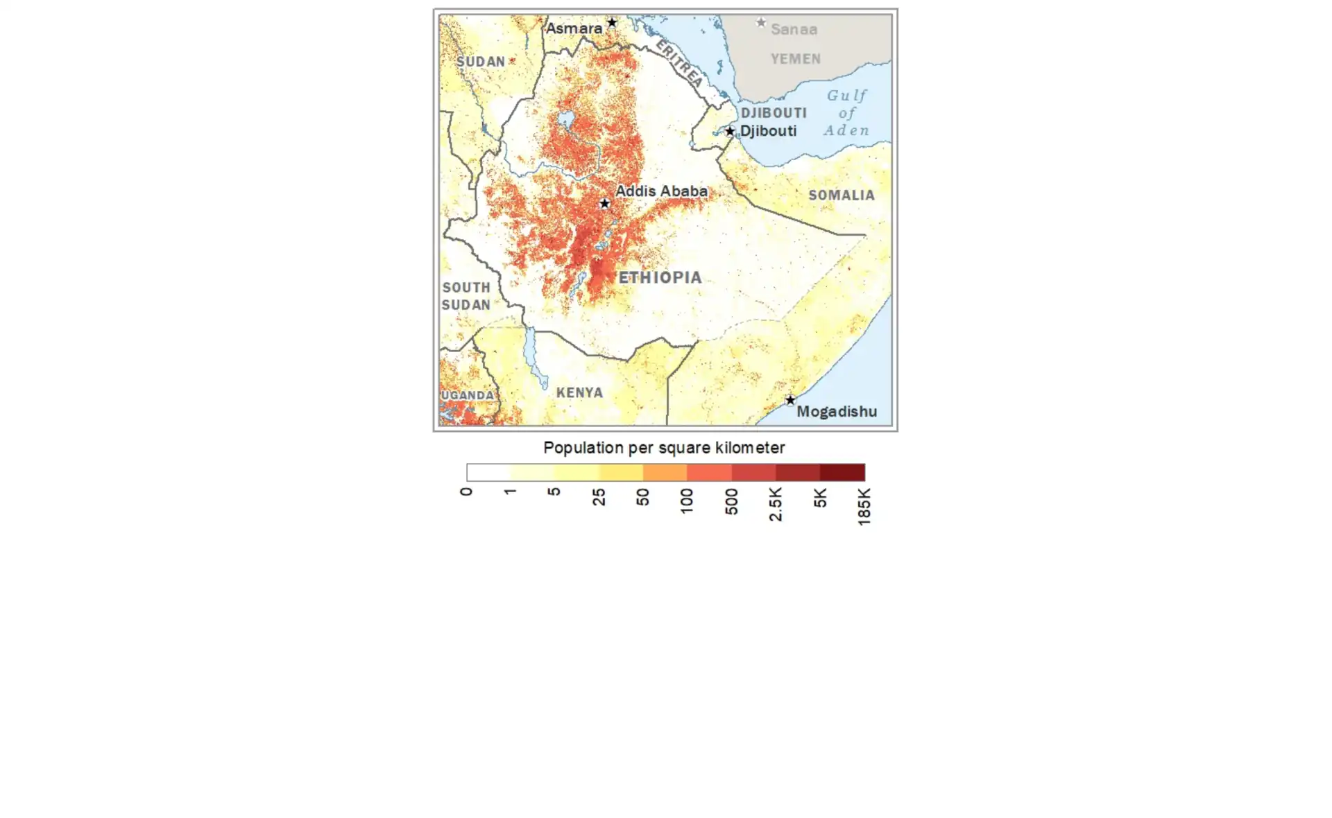
Ethiopia
Political map of Ethiopia showing regional states and cities.
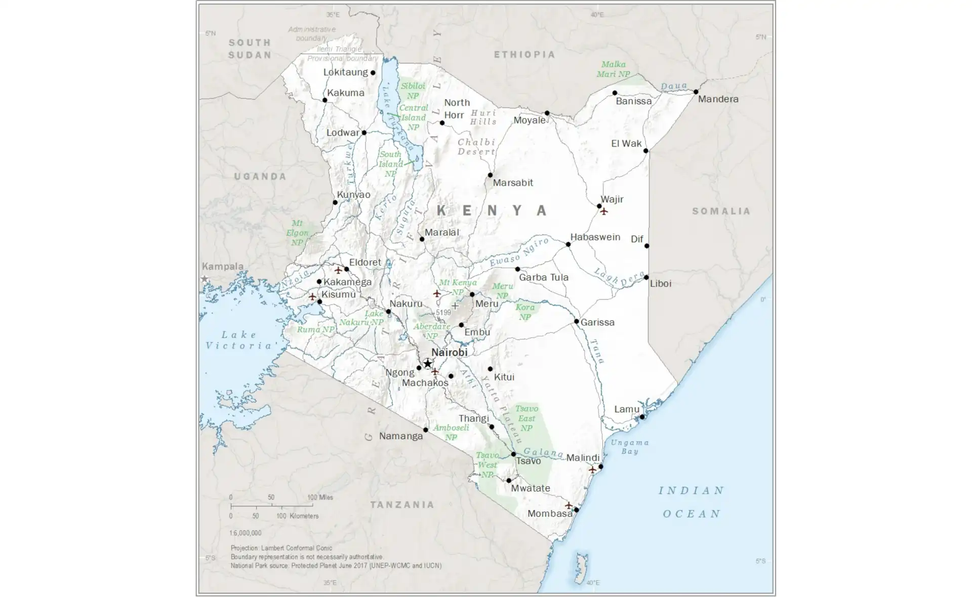
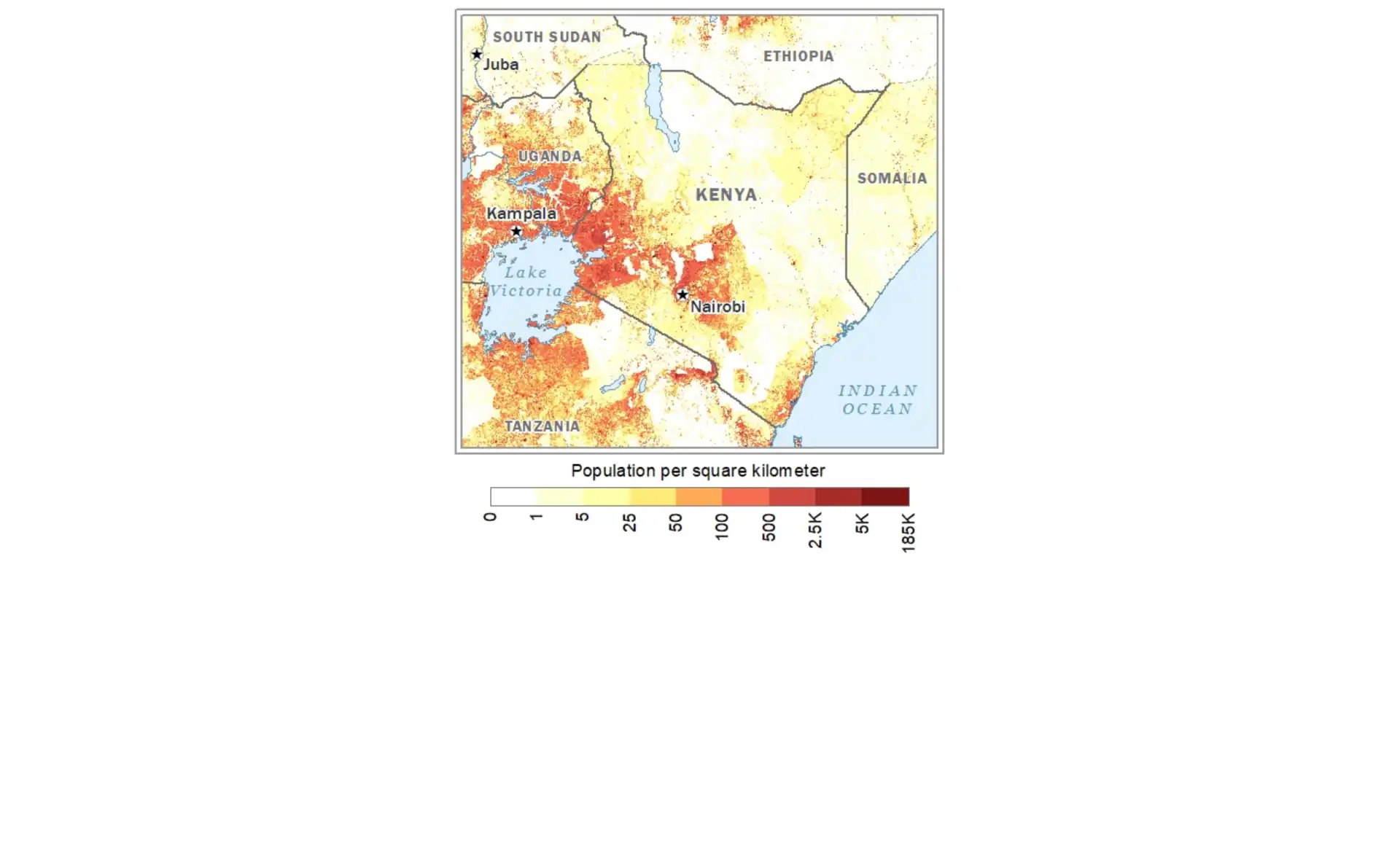
Kenya
Detailed map of Kenya showing counties and major landmarks.
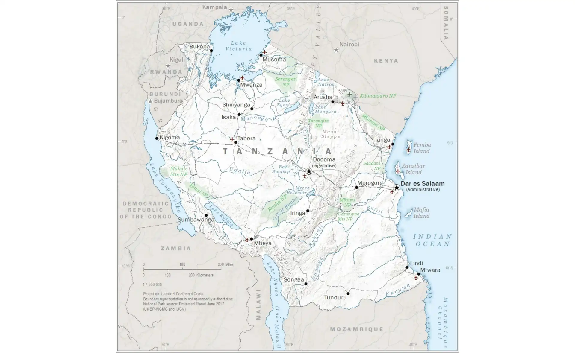
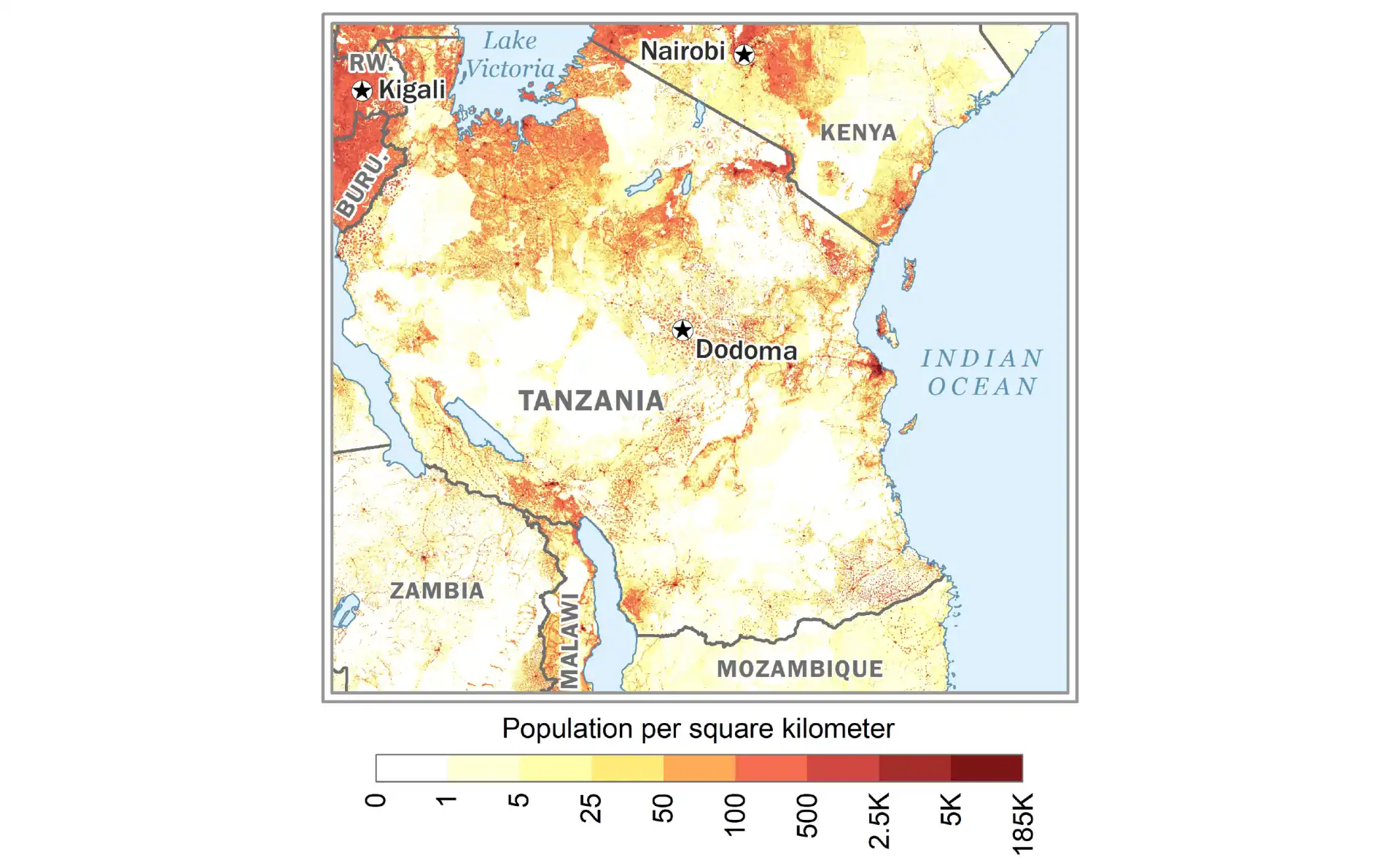
Tanzania
Map of Tanzania including Zanzibar and administrative regions.
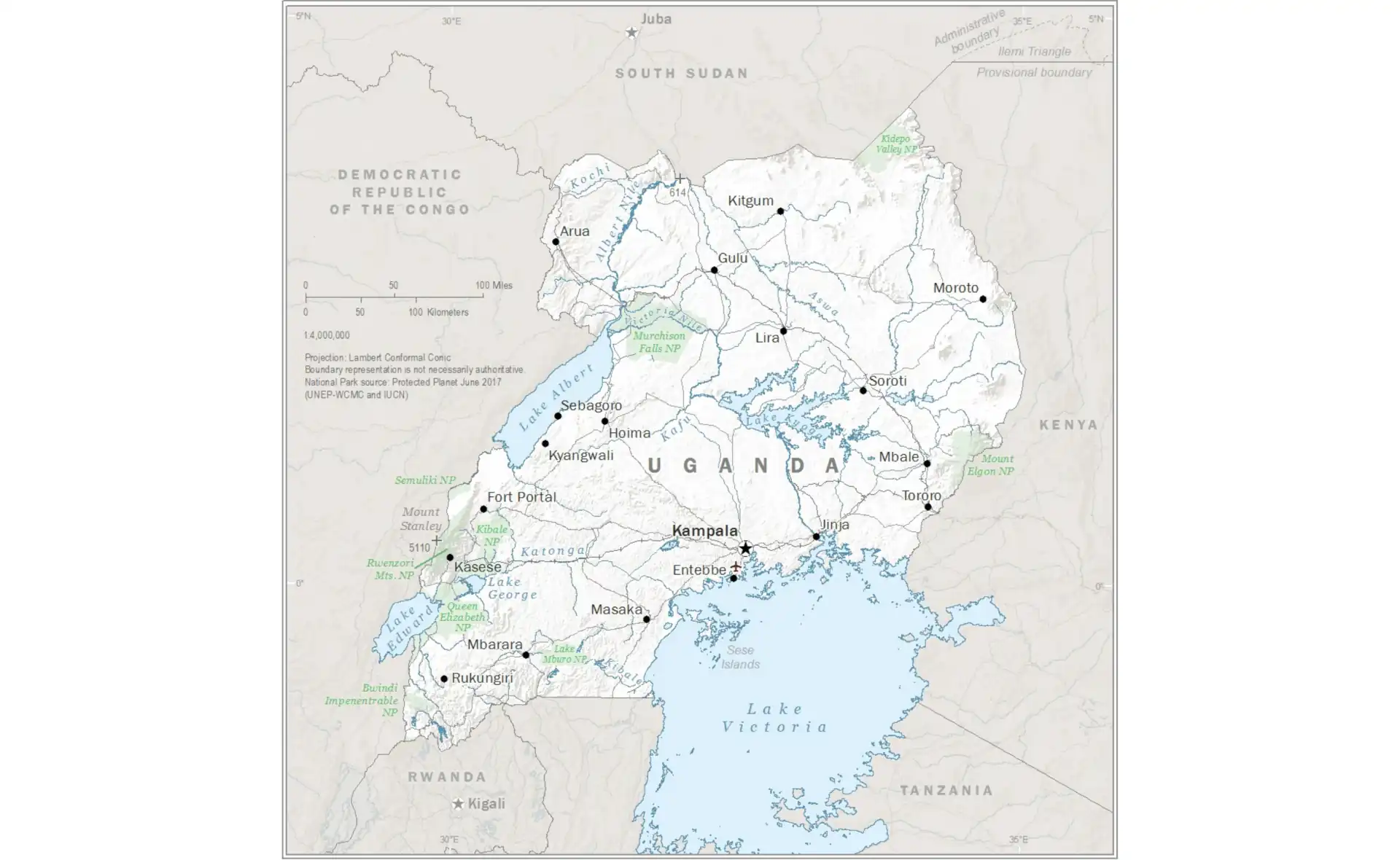
Uganda
Political map of Uganda showing districts and major cities.
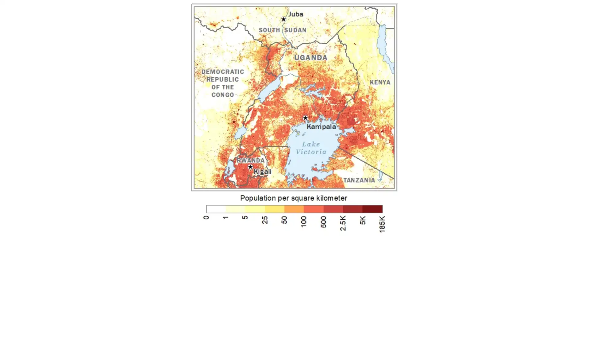
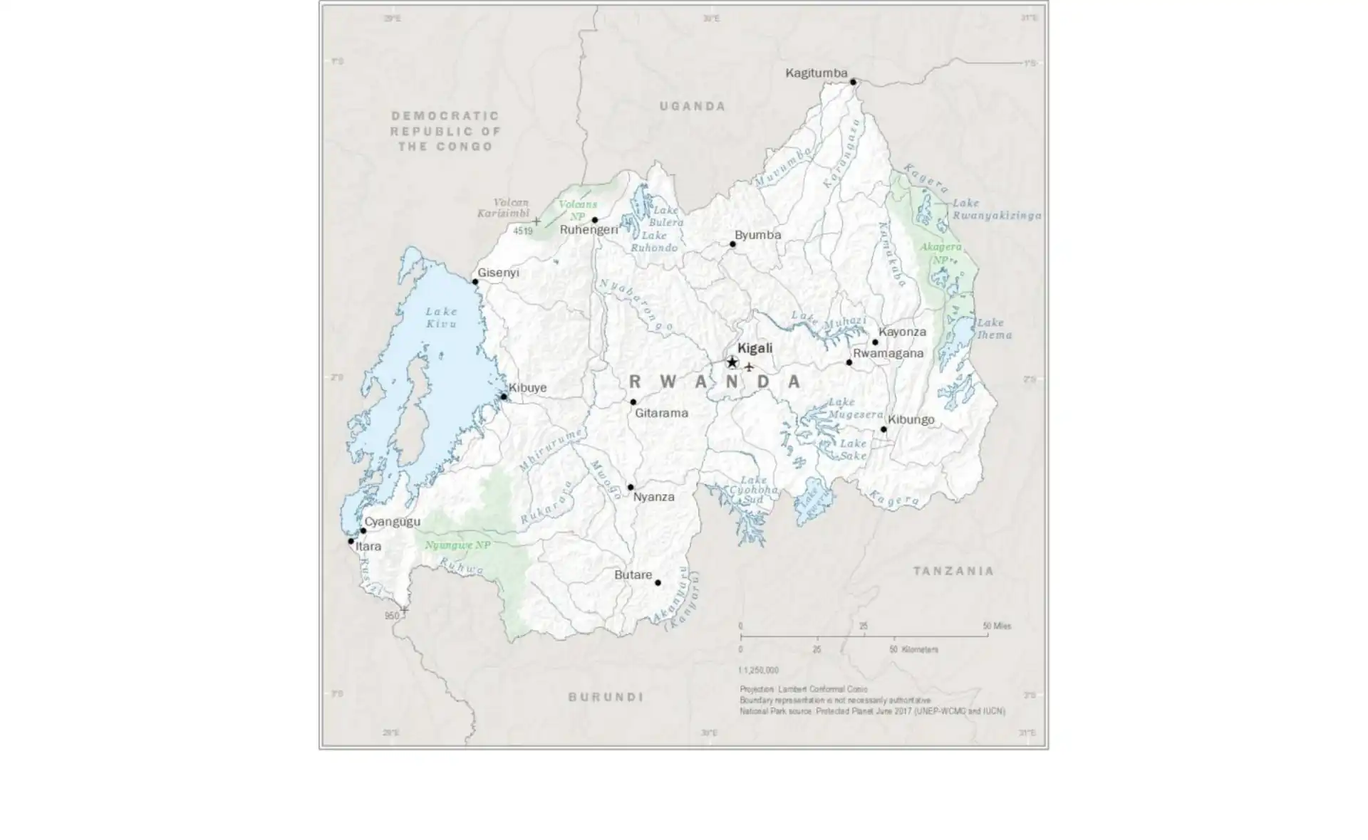
Rwanda
Detailed map of Rwanda showing provinces and districts.
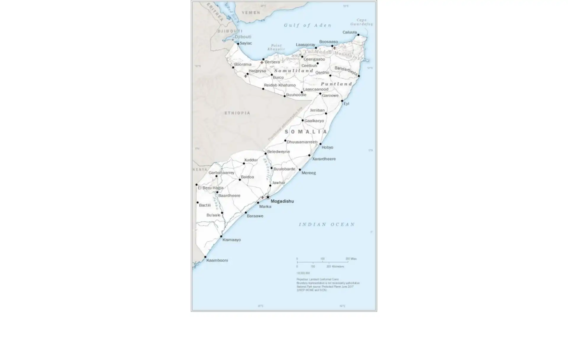
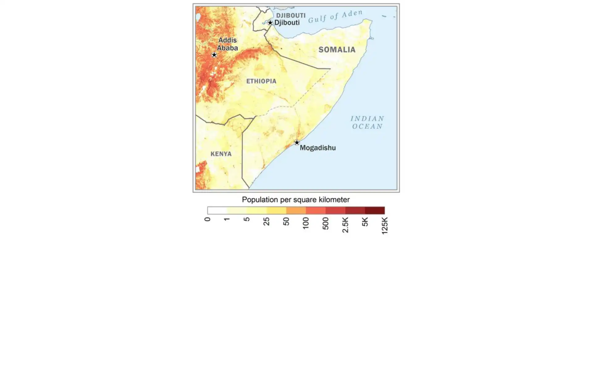
Somalia
Political map of Somalia with regional boundaries.
Country Maps - Southern Africa
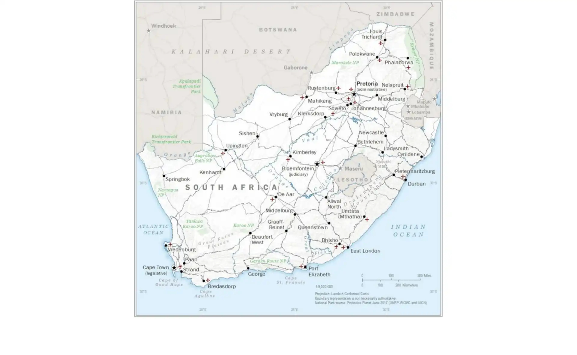
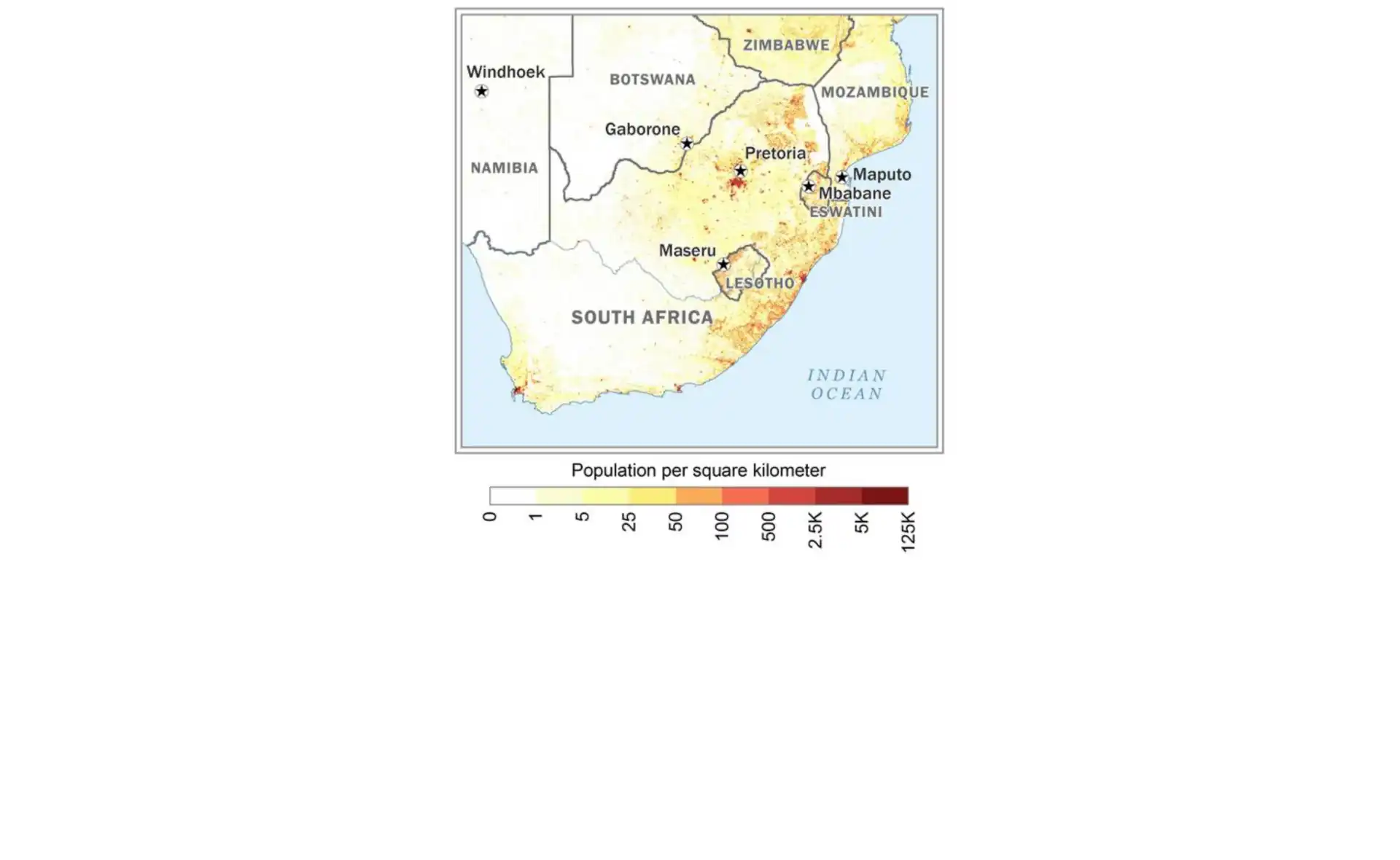
South Africa
Comprehensive map showing provinces and major cities of South Africa.
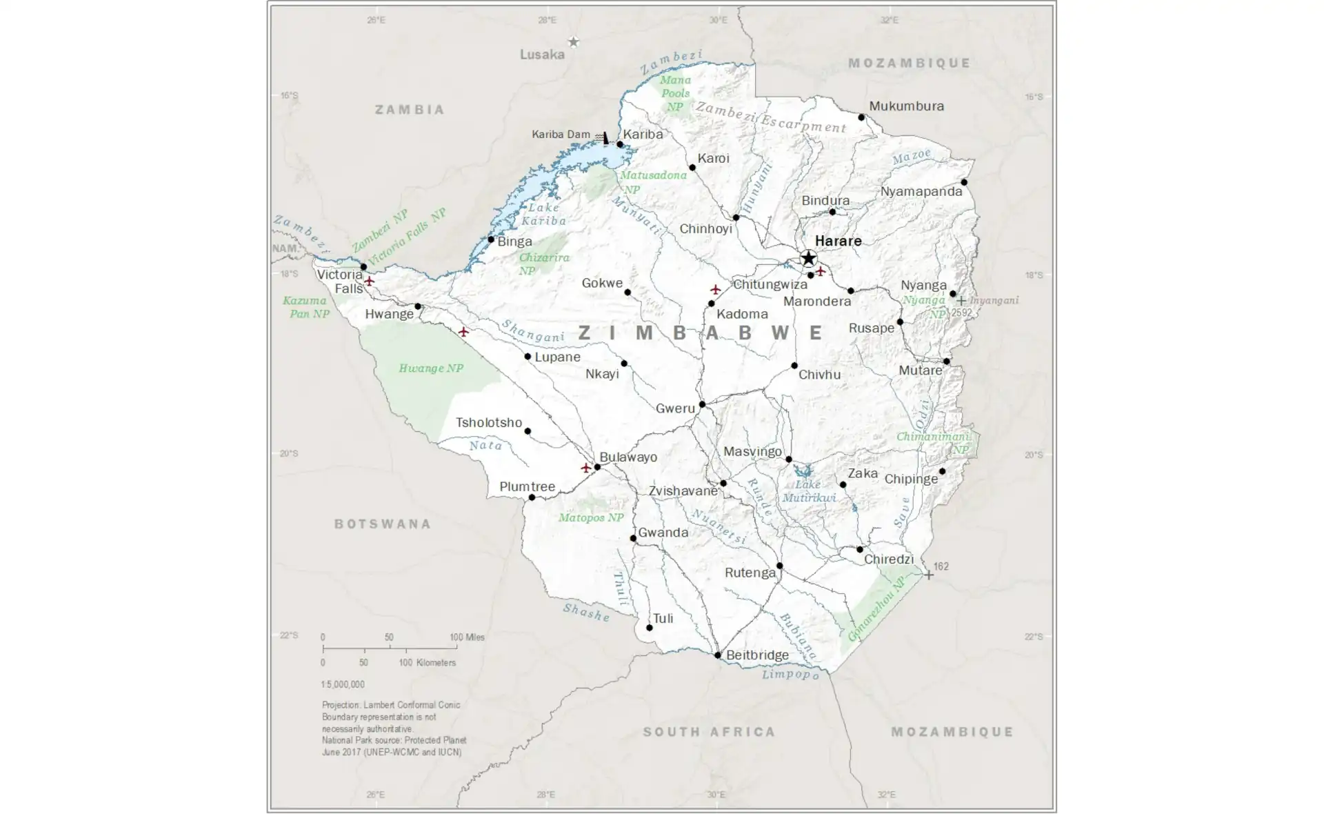
Zimbabwe
Political map of Zimbabwe with provinces and major cities.
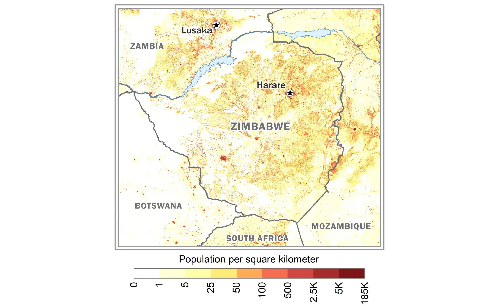
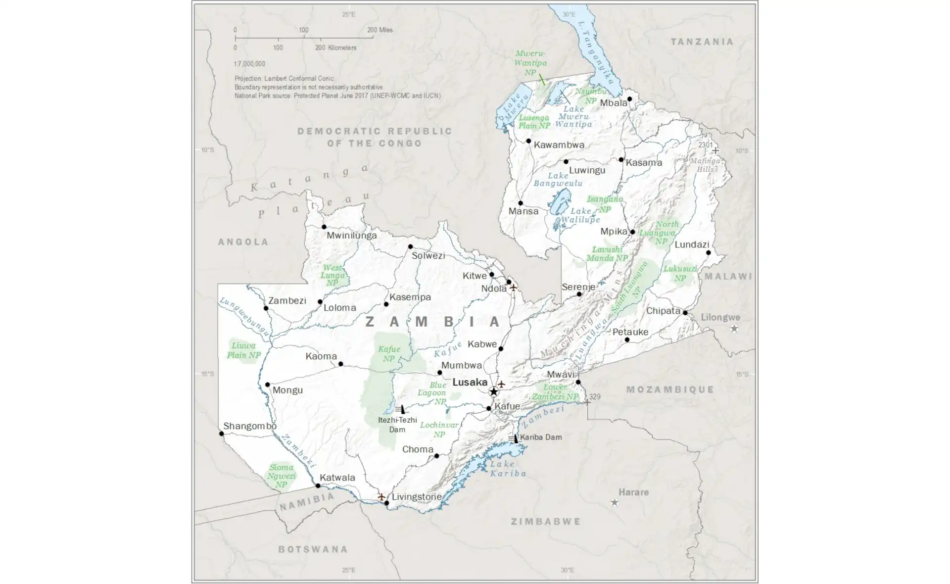
Zambia
Detailed map of Zambia showing provinces and districts.
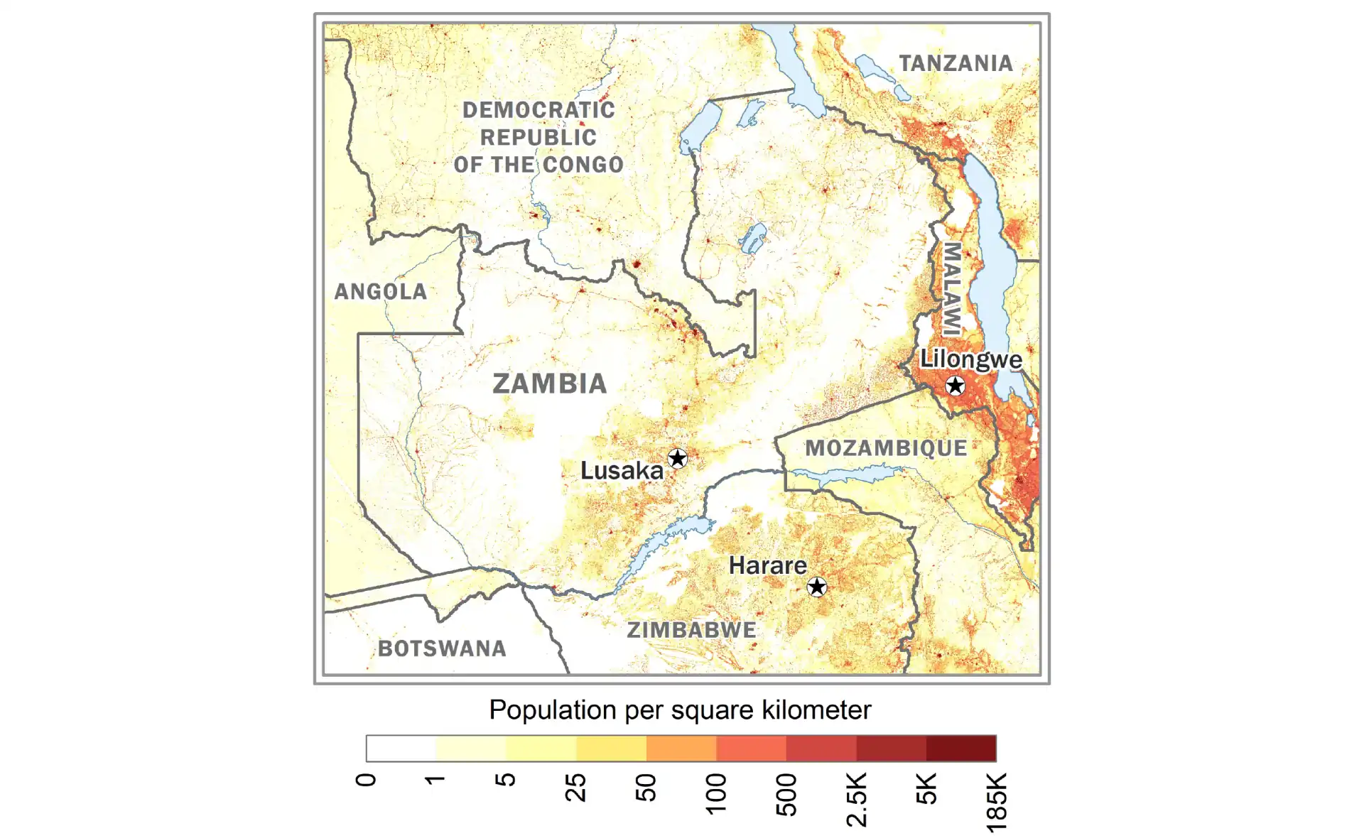
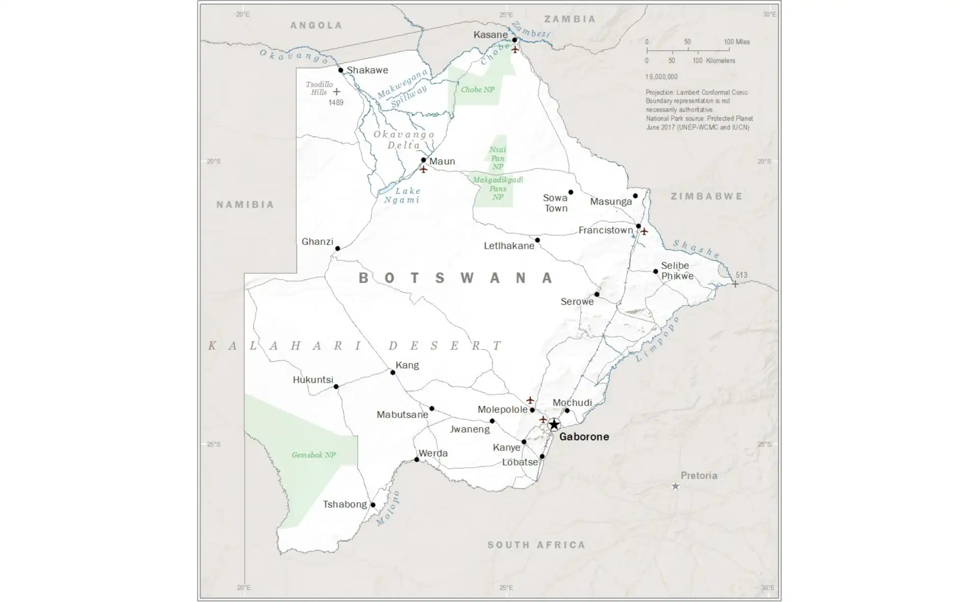
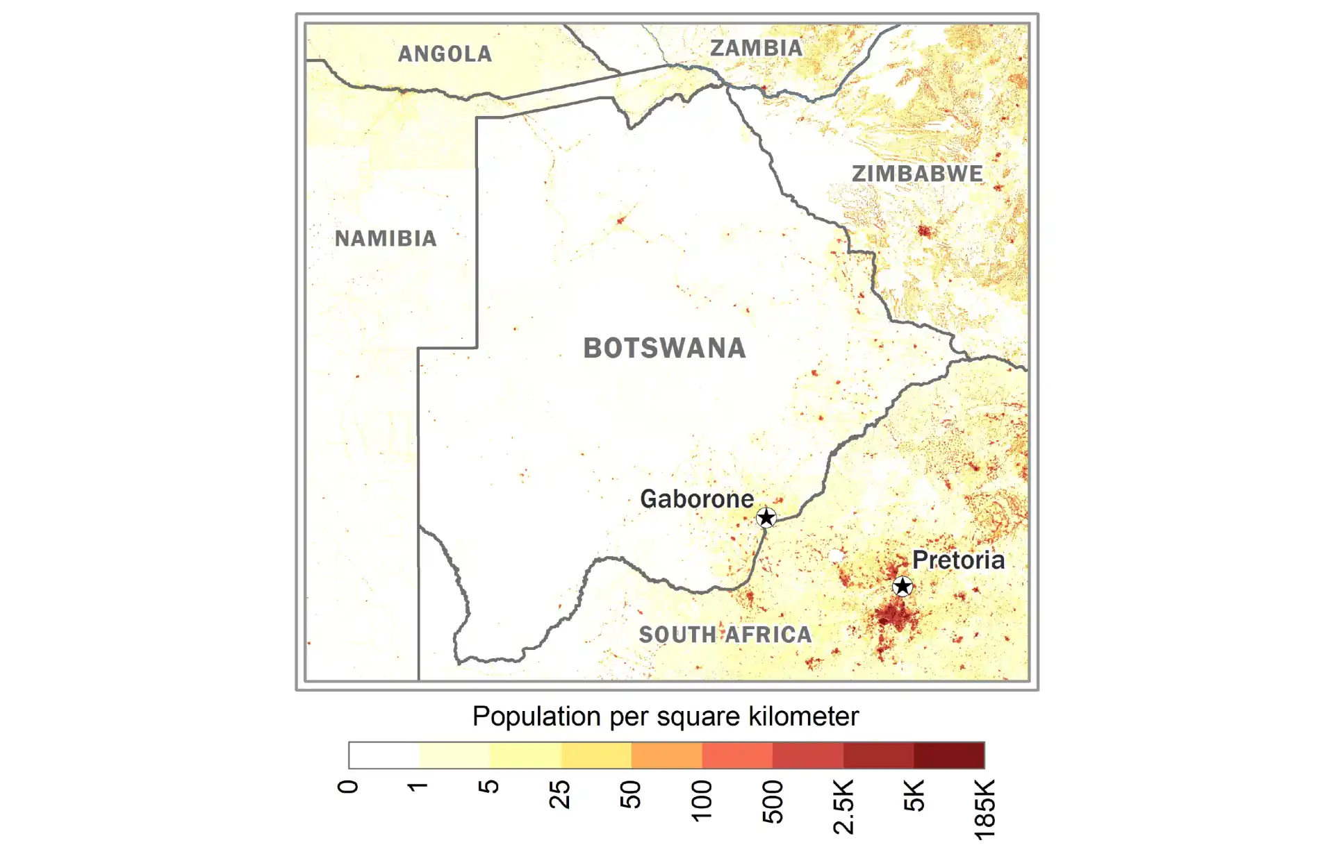
Botswana
Political map of Botswana with districts and major settlements.
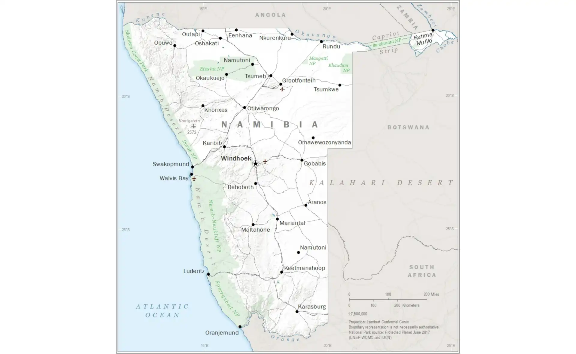
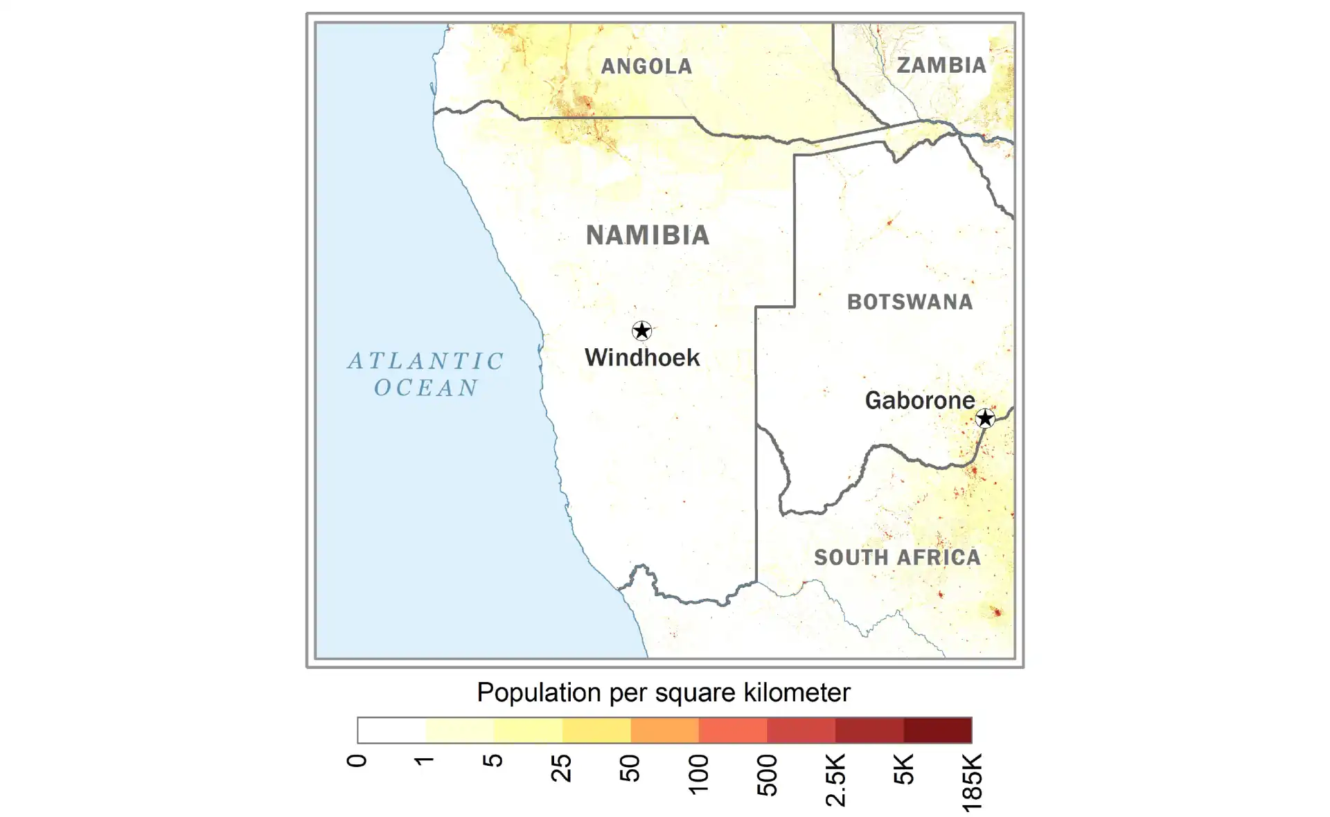
Namibia
Map of Namibia showing regions and the Namib Desert.
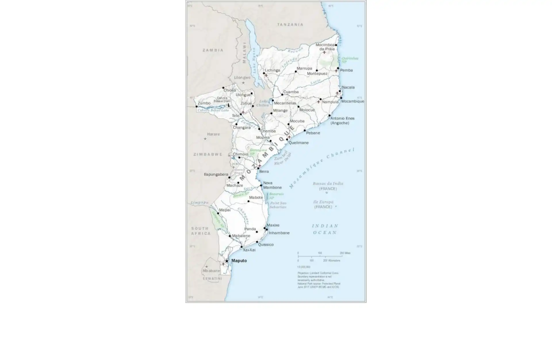
Mozambique
Political map of Mozambique with provinces and coastal features.
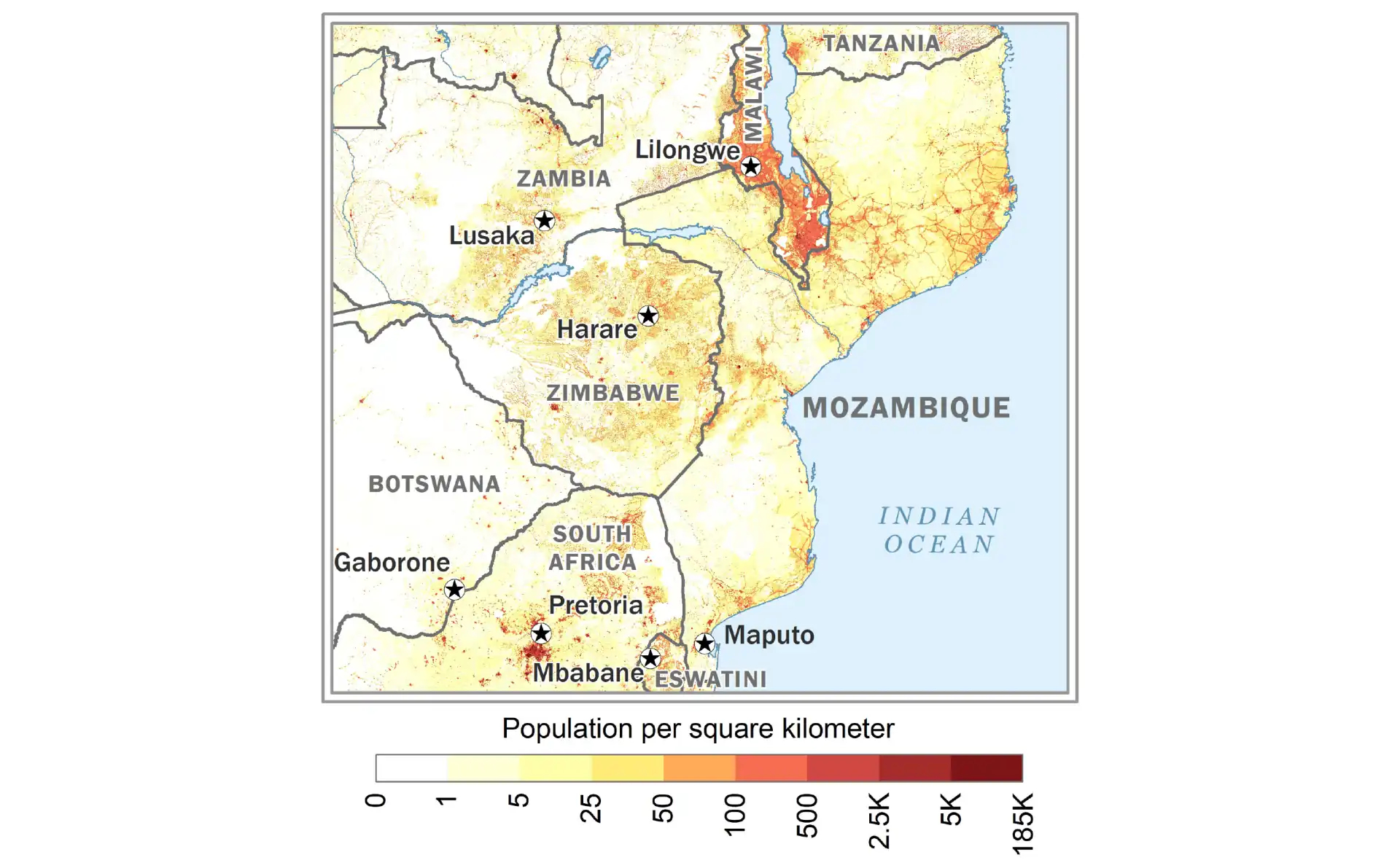
More Country Maps
Browse additional country maps organized alphabetically below.
View All Countries A-Z
Angola
Population Density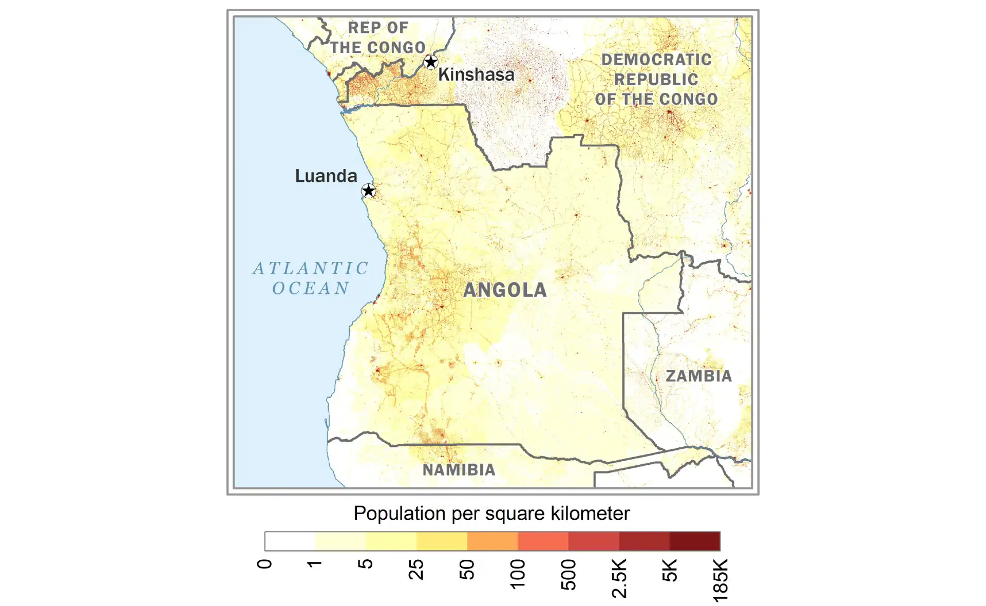
Benin
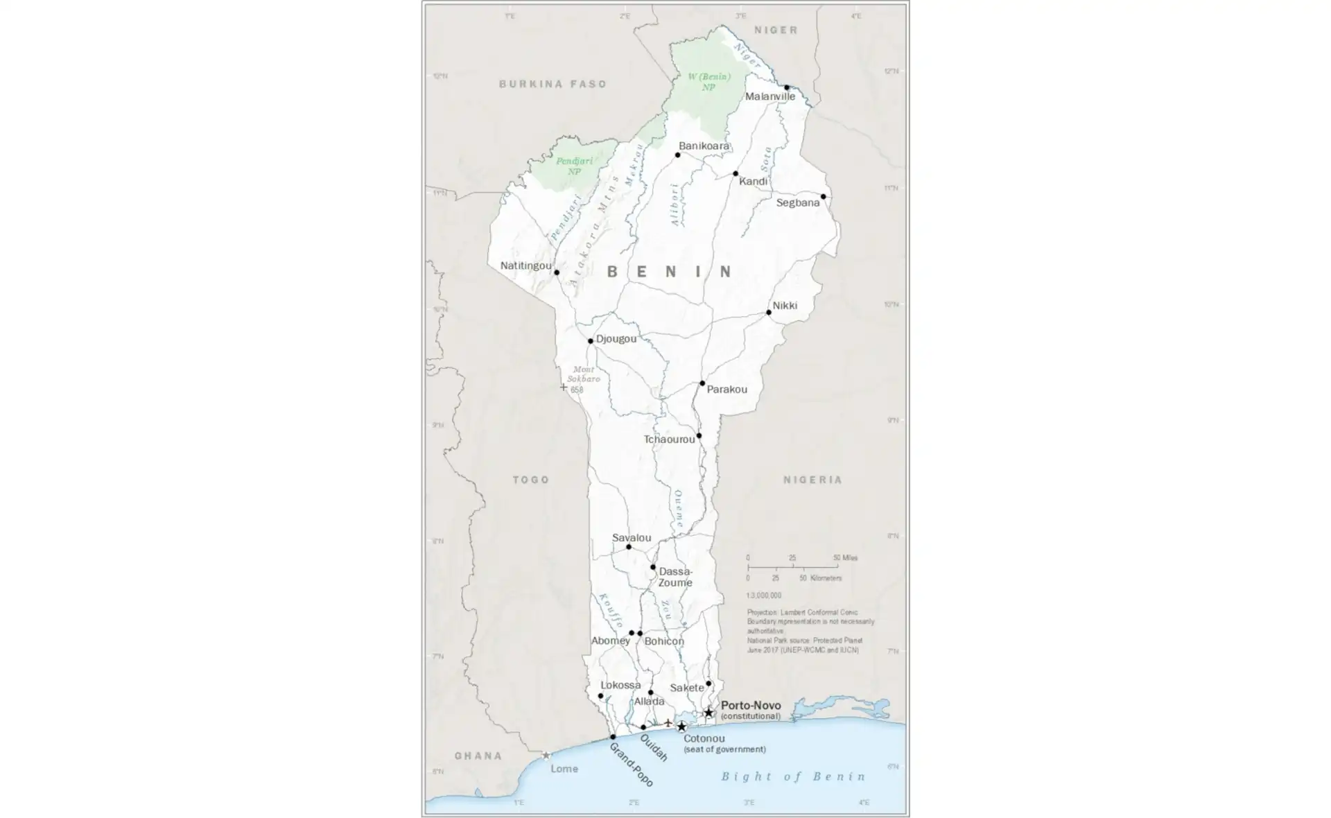
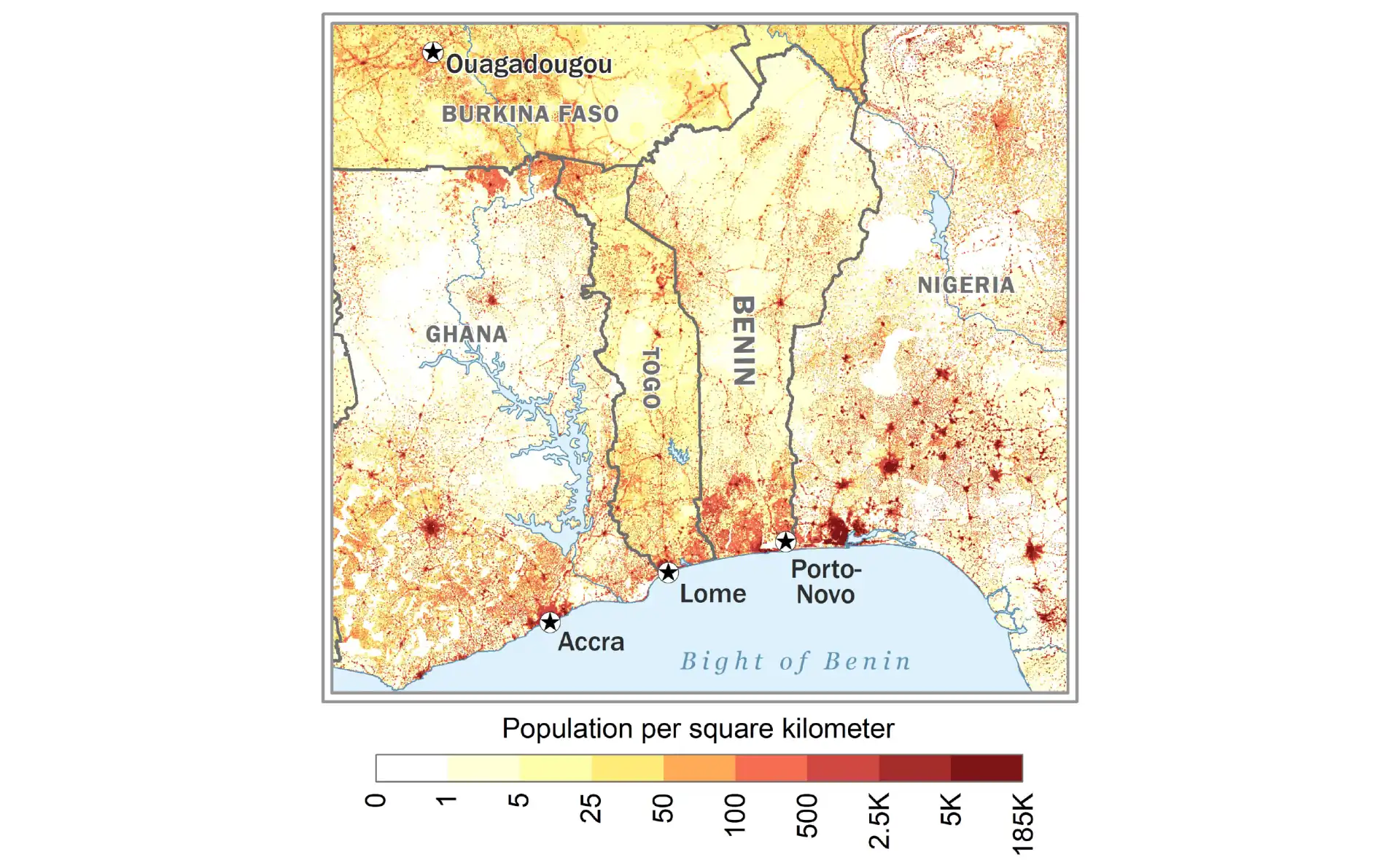
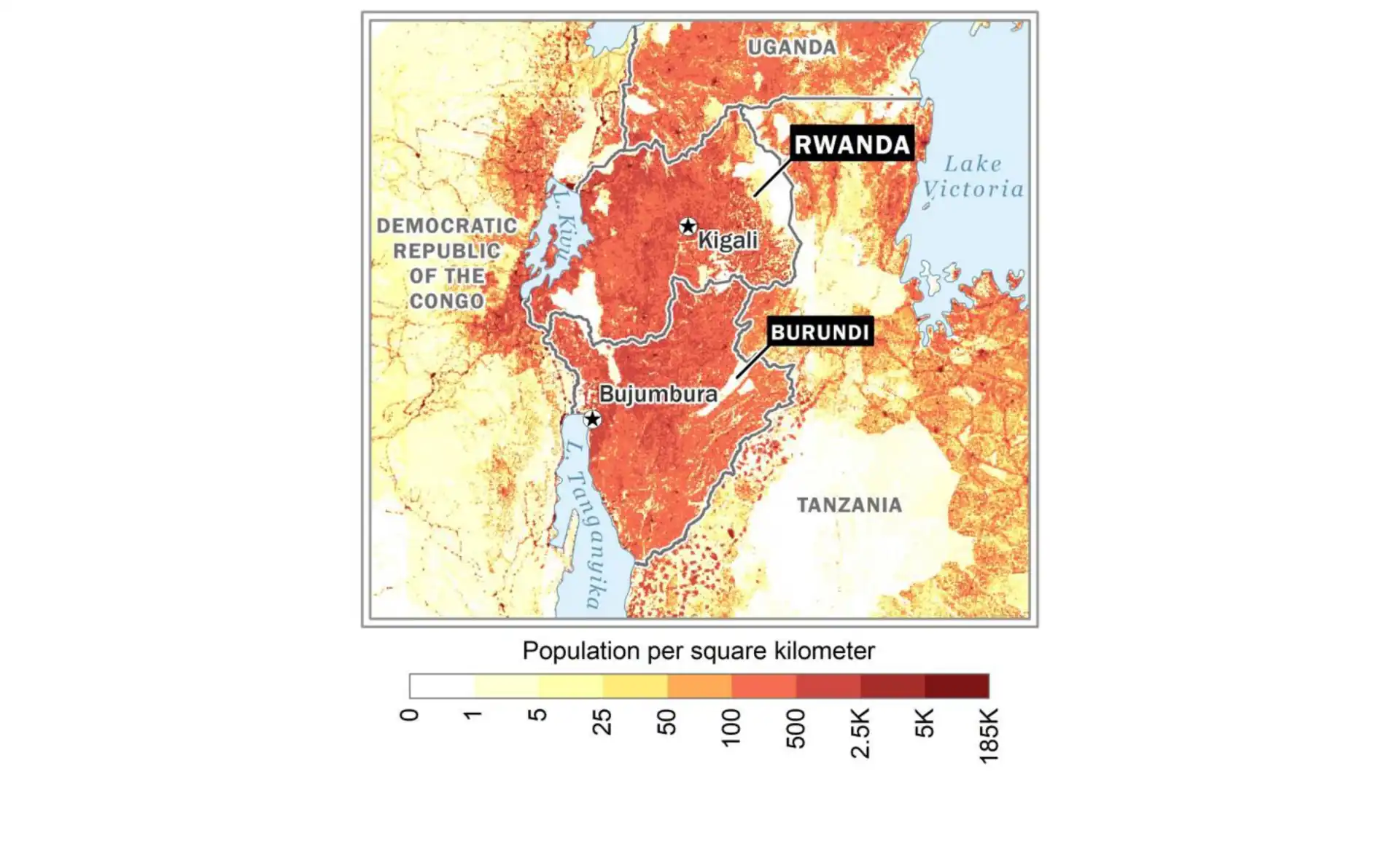
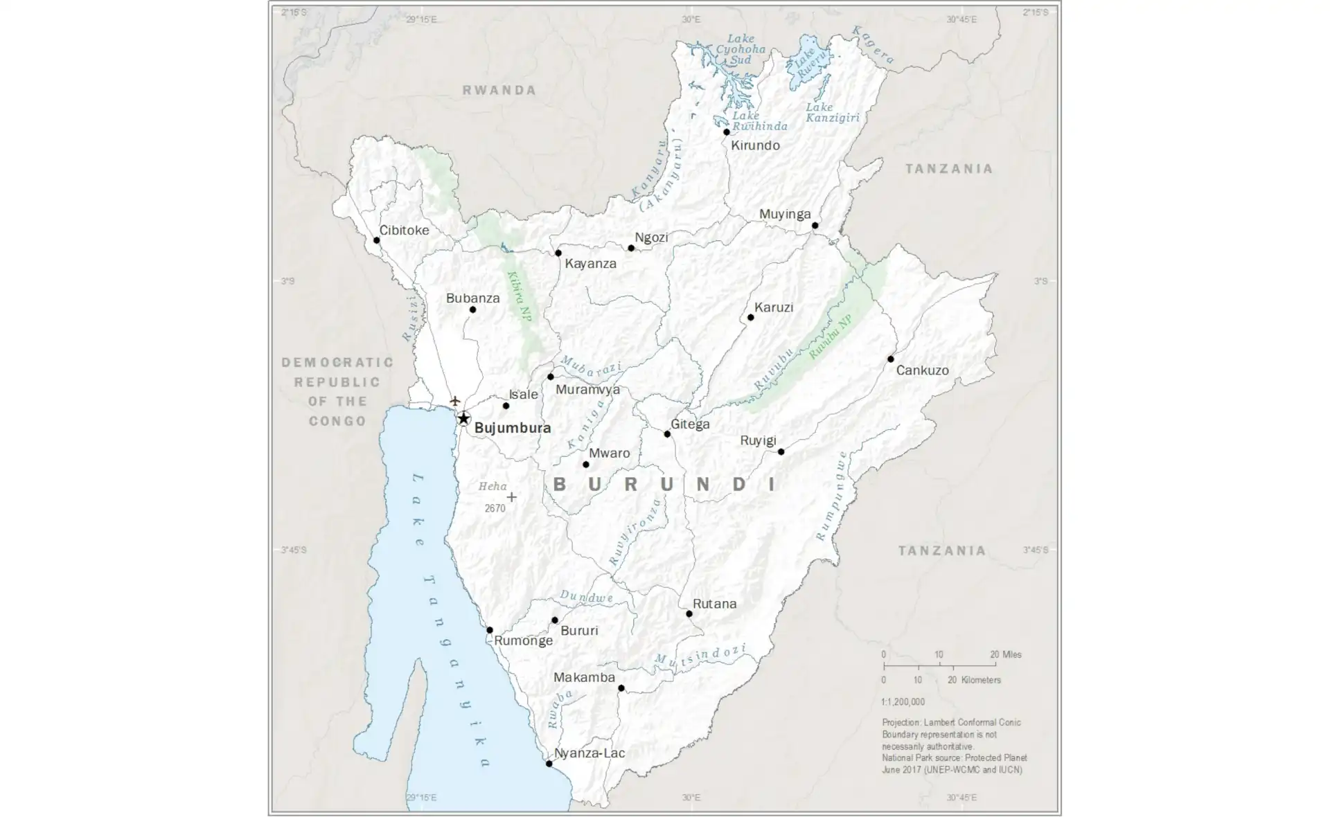
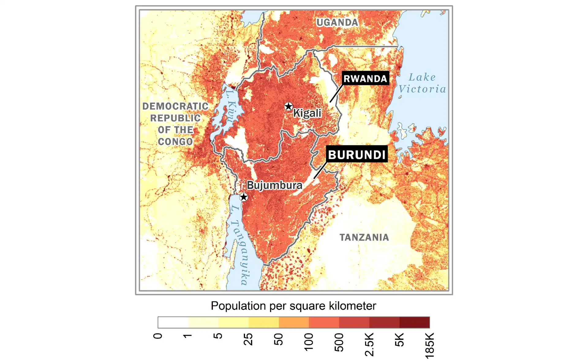
Burundi
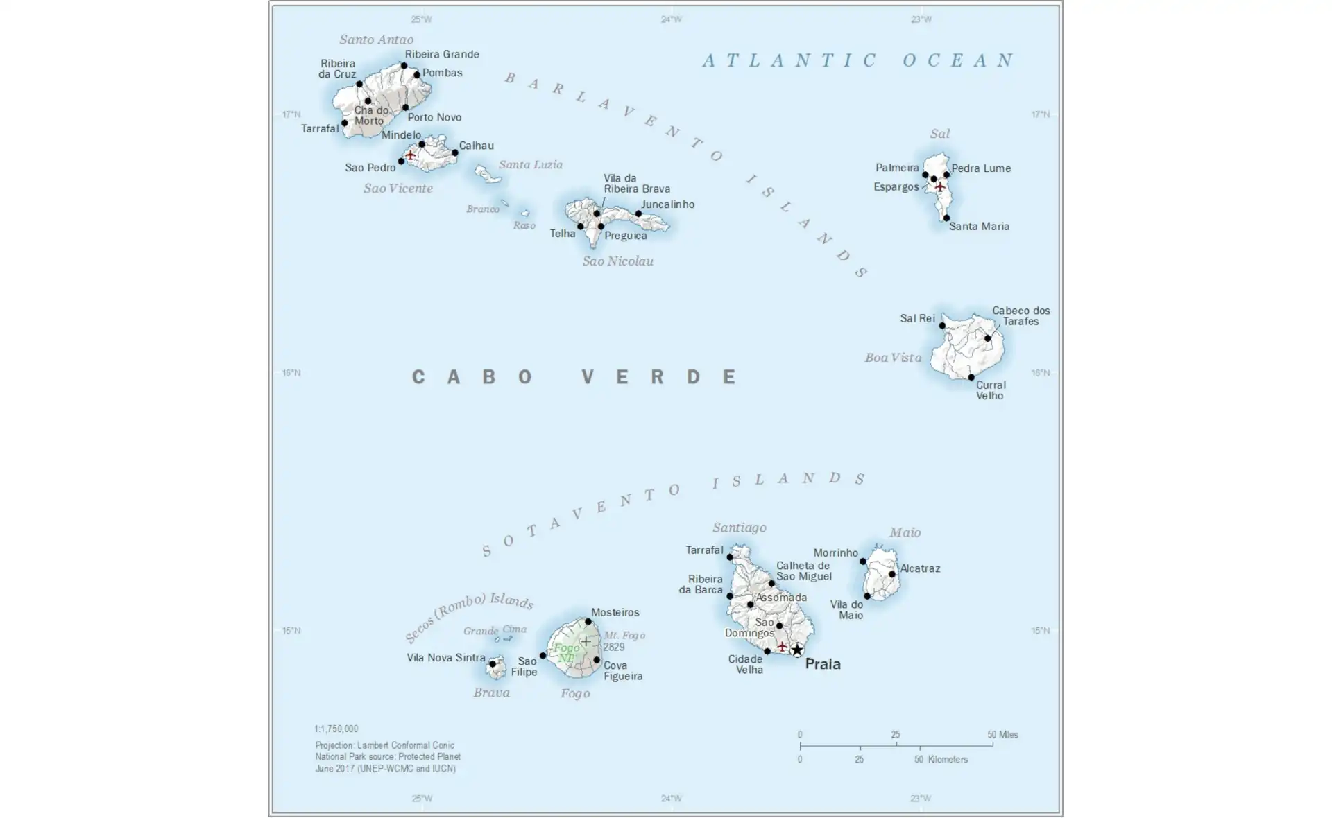
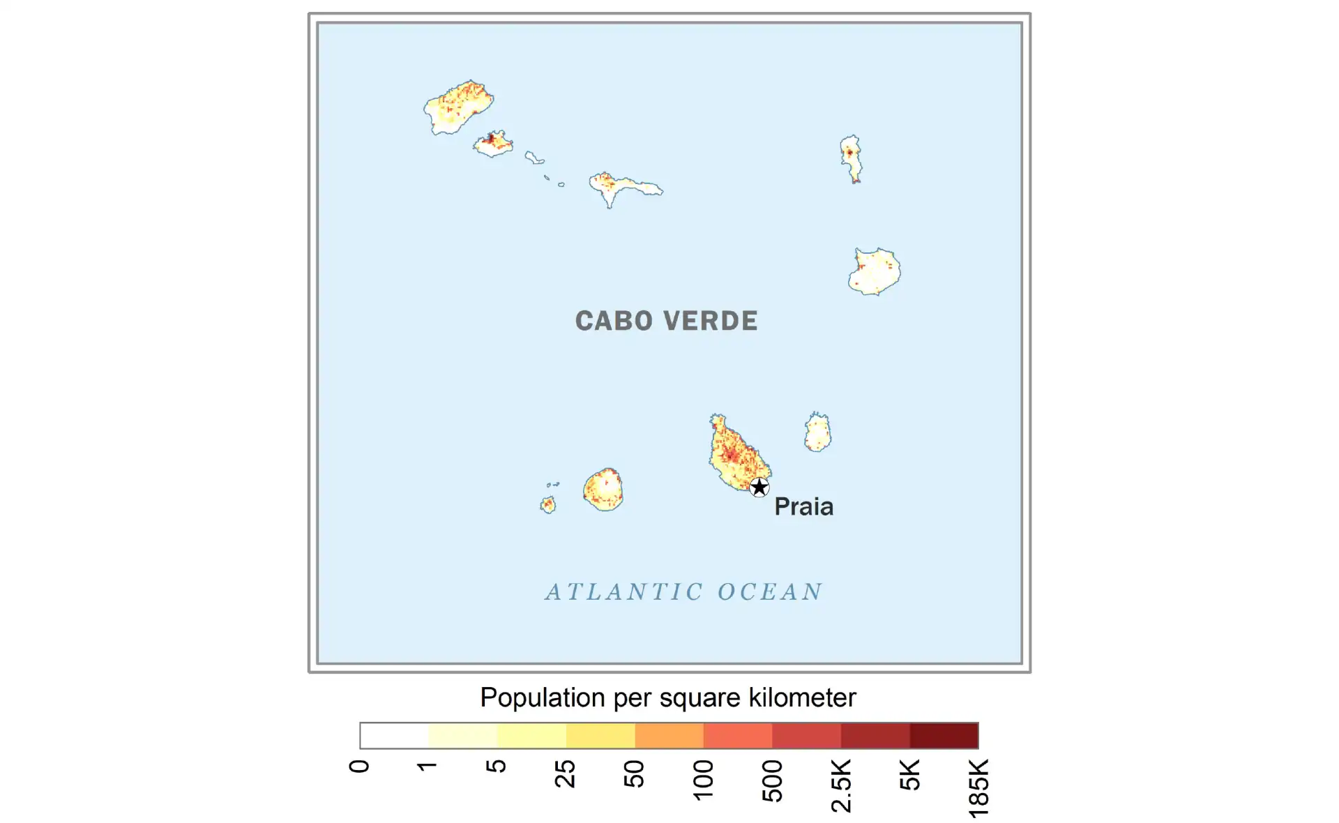
Cabo Verde
Cameroon
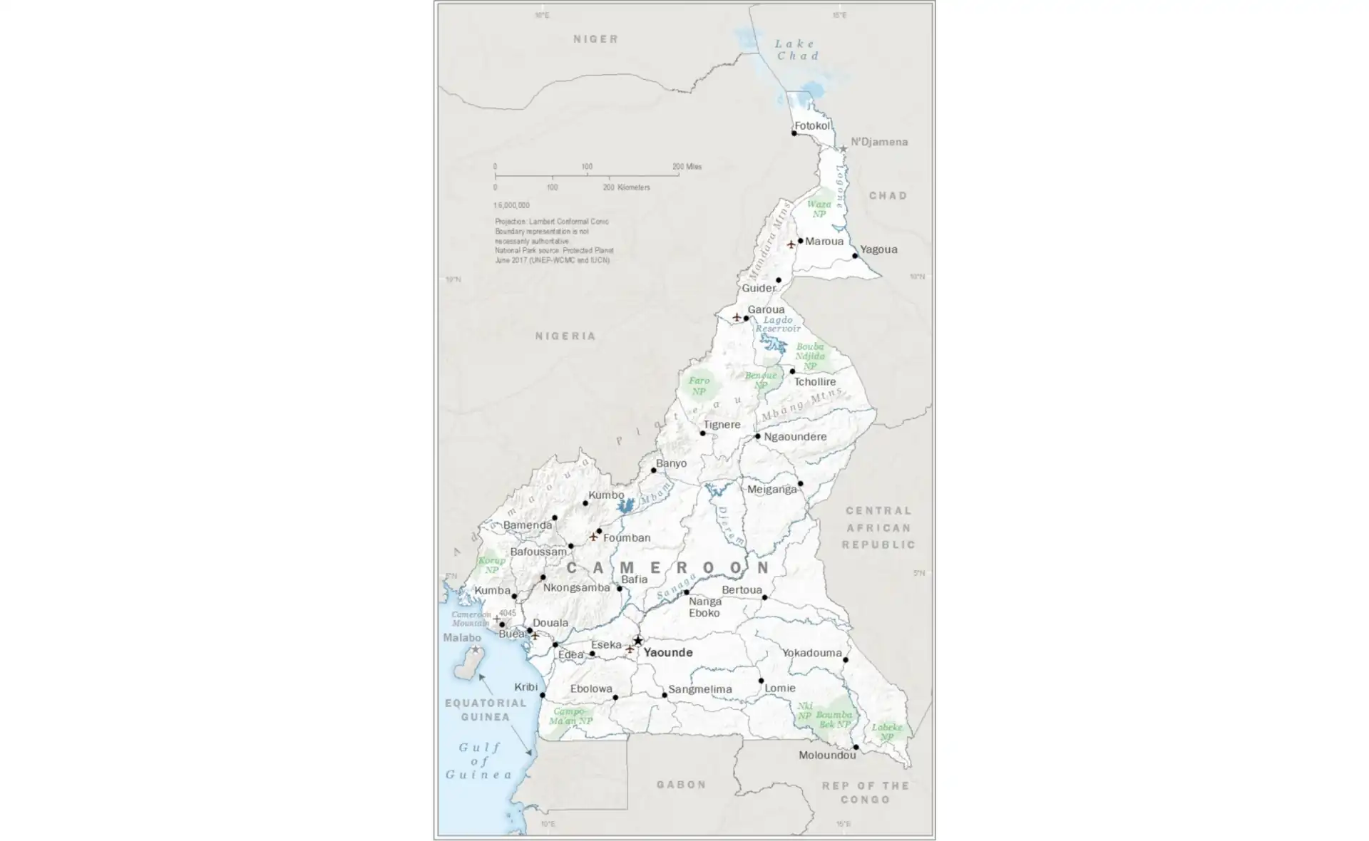
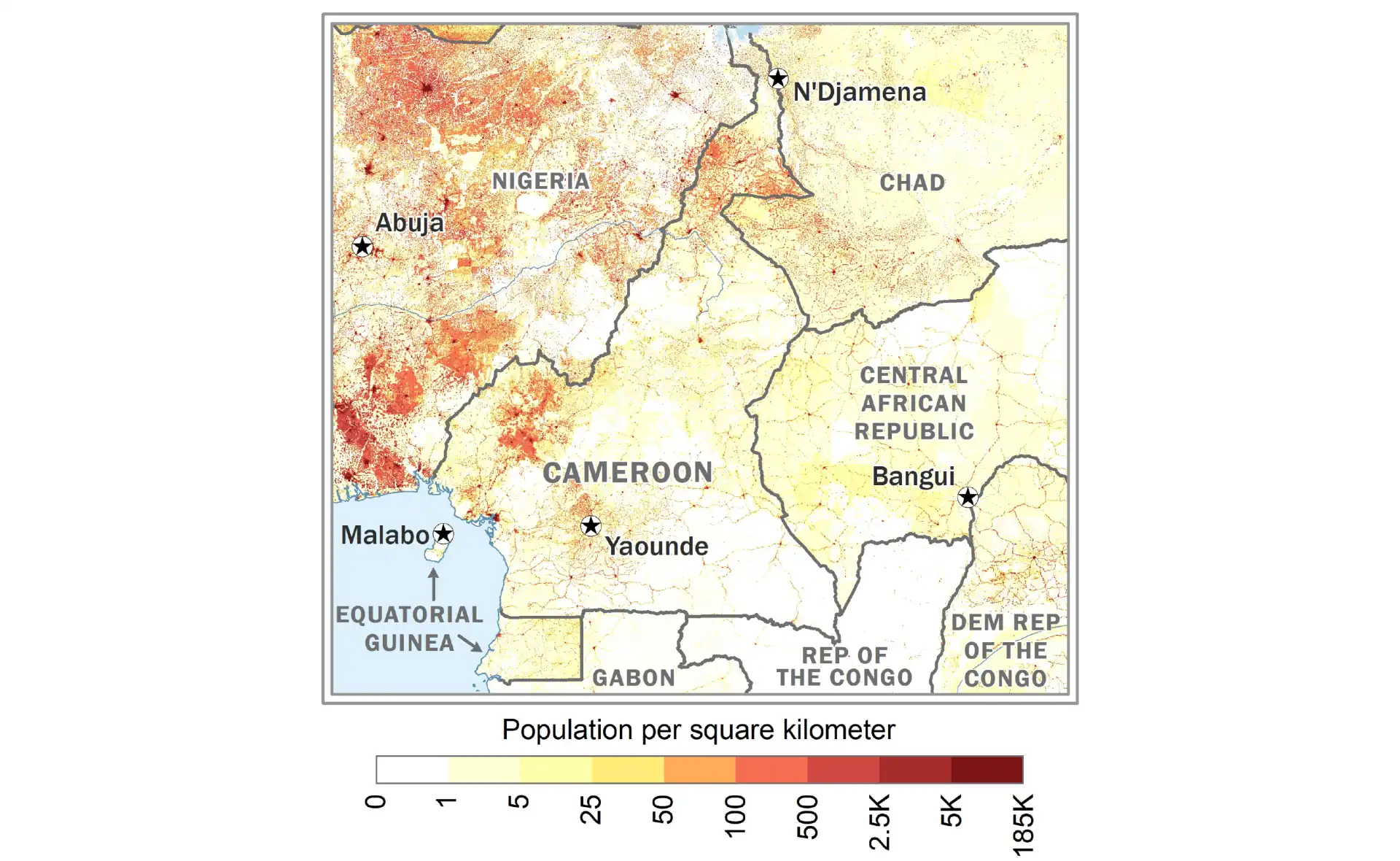
Central African Republic
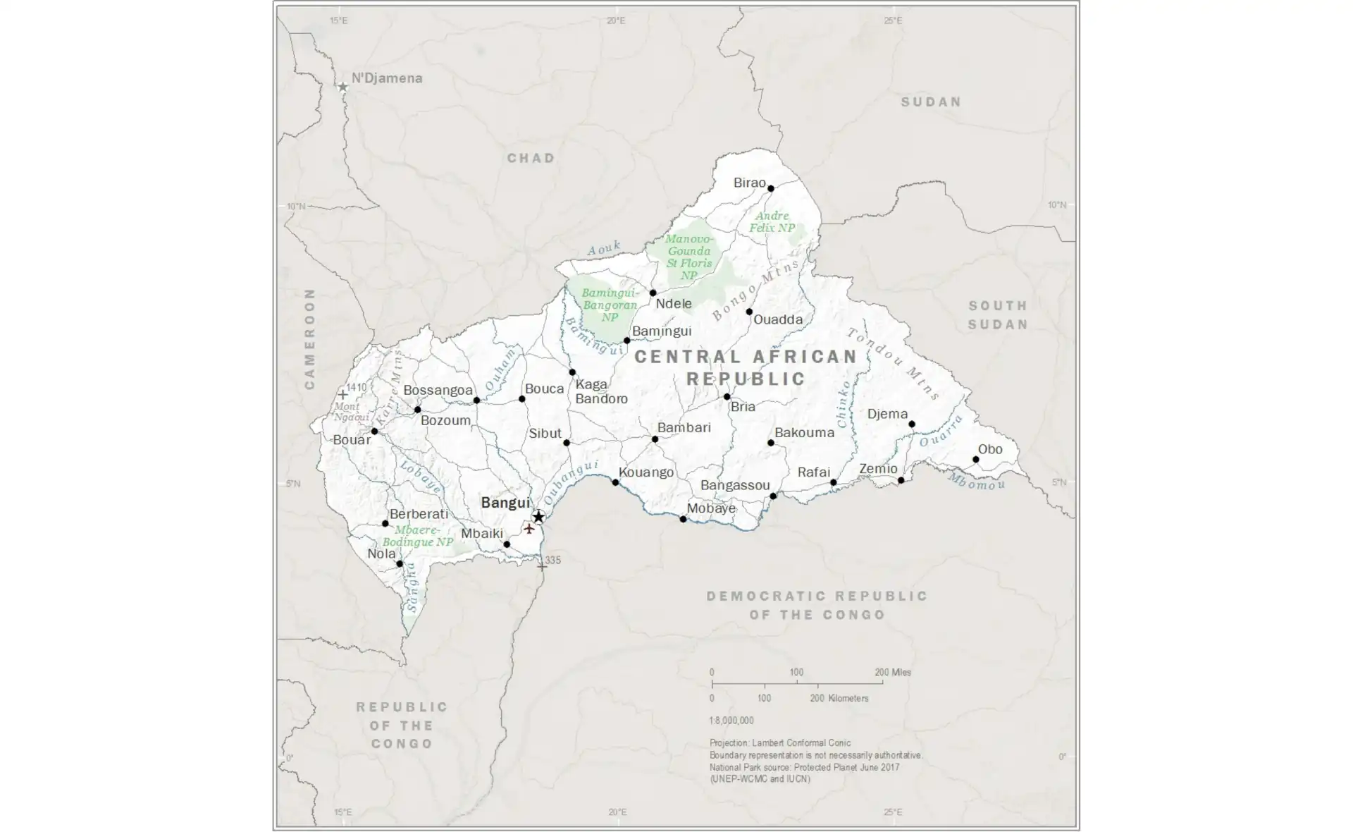
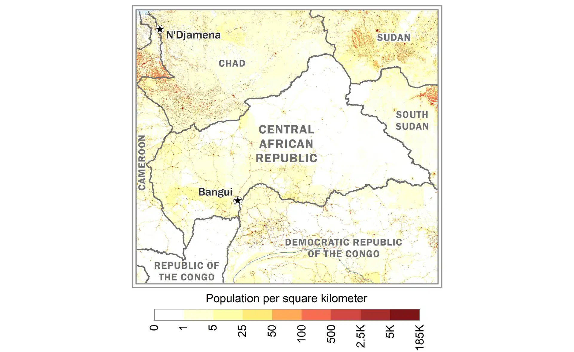
Chad
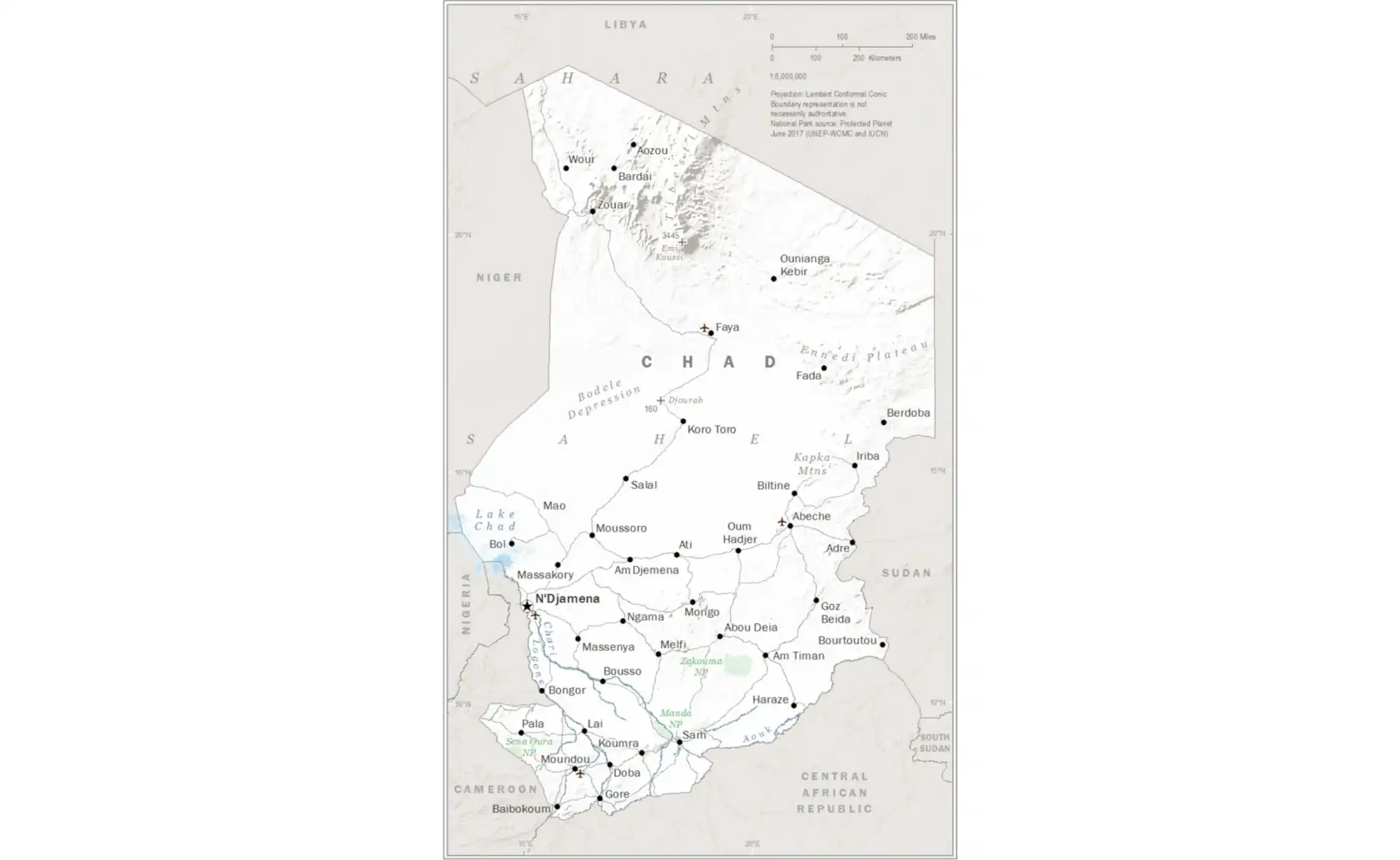
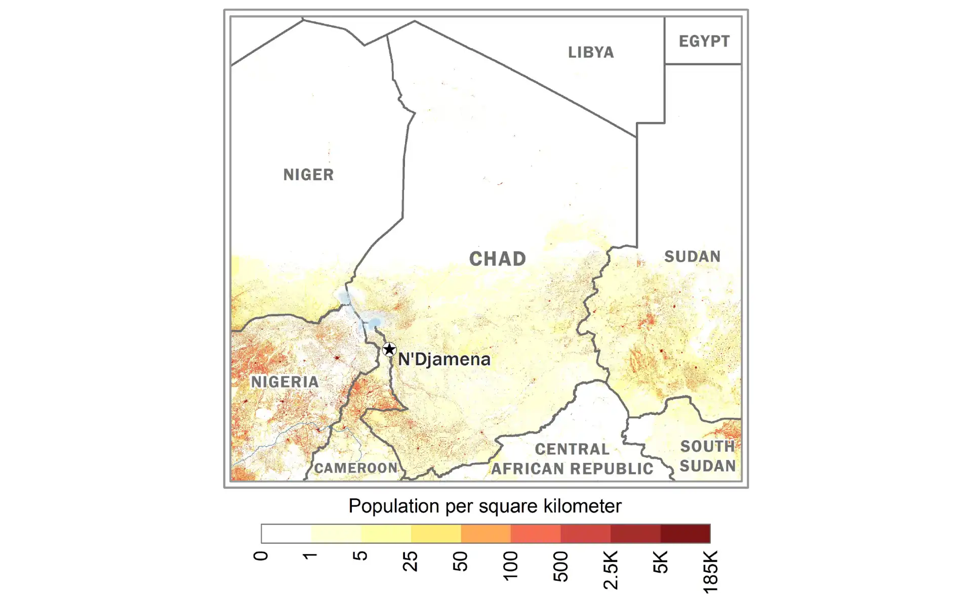
Comoros
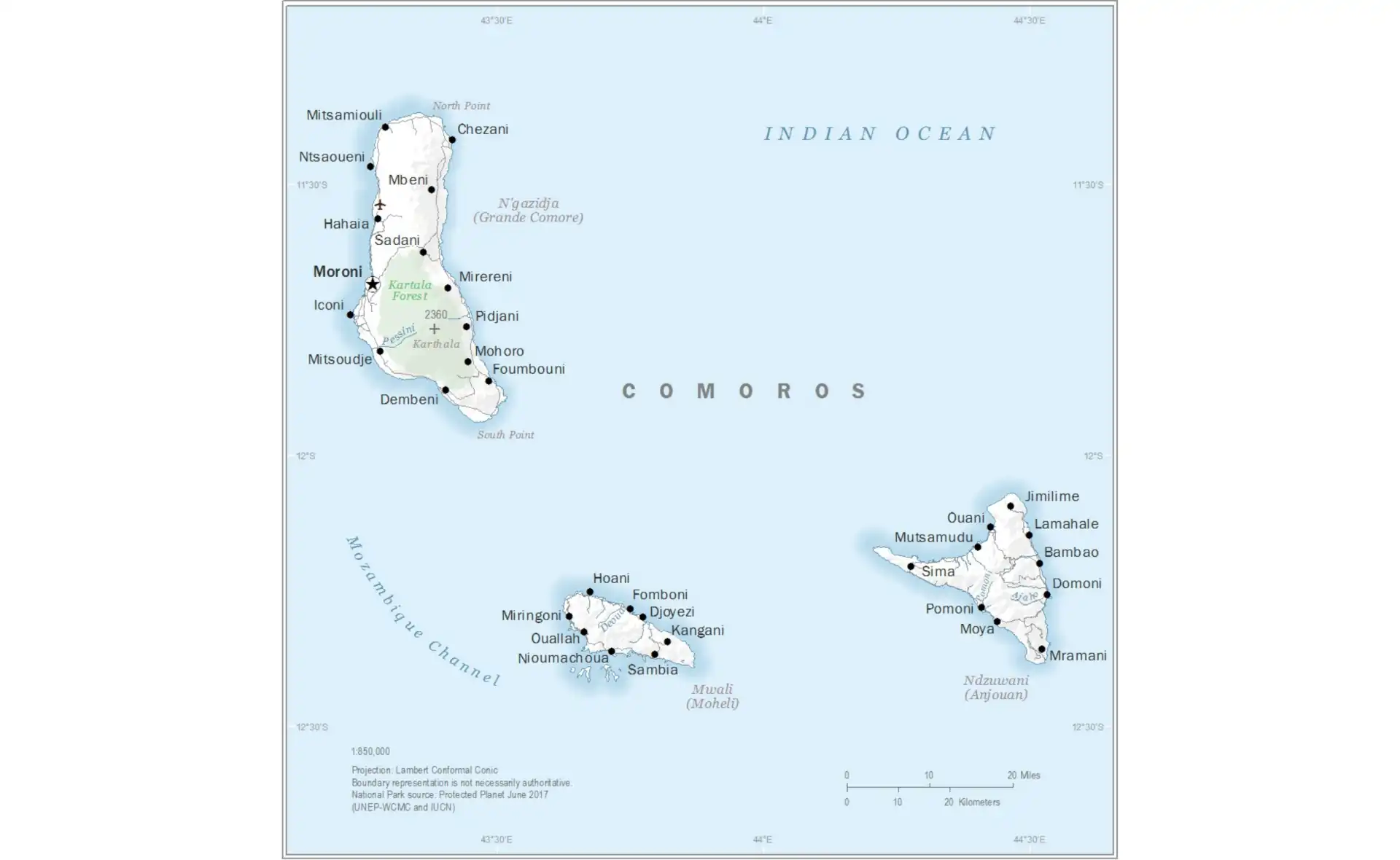
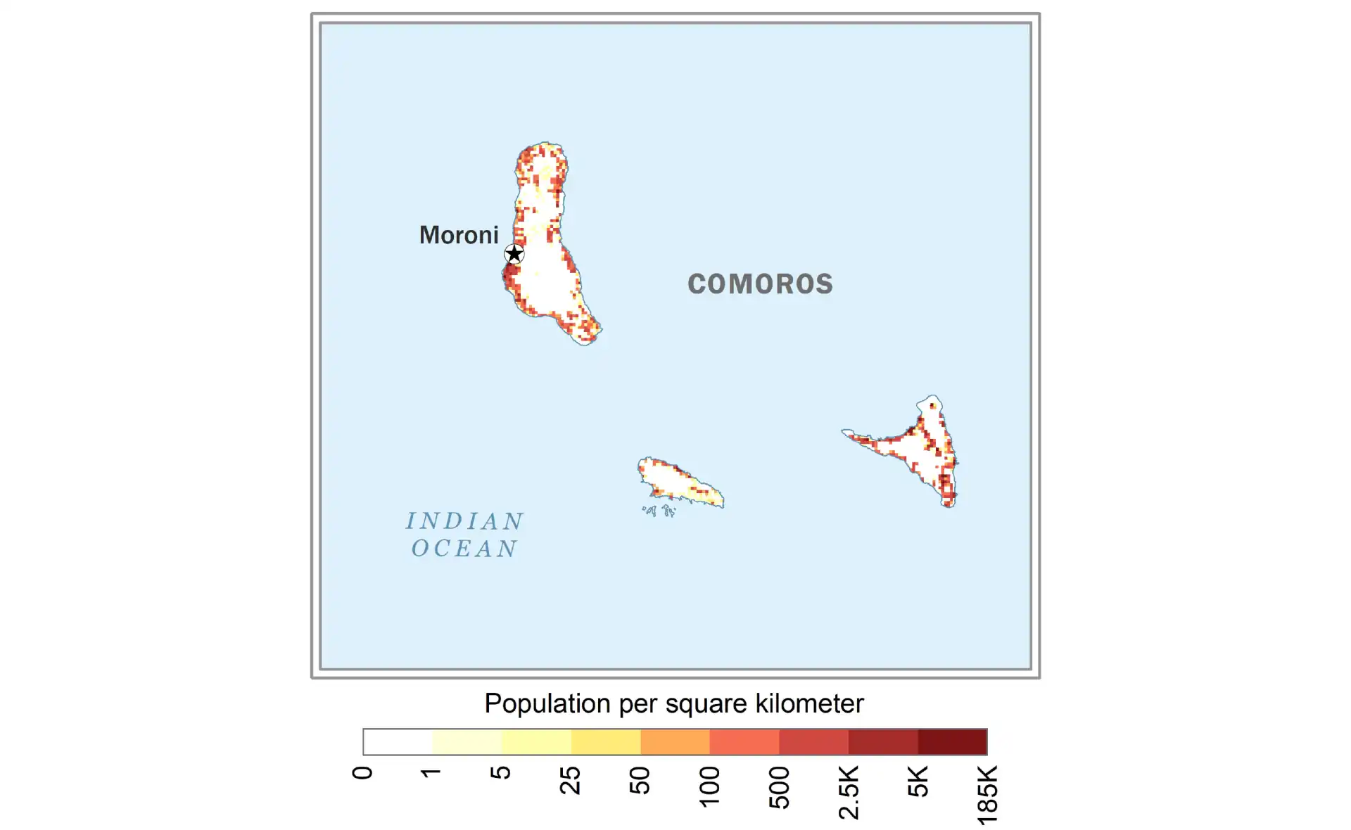
Congo (DRC)
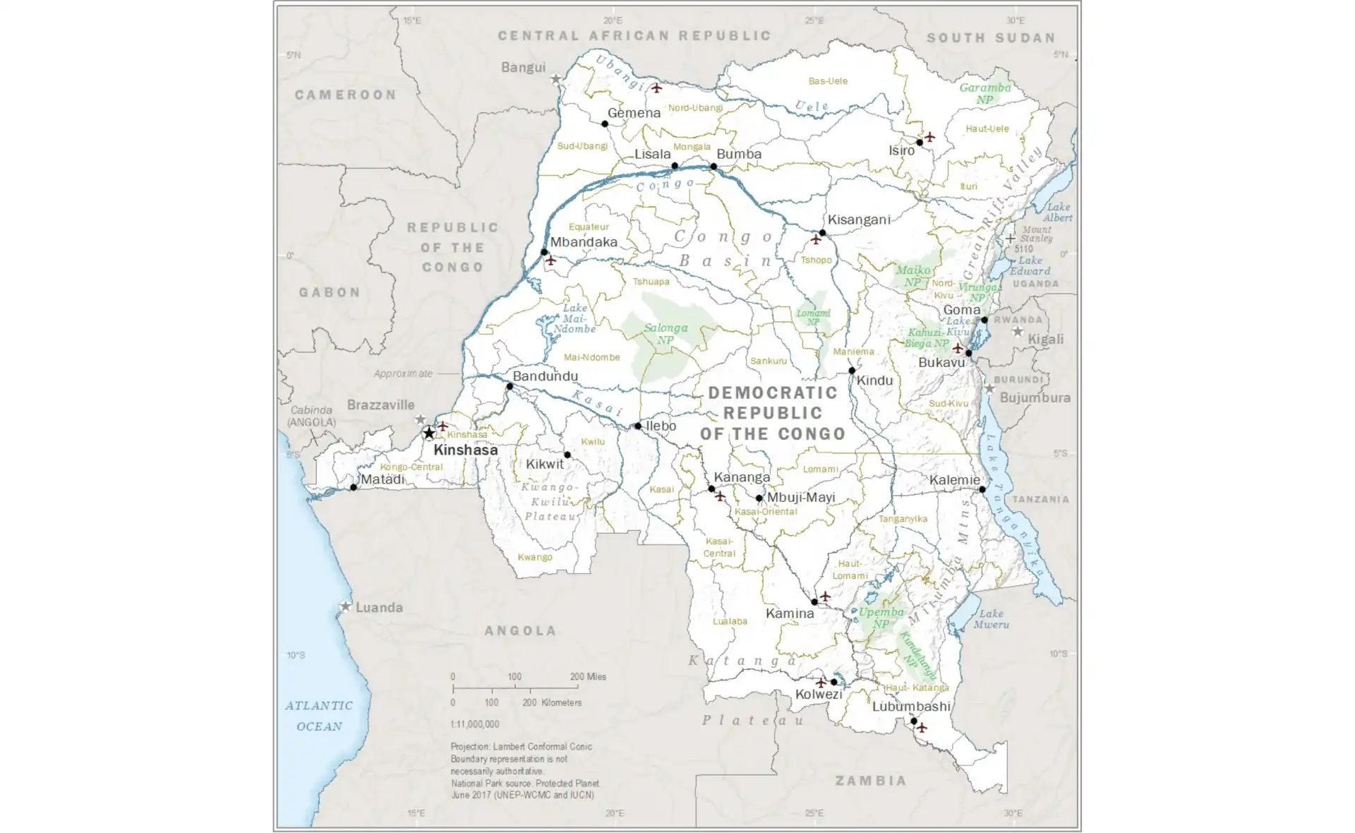
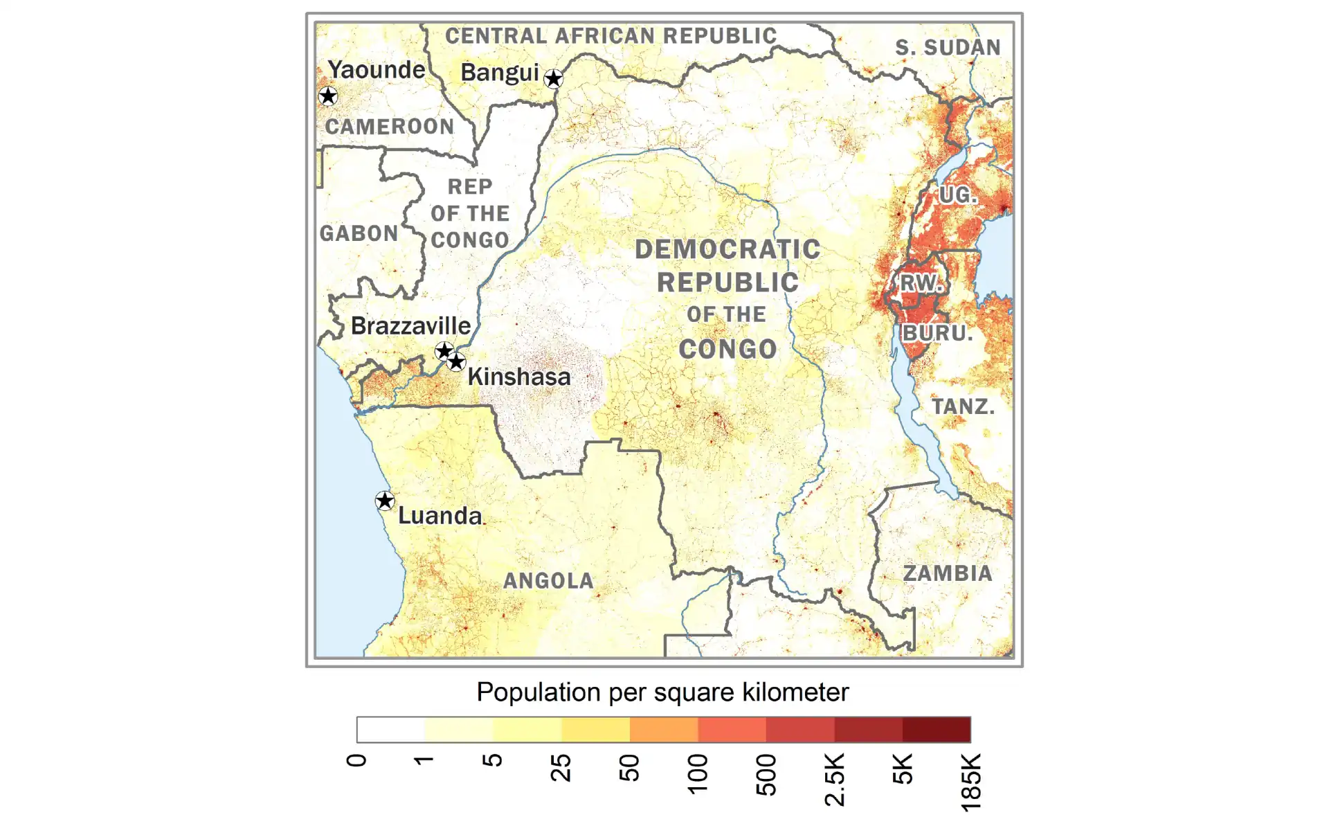
Congo (Republic)
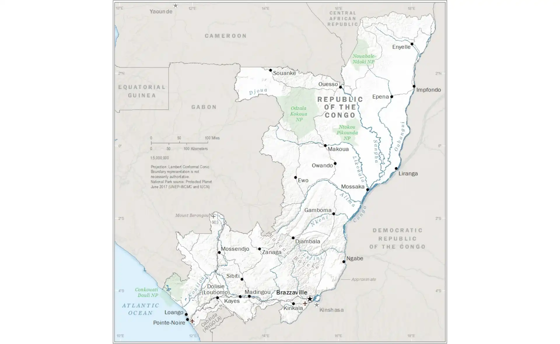
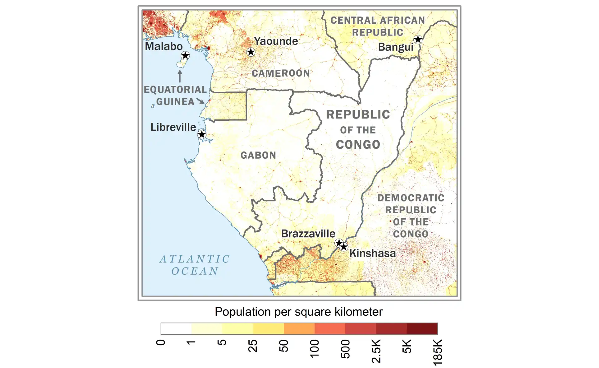
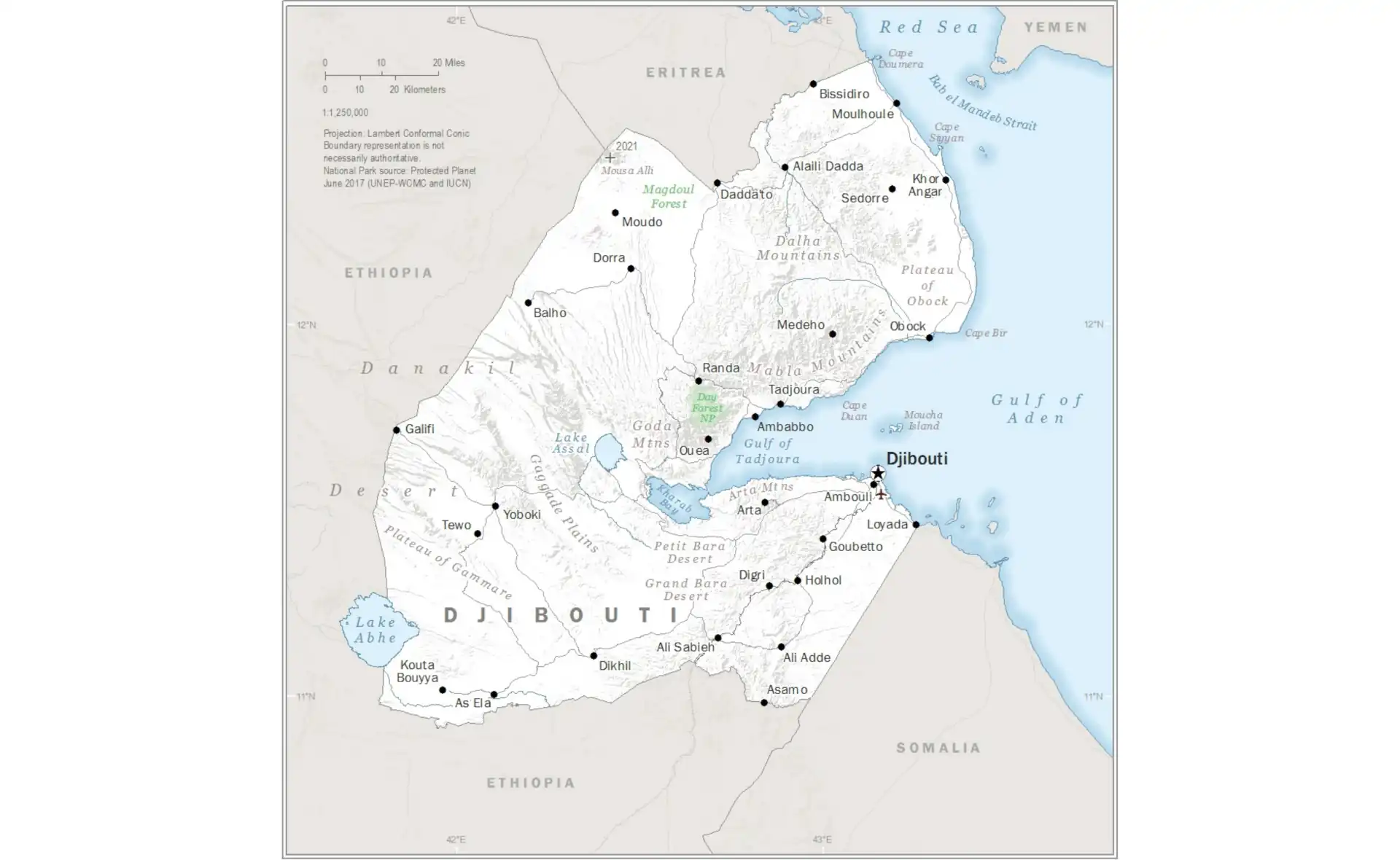
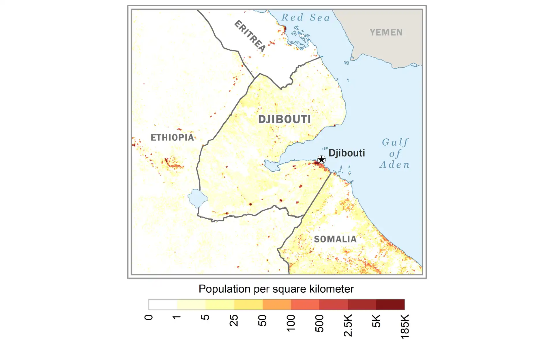
Djibouti
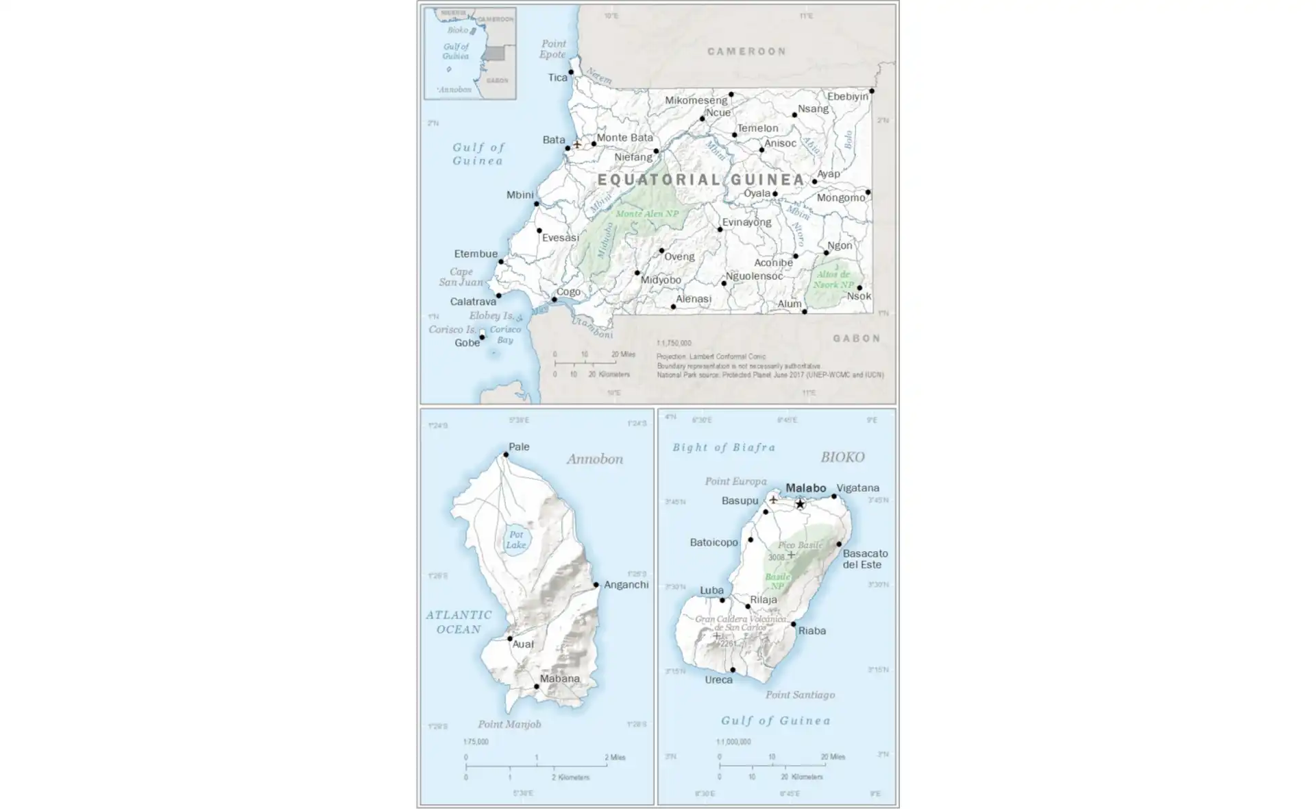
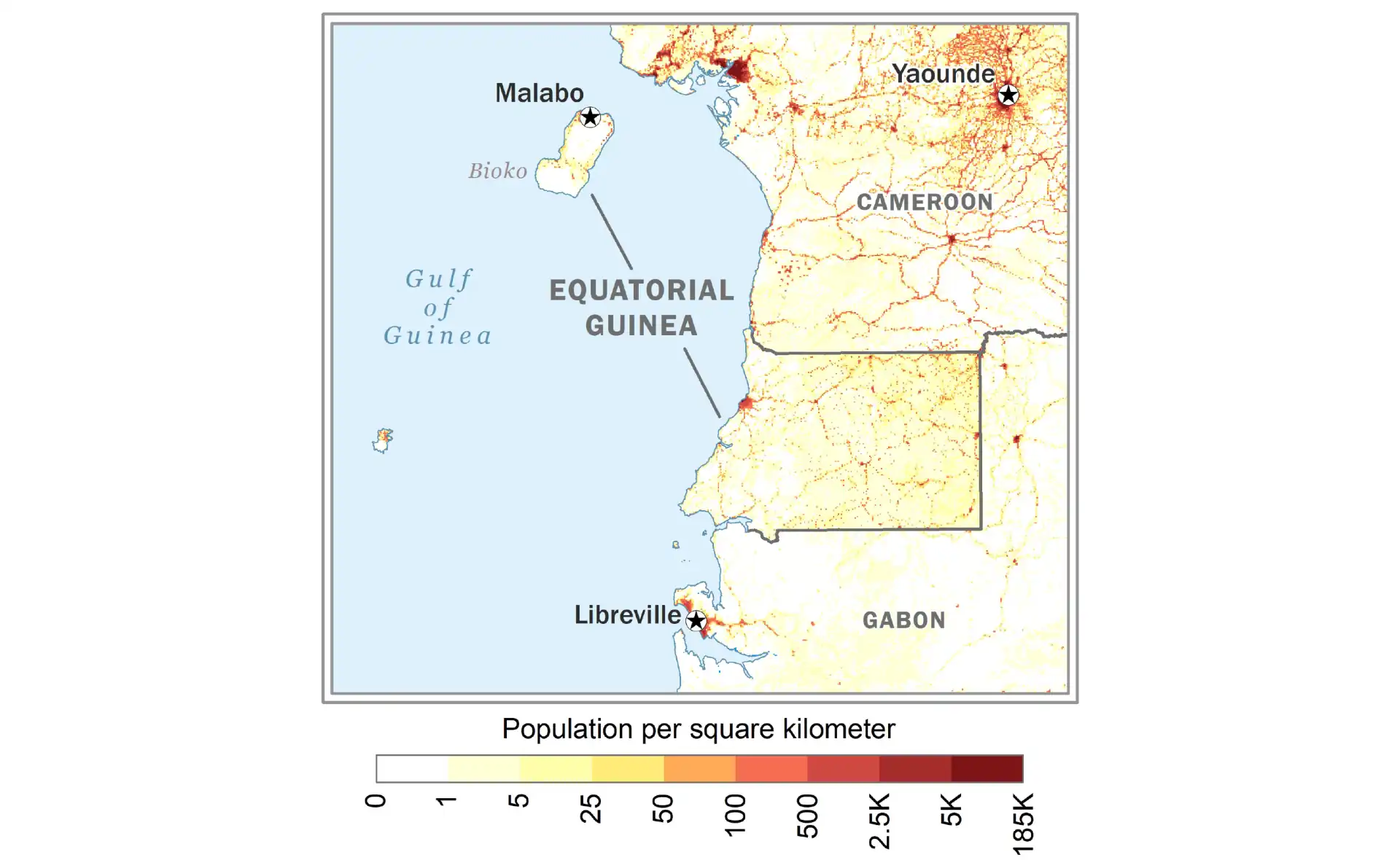
Equatorial Guinea
Eritrea
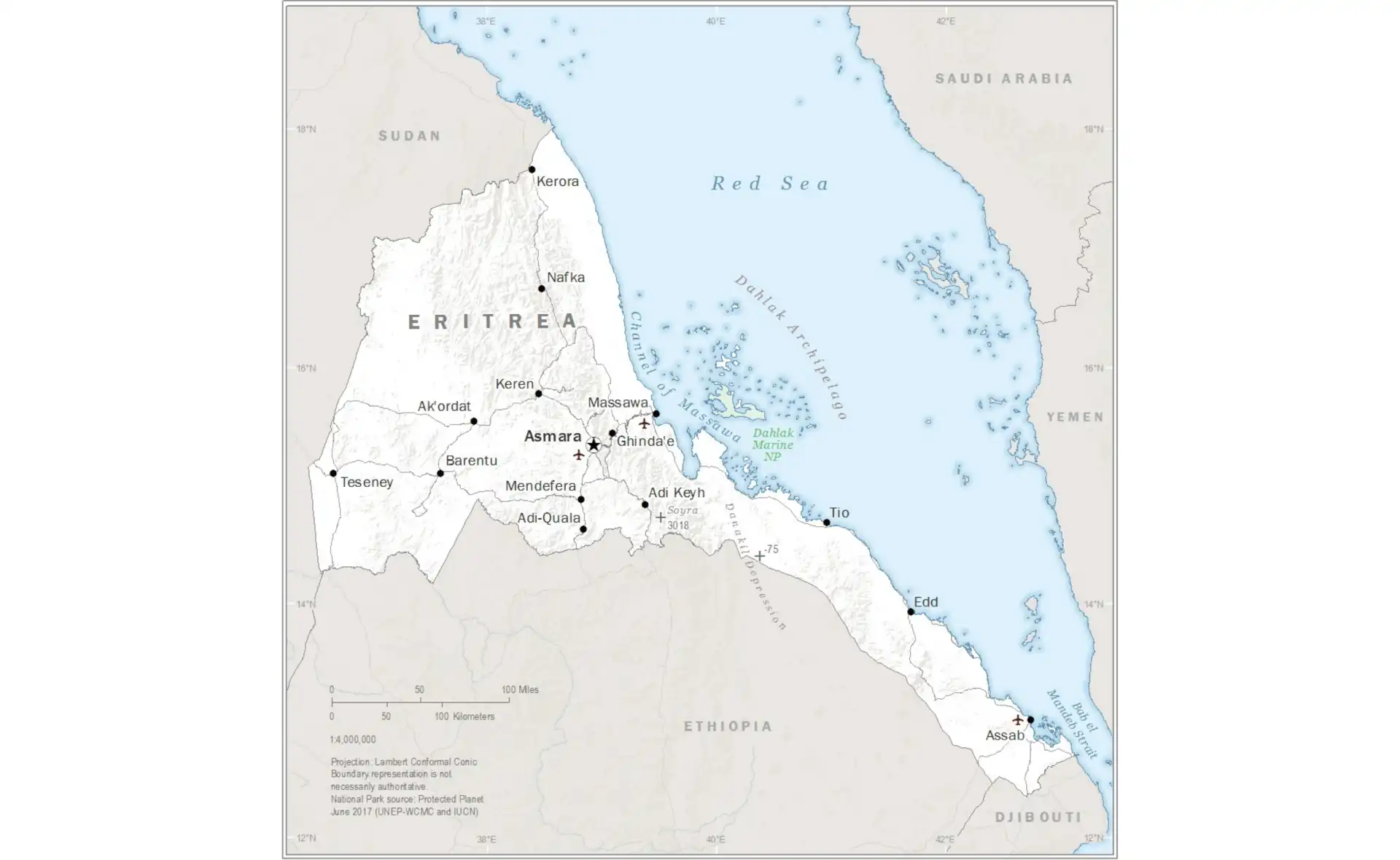
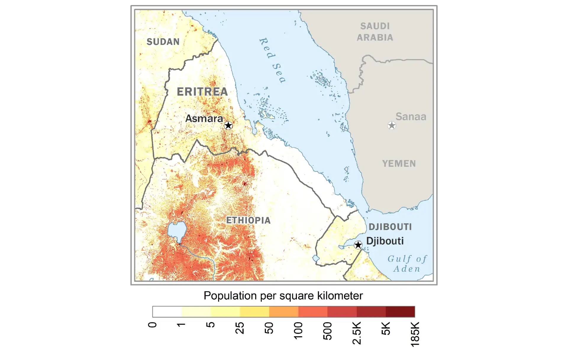
Gabon
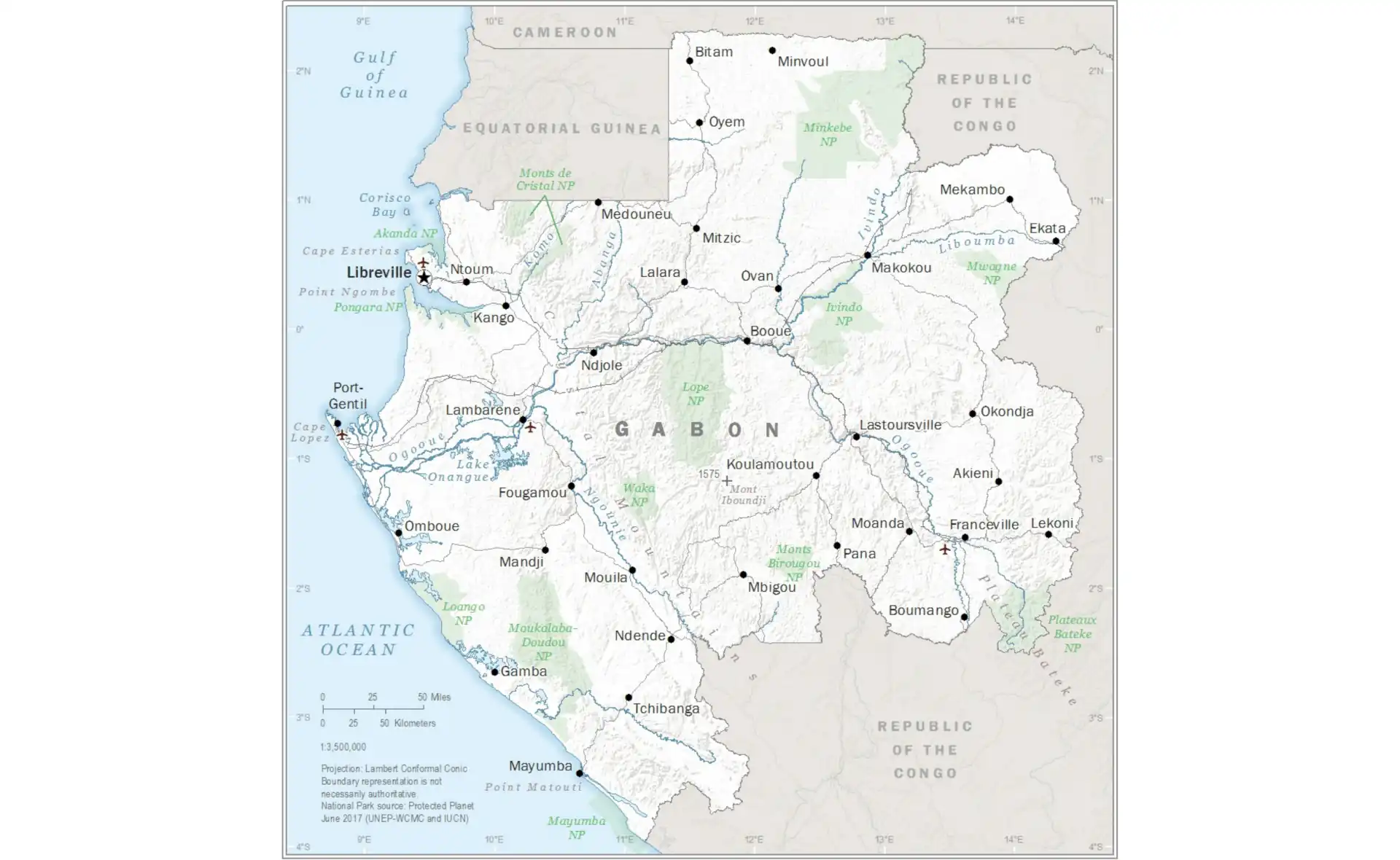
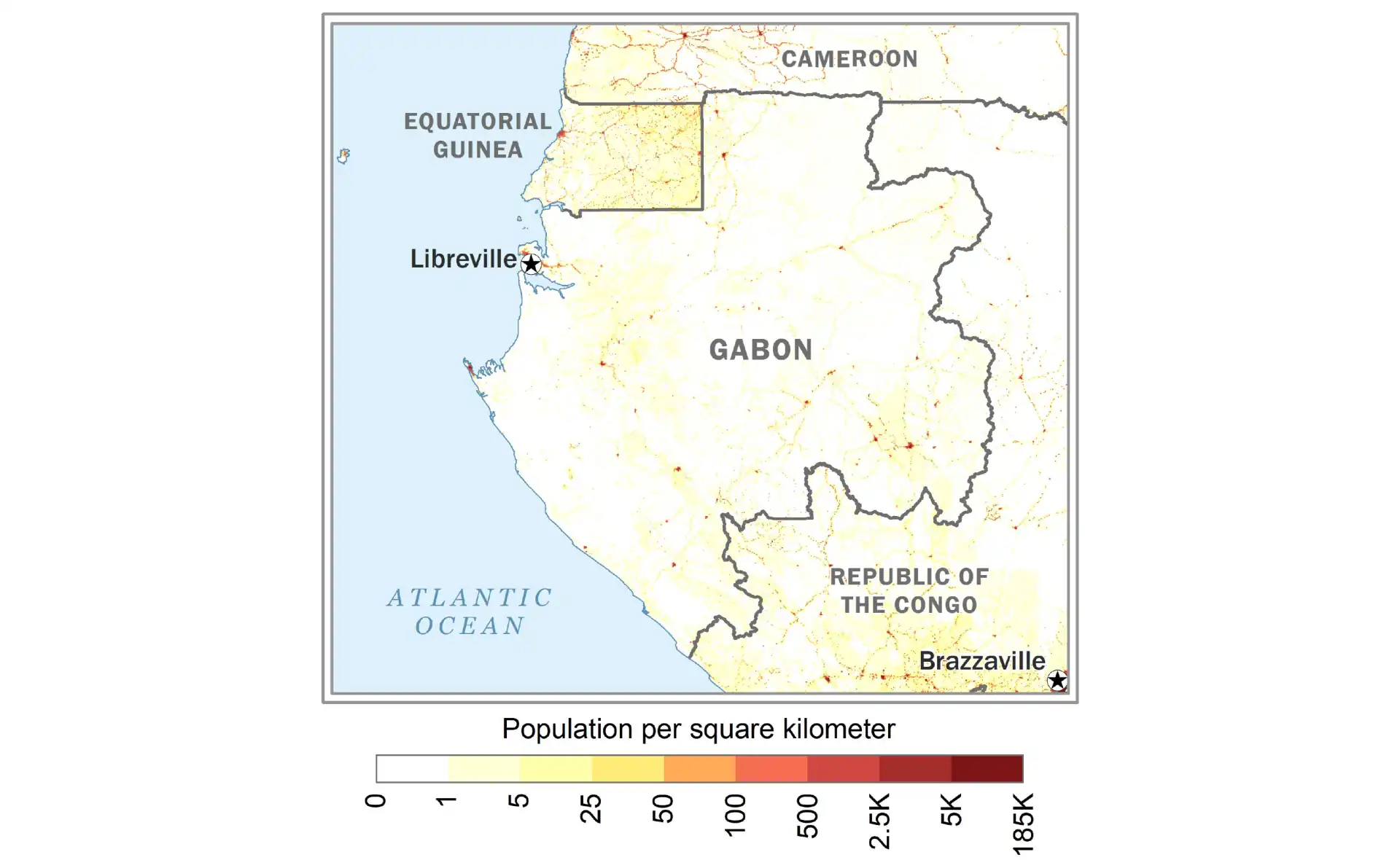
Gambia
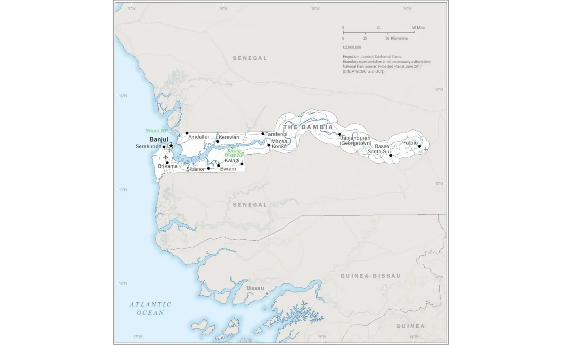
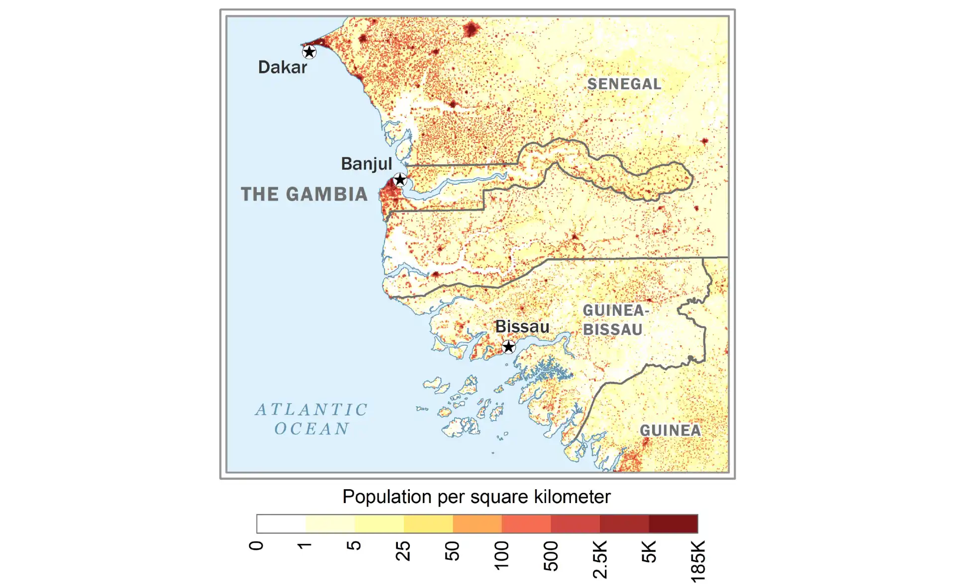
Guinea
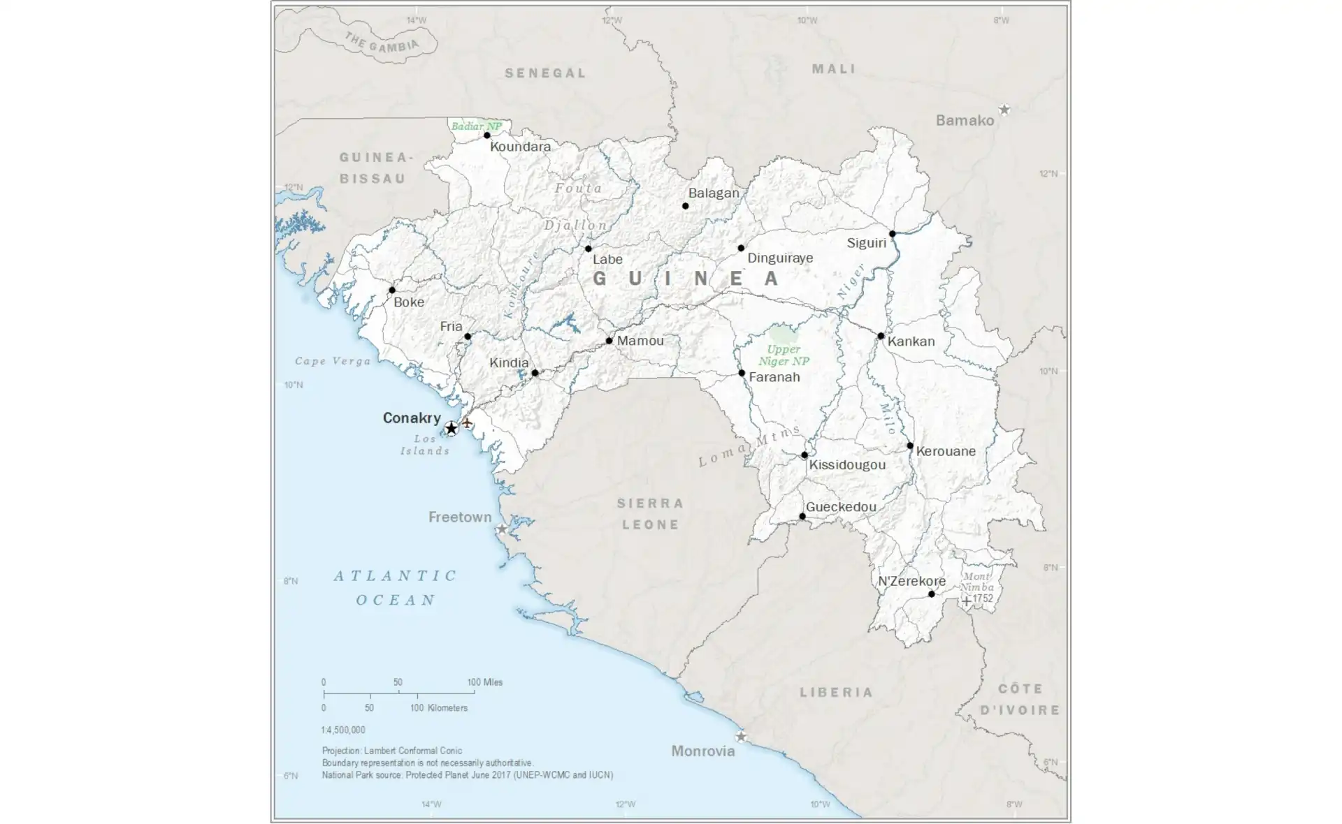
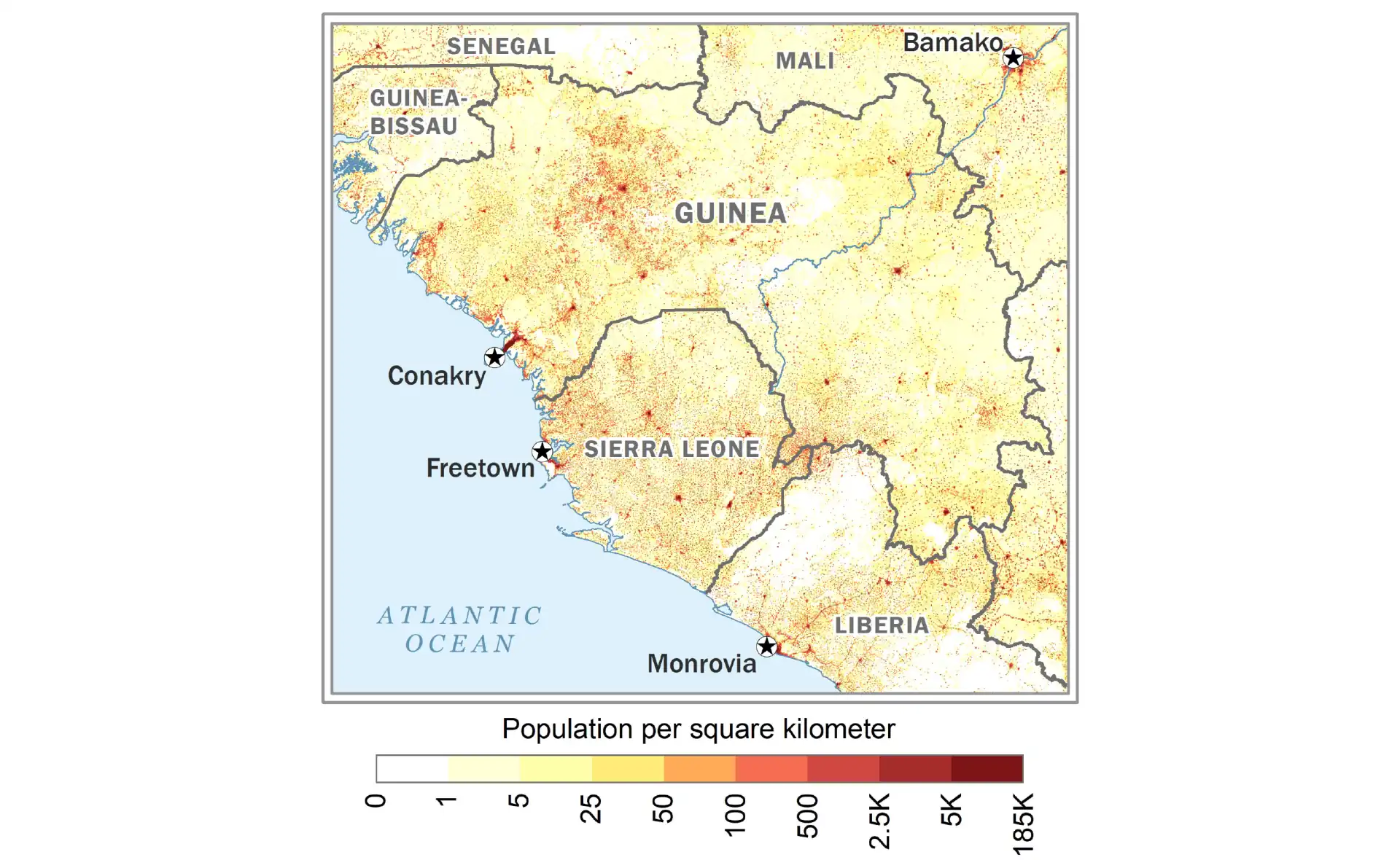
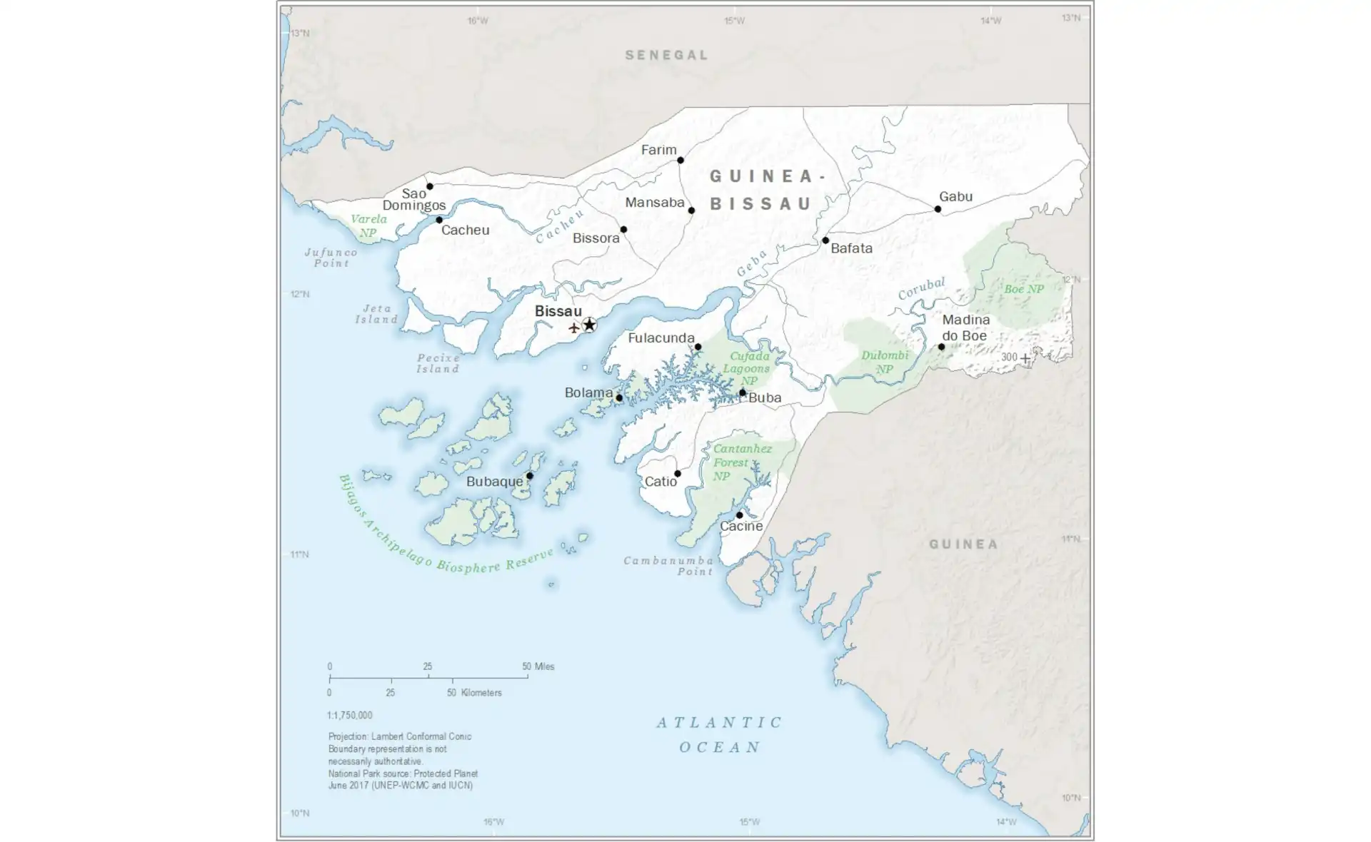
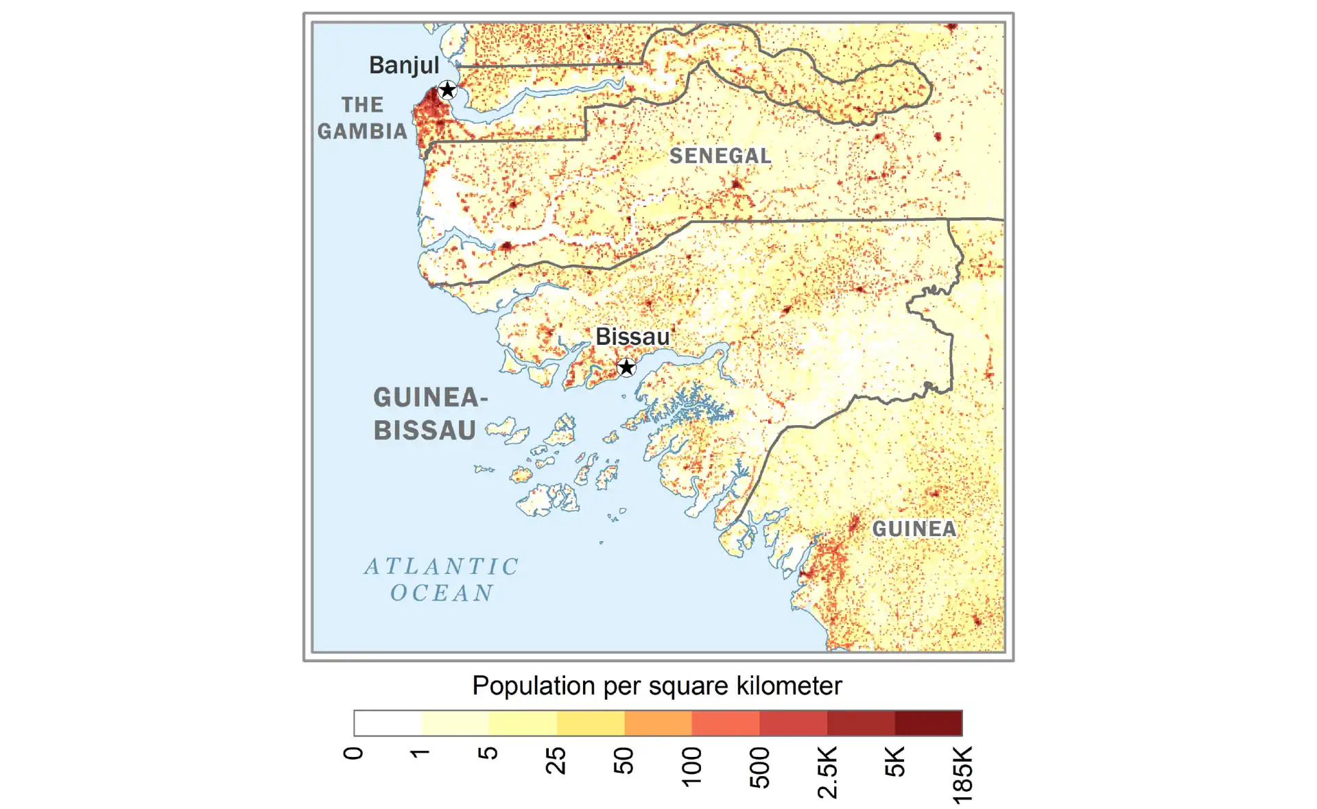
Guinea-Bissau
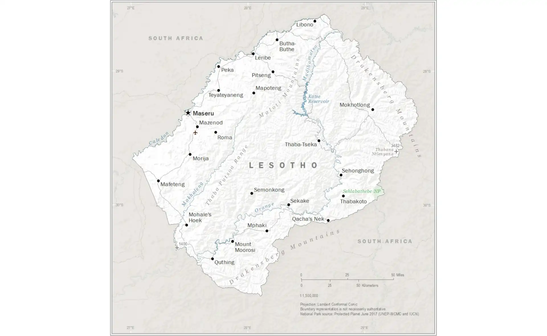
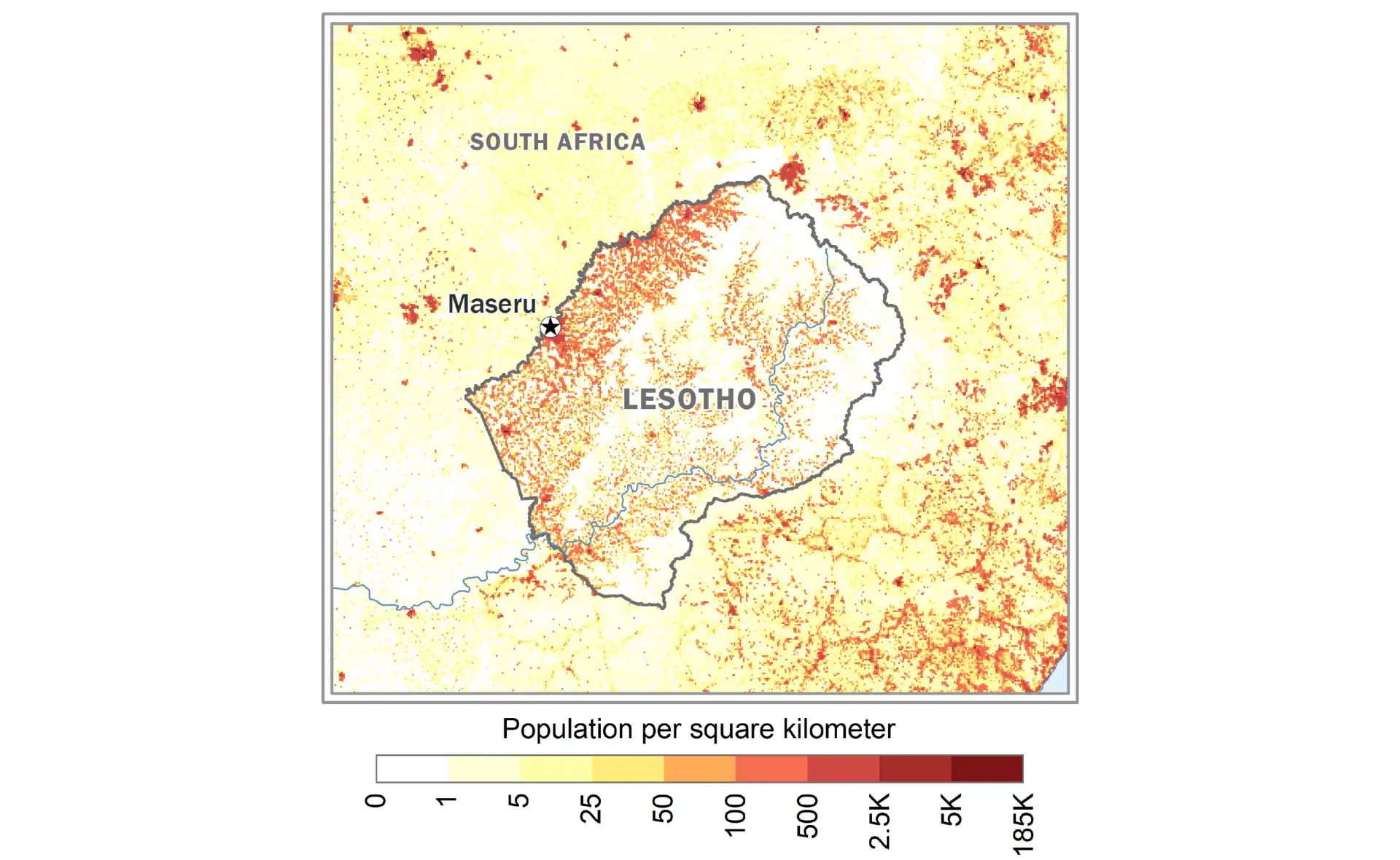
Lesotho
Liberia
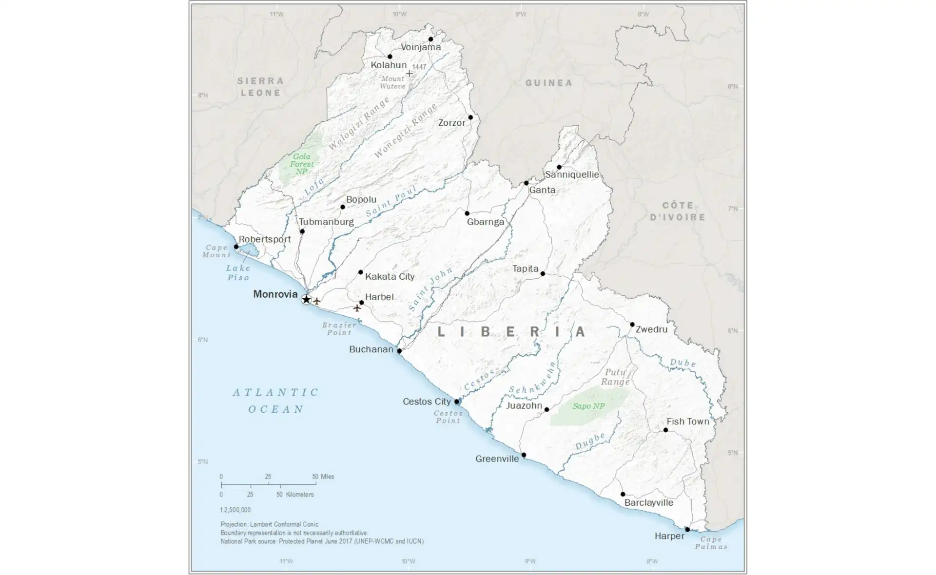
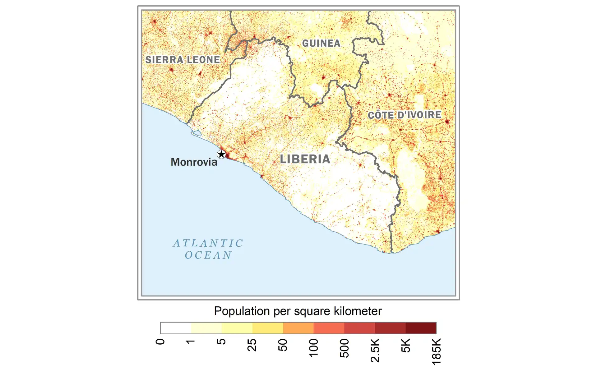
Madagascar
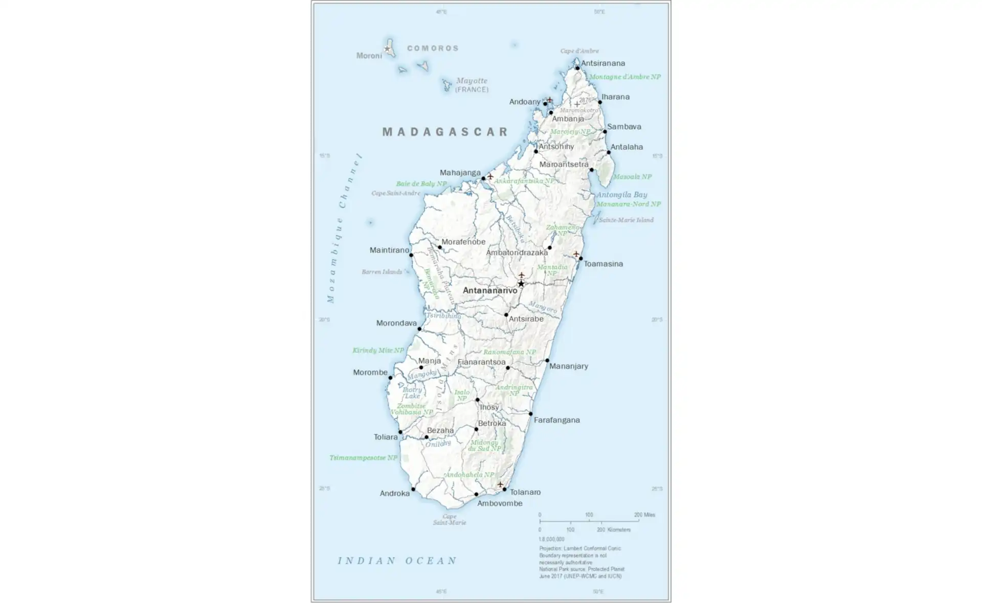
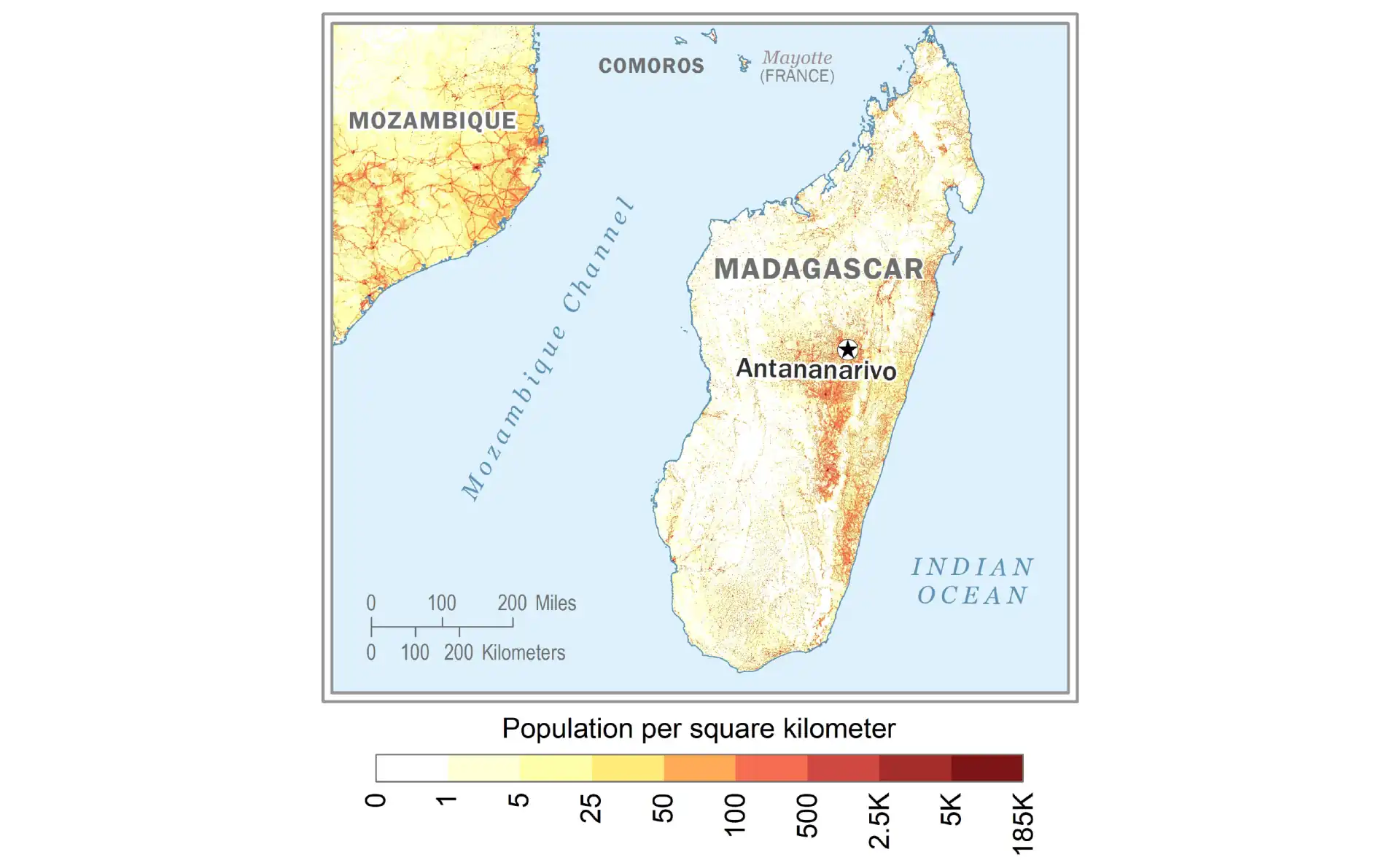
Malawi
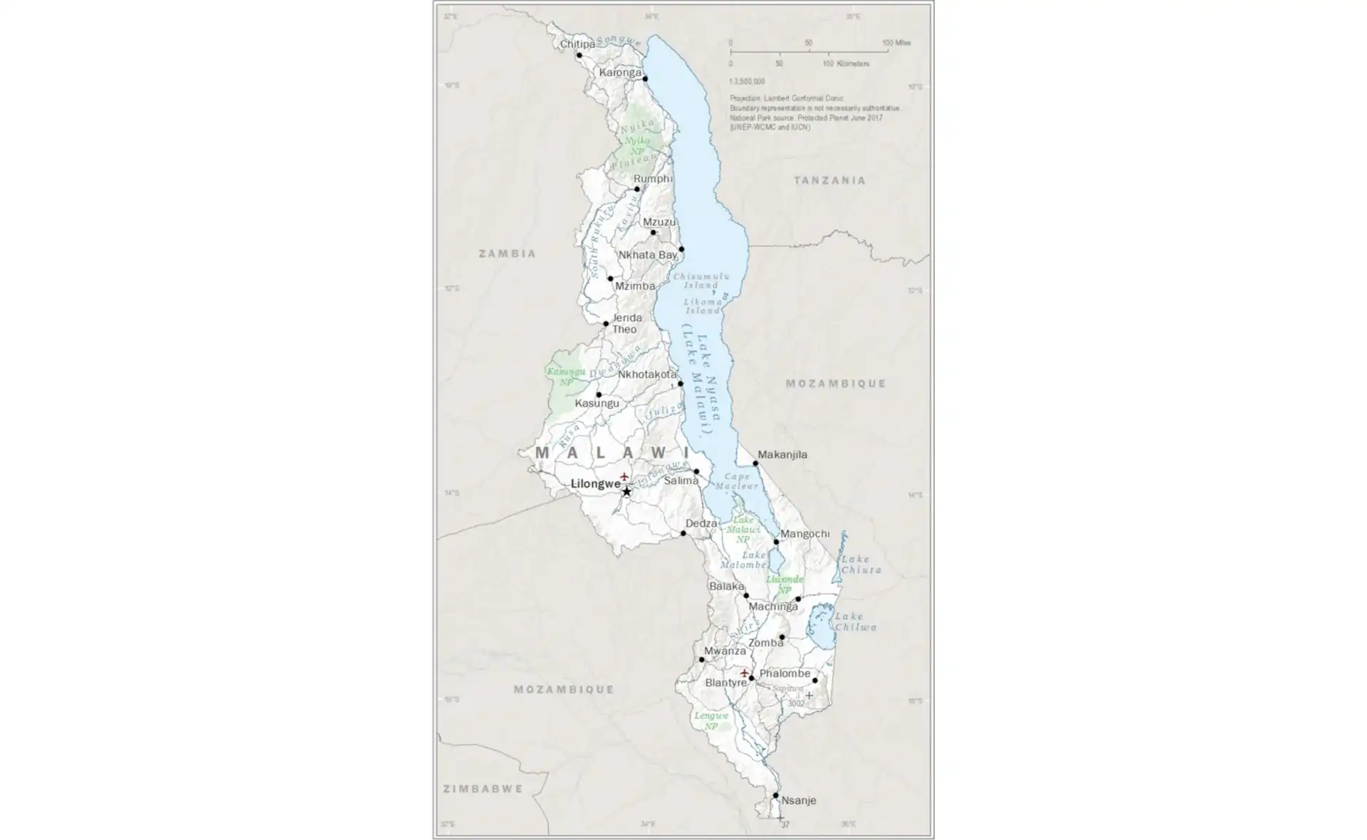
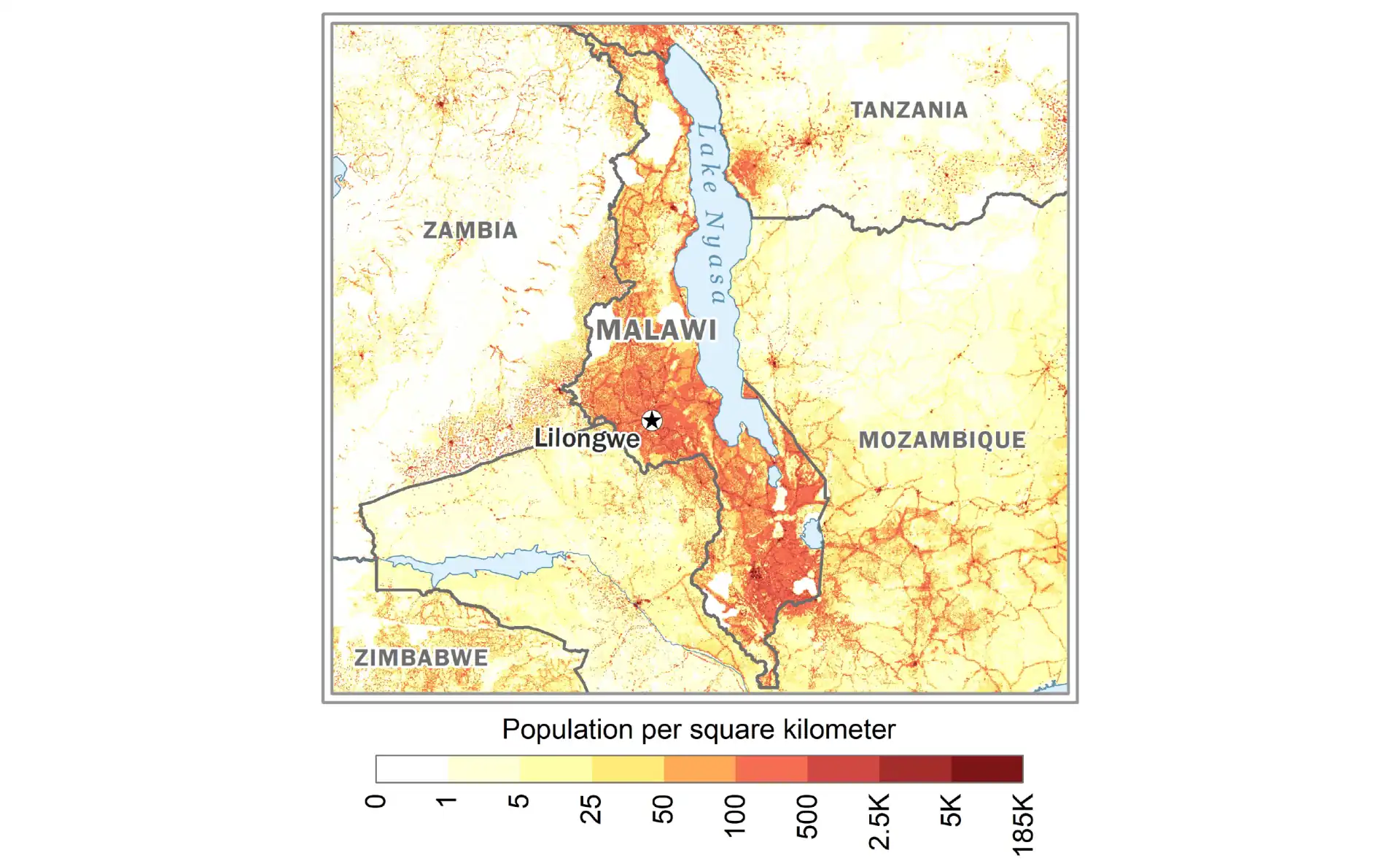
Mauritania
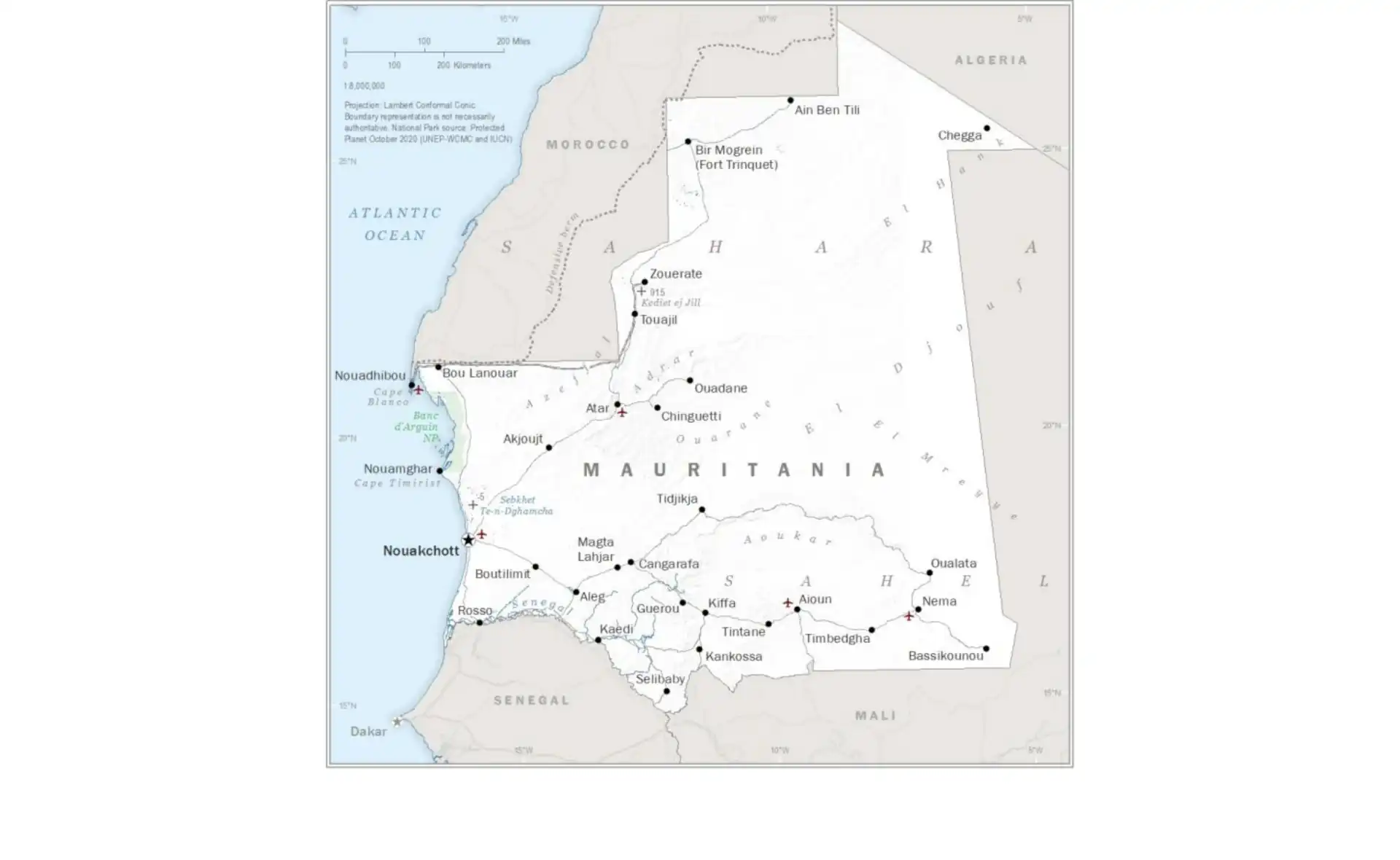
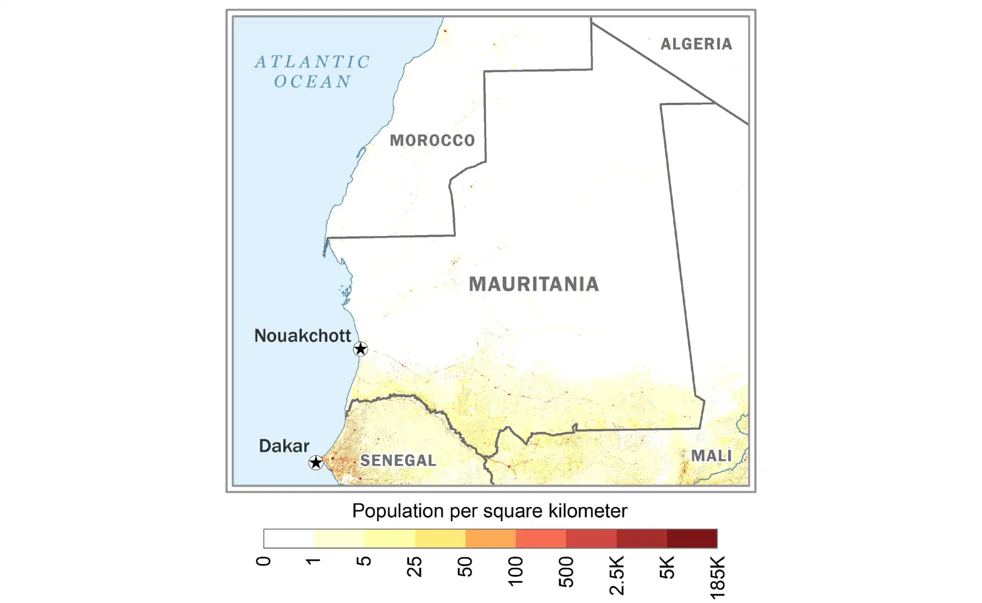
Niger
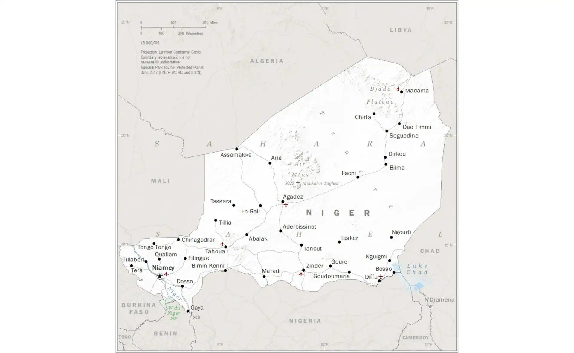
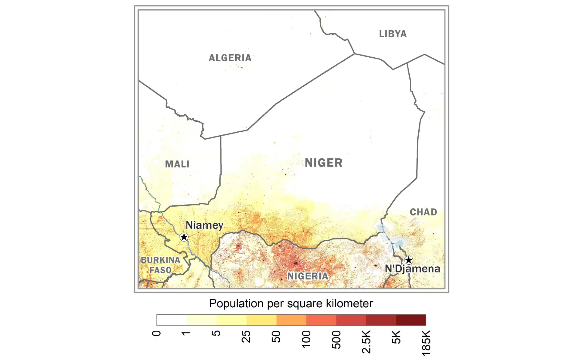
Sierra Leone
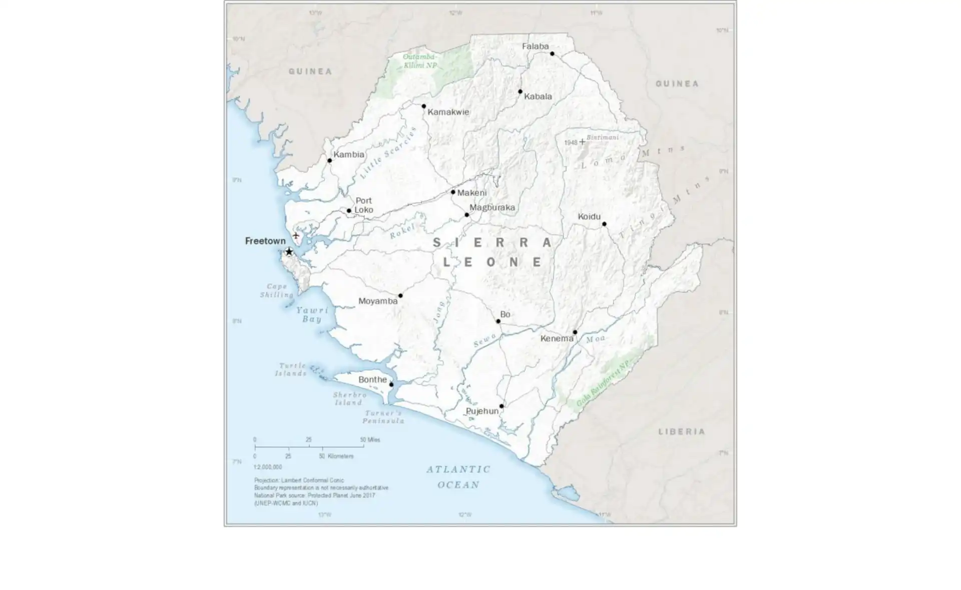
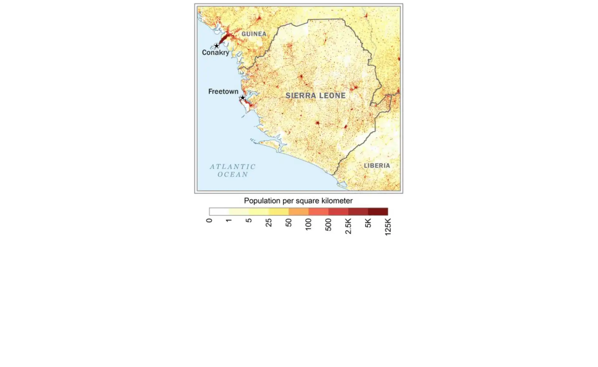
South Sudan
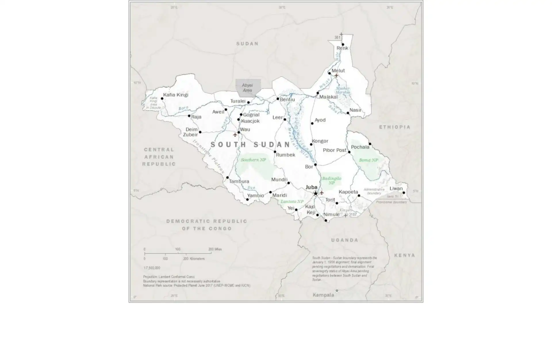
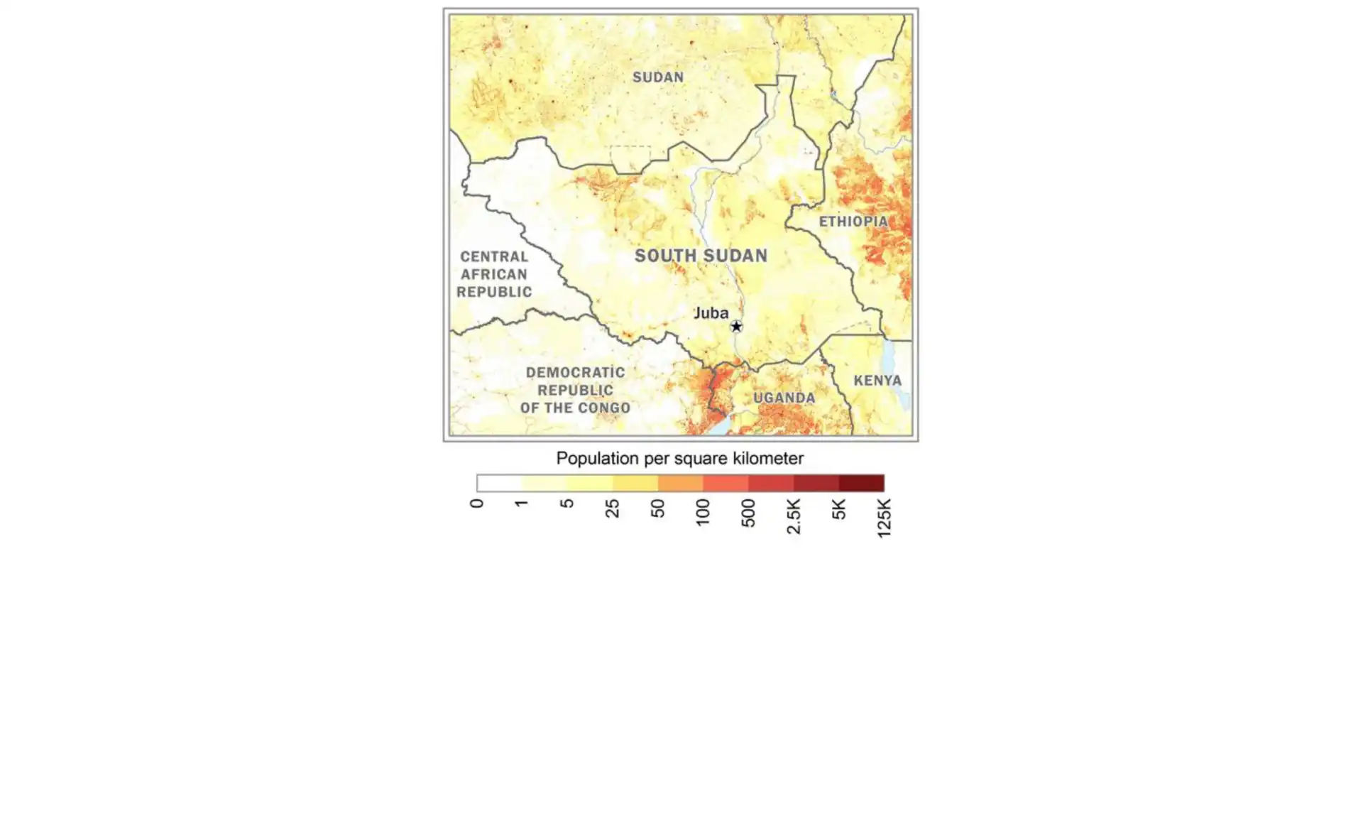
Togo
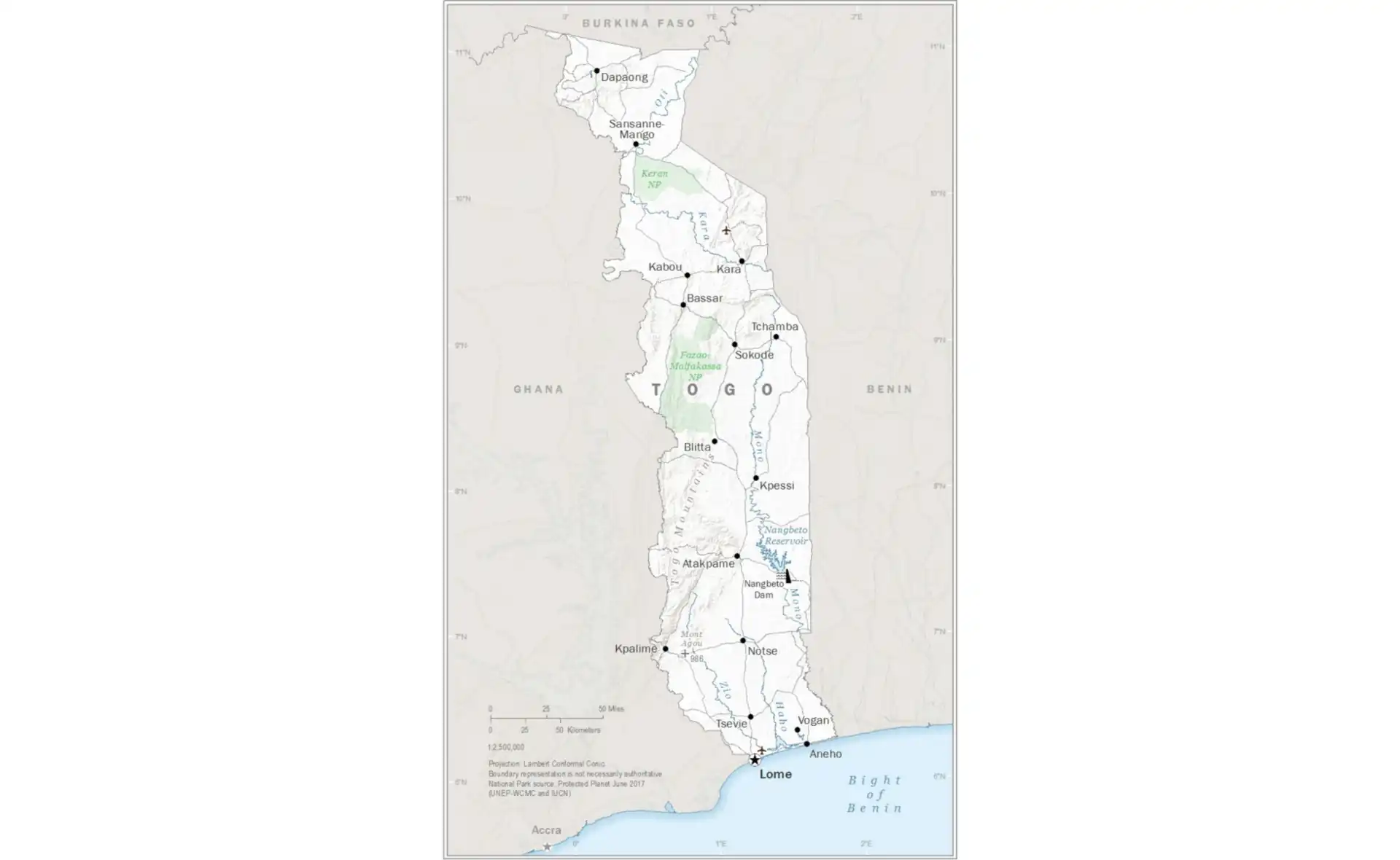
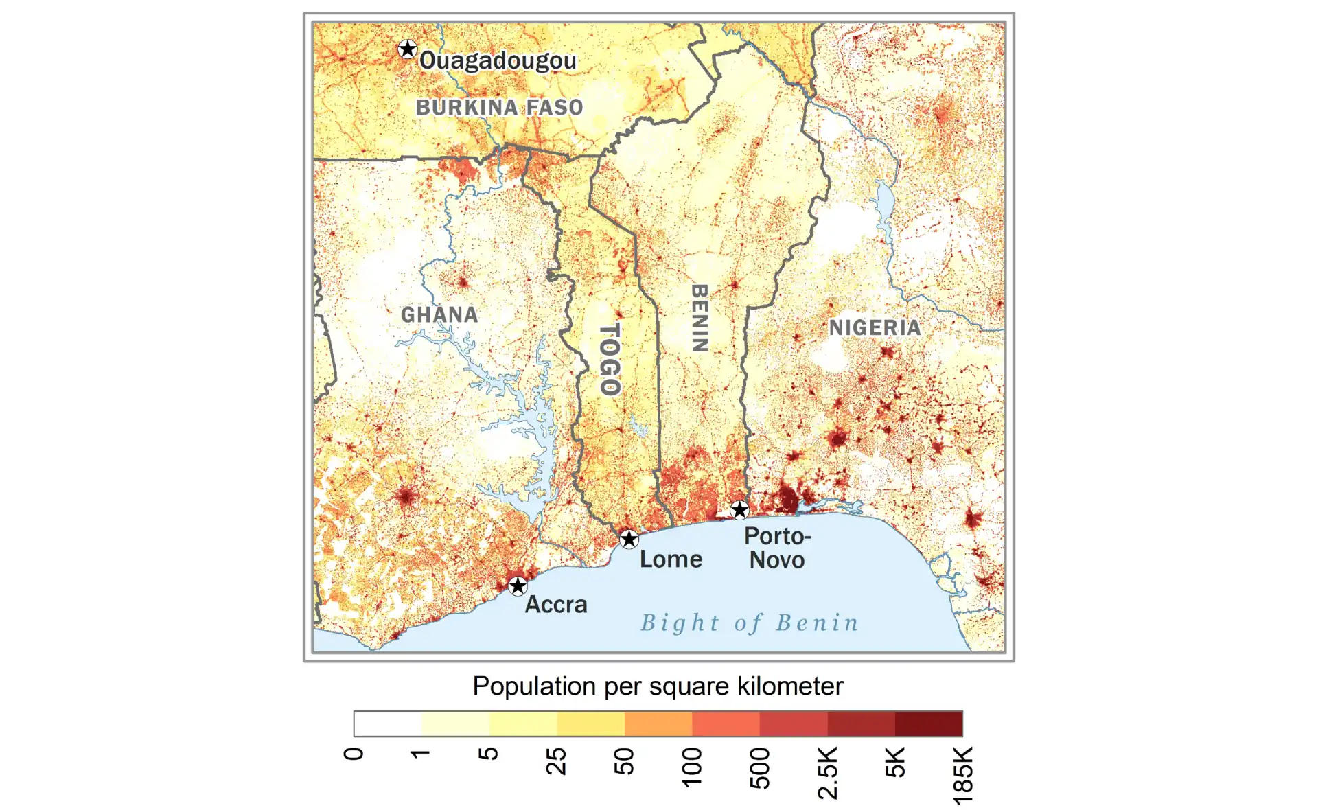
Usage Guidelines
- No attribution required, but appreciated
- Maps are regularly updated to reflect current political boundaries
- WebP format offers the best quality-to-size ratio for web use
- PNG format is ideal for presentations and printing